Elevation profile
- Walking time
- 3 htotal
- Distance
- 7.5 kmLoop
- Ascent
- 355 m
- Highest point
- 984 m
About this hike
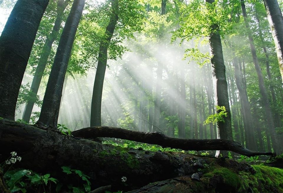
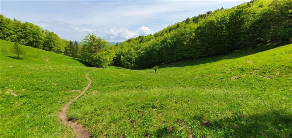
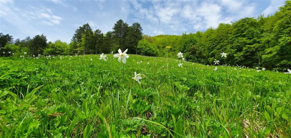
The trail is a loop, so it ends where it starts. According to PZS (maPZS) it follows the edge of the Krokar primeval forest, inscribed on the UNESCO World Natural Heritage list in 2017, to the Kremparsko sedlo saddle (869 m, 10 m from the route); PZS describes Krempa as the southernmost narcissus site in Slovenia. A beech tree on the Krempa meadow stands beside the path. Total ascent is 355 m, descent 350 m, and the highest point is at 984 m. By NaHrib's calculation the full circuit takes about 3 h. The information boards are in Slovene and English, and the trail is managed by the Slovenia Forest Service (Zavod za gozdove Slovenije). The trail lies in the municipality of Kočevje.
Frequently asked questions
How long is the Borovška naravoslovna pot and how long does it take?
It is a 7.5 km loop with 355 m of ascent. By NaHrib's calculation the full circuit takes about 3 h.
What is there along the route?
The path follows the edge of the Krokar primeval forest to the Kremparsko sedlo saddle (869 m, 10 m from the route). A beech on the Krempa meadow is also beside the path.
How is the trail marked and who manages it?
It is marked with a narcissus symbol, and the information boards are in Slovene and English. The Slovenia Forest Service (Zavod za gozdove Slovenije) manages it.
Where is the highest point?
The highest point is at 984 m, and total descent is 350 m.
Photos
Difficulty
i
SAC scale from OSM, not an official rating
No data
- DogNo data
- KidsSuitable
Community reports
i
Unverified. User reports never change the official status.
No reports yet.
Log in Report conditions · Add a photo
Spotted a mistake? An editor checks it before anything changes.
Report incorrect data
Spotted a mistake? An editor checks it before anything changes.