Via ferratas and protected climbing routes
An overview of via ferratas and protected climbing routes with verified data. The ferrata grade (A–F) is not the SAC hiking scale; check gear, conditions and experience before you start.
Gorenjska
21 via ferratas
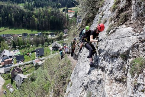 Outdoor Mojstrana, Vir: Outdoor Mojstrana 838 m
Ferata Mojstrana: Aljaževa pot
40 min
464 m
176 m
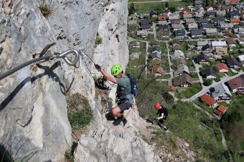 Outdoor Mojstrana, Vir: Outdoor Mojstrana 838 m
Ferata Mojstrana: Pot mojstranških veveric
40 min
456 m
173 m
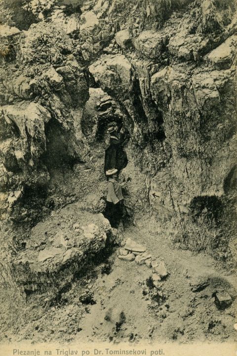 Fran Pavlin, Public domain 2,092 m
Tominškova pot (Triglav)
1 h 10 min
914 m
315 m
2,859 m
Plezalna pot s Kredarice na Triglav
1 h 15 min
873 m
327 m
2,525 m
Rjavina: Pot iz Pekla
1 h 25 min
858 m
377 m
2,326 m
Hanzova pot na Malo Mojstrovko
1 h 35 min
865 m
393 m
1,842 m
Pot skozi Žrelo (Storžič)
2 h 35 min
1.6 km
723 m
2,509 m
Bambergova pot (Pot čez Plemenice)
2 h 50 min
2.5 km
752 m
2,088 m
Pot čez Prag (Triglav)
3 h 5 min
2.3 km
817 m
1,684 m
Pot čez Žrelo (Ravenska Kočna)
3 h 50 min
4.7 km
867 m
strenuous 2,537 m
Slovenska pot na Prisojnik
4 h 20 min
5.1 km
1,066 m
strenuous 2,537 m
Kopiščarjeva pot na Prisojnik
4 h 40 min
3.8 km
1,161 m
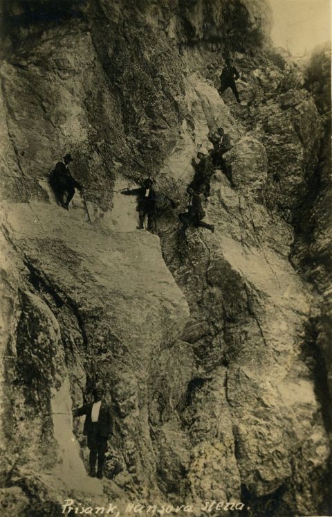 Fran Pavlin, Public domain strenuous 2,538 m
Hanzova pot na Prisojnik
5 h 30 min
3.8 km
1,425 m
strenuous 2,398 m
Pot Lojzeta Rekarja (Vrbanove špice)
5 h 40 min
4.7 km
1,473 m
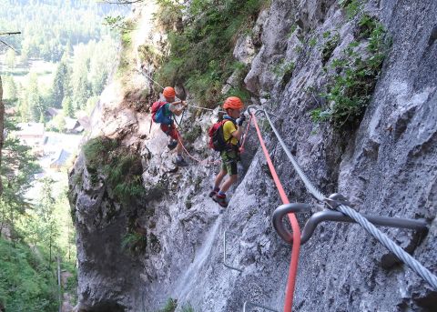 Outdoor Mojstrana, Vir: Outdoor Mojstrana Very difficult 865 m
Športna ferata Jerman
20 min
155 m
87 m
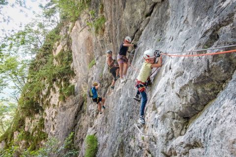 Outdoor Mojstrana, Vir: Outdoor Mojstrana Very difficult 918 m
Športna ferata Hvadnik
40 min
688 m
152 m
Very difficult 1,662 m
Športna ferata Spodnji Plot (D)
40 min
730 m
120 m
Very difficult 634 m
Športna ferata Renke I (C/D)
1 h
1.3 km
13 m
Very difficult 1,527 m
Športna ferata na Češko kočo
1 h 30 min
473 m
340 m
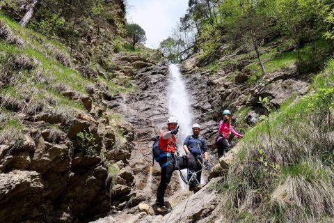 Outdoor Mojstrana, Vir: Outdoor Mojstrana Very difficult 897 m
Ferata Dobršnik
1 h 30 min
2.6 km
283 m
Štajerska (Styria)
6 via ferratas
Primorska (Littoral)
5 via ferratas
Notranjska
2 via ferratas
Koroška (Carinthia)
4 via ferratas
What a via ferrata is
A via ferrata (Italian for "iron way", German Klettersteig) is a climbing route protected by steel cable, rungs, ladders or bridges. You move along it clipped to a via ferrata set that absorbs the shock of a fall. Even a well-equipped route demands arm strength, balance and a head for heights.
NaHrib distinguishes three kinds: sport via ferratas (short, built for climbing, graded A–F), protected mountain paths (marked mountain paths with cables on parts, mostly high in the mountains) and training routes with cables. Protected mountain paths are judged by mountain difficulty; the letters A–F apply to them only for the cabled sections.
Where we have no verified line of the climbing section we show only the entry or parking point. We do not offer or compute navigation across climbing sections.
Difficulty grade A–F
The grade tells how demanding the climbing part is. For each route we give the overall grade and the hardest section, because a single hard part can decide the whole climb.
| A | easy |
|---|---|
| B | moderately difficult |
| C | difficult |
| D | very difficult |
| E | extremely difficult |
| F | exceptionally difficult |
Intermediate grades (B/C, C/D, D/E) mark a transition between two grades. Grades are subjective and differ between sources; we give the source and, where they differ, both values. The ferrata grade is not the SAC hiking scale, so do not compare them.
Gear
- Via ferrata set with a fall energy absorber
- Climbing harness
- Helmet
- Via ferrata gloves (recommended)
- Sturdy mountain boots with good grip; climbing shoes for harder routes if needed
Via ferrata gear can be rented from some providers, for example Kofler Sport in Mojstrana and the TIC in Jezersko. Check stock and conditions before you go.
Before you go
- Check the weather. Do not enter in rain or a thunderstorm: wet rock is slippery and the cable conducts lightning.
- Check the season and closures with the operator or the municipality. According to official sources Hvadnik, Jerman, Dobršnik and Mojstrana are closed from 31 October to 1 April.
- Judge your experience. Start with a lower grade, ideally with a guide or on a course; grade D and above needs experience.
- Children: some routes set a minimum child height (e.g. 130 cm Dobršnik, 135 cm Hvadnik according to the provider). A child must be clipped in at all times.
- Plan the descent and the time. On many routes the descent is by another path or a mountain trail.
- Only one person should be on a section between two anchors. In an emergency call 112.
Frequently asked questions about via ferratas
What is a via ferrata and how does it differ from a mountain path?
A via ferrata is a climbing route with cable, rungs or ladders on which you clip in with a via ferrata set. A mountain path is a marked trail without compulsory climbing gear; protected mountain paths have cables on parts but are rated as mountain paths.
Is the A–F grade the same as SAC?
No. SAC is the scale for hiking paths, A–F is for the climbing part of a via ferrata. We do not convert between the scales.
Can a beginner do a via ferrata?
It depends on the route. Start with a lower grade, with proper gear and ideally with a guide or on a course; for each route read the hardest section and the conditions.
What gear do I need?
A via ferrata set, a climbing harness and a helmet; gloves and sturdy footwear are recommended. Where a source states the gear for a particular route it is listed there.
Does NaHrib offer a track and navigation for via ferratas?
We do not generate navigation routes across climbing sections. Where we have a verified line we show it on the map; otherwise we show only the entry or parking point. Navigation leads to the trailhead.
When are via ferratas closed?
Closures and seasons differ; the operator or municipality publishes them. For each route we give the official source and the date checked; where there is no official source we say so.