Elevation profile
- Walking time
- 1 h 30 minup · 40 min down
- Distance
- 2.6 kmOut and back
- Ascent
- 283 m
- Highest point
- 897 m
Via ferrata: grade and gear
Closed 31. 10.–1. 4.
- Hardest sectionC (zgornji del ob slapu)
- Climbing part1000 m
- Height of the climbing part270 m
- Approach15 min
- Climbing75 min
- Descent40 min
- Minimum child height130 cm
- čelada
- komplet za samovarovanje
- ustrezna obutev in oblačila
The ferrata grade (A–F) is not the SAC hiking scale: do not compare them. · Sources: visit.jesenice.si (uradni) · kranjska-gora.si (uradni) · Checked 1. 11. 2026
Before you go
-
Via ferrataprotected climbing route
Helmet, harness and a via ferrata set and experience are required. Do not enter in rain or during a thunderstorm; the ferrata grade is not the SAC scale.
About this hike
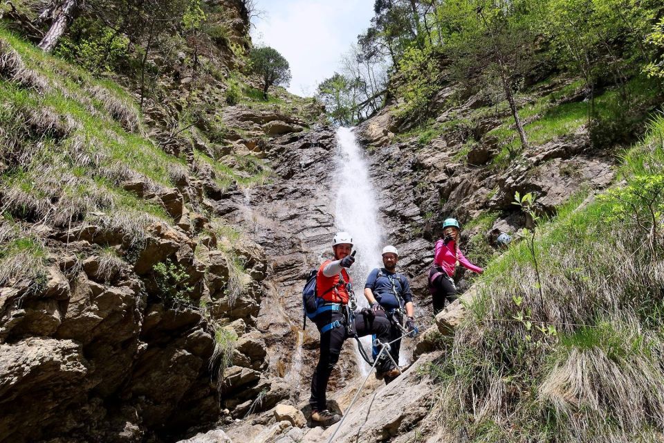
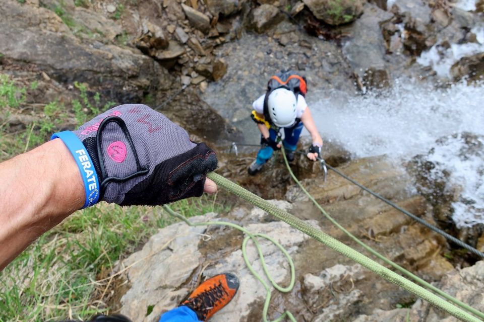
Dobršnik is a sport via ferrata above Hrušica in the municipality of Jesenice, in the Karavanke, beside a stream with a group of waterfalls. The Kranjska Gora tourist website gives eight waterfalls, Jesenice tourism seven; the highest is said to be about 22 m. According to a community source it opened on 3 August 2022. No operator is named in the sources consulted.
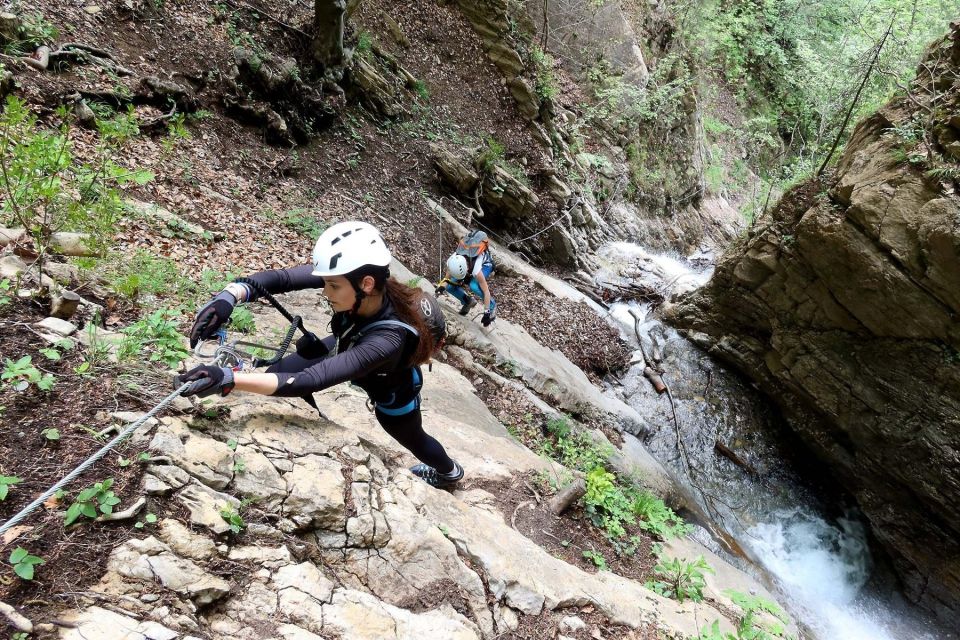
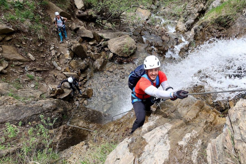
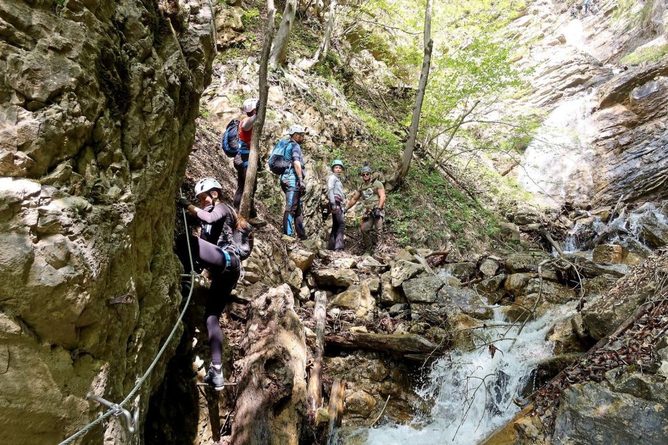
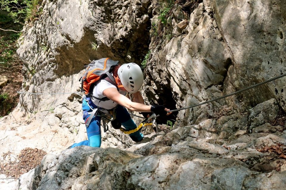
Kranjska Gora rates it B, with C towards the top, on the A–F letter scale (not SAC); Jesenice tourism gives grade B. The upper part beside the waterfall is harder, and according to Outdoor Mojstrana the more demanding section is the steep middle with sparse pegs. The protected route is 1000 m long with a height difference of 270 m. The approach to the entrance takes about 15 min and the climb about 1 h 15 min; according to Jesenice tourism, the whole outing takes around 2 h 10 min. The descent does not follow the climbing line but a marked forest path; the sources disagree on its duration, so we do not state it.
The trailhead is the maintained car park in Hrušica, described by Outdoor Mojstrana as behind the pizzeria, on the right. Red arrows and yellow signs lead to the entrance. A helmet, a via ferrata set, suitable footwear and clothing are required. Kranjska Gora forbids entry for inexperienced climbers and for minors not accompanied by an adult. According to Outdoor Mojstrana the minimum child height is 130 cm and it is not suitable as a first via ferrata; the height limit is not officially confirmed. The rock can be slippery.
The via ferrata is closed from 31 October to 1 April. Do not enter during a thunderstorm, in snow or at night; rain brings a risk of flooding in the streambed, and the stream runs higher after rain. Before setting out, check the website of Kranjska Gora or Jesenice tourism. Postpone the trip after rain: rainfall brings a risk of flooding in the streambed, the stream runs higher and the rock is slippery.
Frequently asked questions
How hard is the Dobršnik via ferrata and where is the hardest section?
Kranjska Gora rates it B, with C towards the top, and Jesenice tourism B (A–F scale, not SAC). The upper part beside the waterfall is harder; according to Outdoor Mojstrana the steep middle with sparse pegs is more demanding.
What equipment do I need?
A helmet, a via ferrata set, suitable footwear and clothing are required. As the route runs beside waterfalls, expect wet rock.
Is Dobršnik suitable for beginners and children?
Kranjska Gora forbids entry for inexperienced climbers and for minors not accompanied by an adult. Outdoor Mojstrana gives a minimum height of 130 cm and does not recommend it as a first via ferrata; the height limit is not officially confirmed.
Where do I park and how do I reach the entrance?
Park at the maintained car park in Hrušica, described by Outdoor Mojstrana as behind the pizzeria, on the right. It is about 15 min on foot to the entrance, following red arrows and yellow signposts.
When is the via ferrata closed?
From 31 October to 1 April, according to Kranjska Gora and Jesenice tourism. Check their pages for the current status before your visit.
What should I do in rain or a thunderstorm?
Entry is not advised in a thunderstorm, in snow or at night, and rain brings a risk of flooding in the streambed. After rain the stream is higher and the rock slippery, so postpone the trip.
Photos
Difficulty
i
SAC scale from OSM, not an official rating
Very difficult
Community reports
i
Unverified. User reports never change the official status.
No reports yet.
Log in Report conditions · Add a photo
Spotted a mistake? An editor checks it before anything changes.
Report incorrect data
Spotted a mistake? An editor checks it before anything changes.