Elevation profile
- Walking time
- 1 h 10 minup · 45 min down
- Distance
- 914 mOut and back
- Ascent
- 315 m
- Highest point
- 2,092 m
Via ferrata: grade and gear
The ferrata grade (A–F) is not the SAC hiking scale: do not compare them. · Checked 1. 11. 2026
Before you go
-
Via ferrataprotected climbing route
Helmet, harness and a via ferrata set and experience are required. Do not enter in rain or during a thunderstorm; the ferrata grade is not the SAC scale.
-
High mountainsabove 1800 m
The weather changes quickly, snow and ice are possible outside winter too. Check conditions and equipment before you leave.
About this hike
The Tominškova pot is a high-mountain protected route in Triglav National Park that starts in Vrata at Aljažev dom and leads towards Kredarica. We class it as very demanding, which matches the label ‘very demanding path’ in other sources; we found no official PZS grade or route status.
The car park is at 46.413, 13.8472 according to the data, and the entrance to the protected section at 46.3964, 13.8487. The height difference is about 620 m; the source estimates the approach at about 1 h 30 min, the climb at around 4 h and the descent at 3 h 30 min. For the whole stretch from Aljažev dom to Kredarica one community source gives 4 h 55 min. The length of the protected section is unreliable: the description gives 1700 m, another figure 620 m.
Another community source grades the route A/B on the letter scale for via ferratas; this is not a PZS grade and not SAC. The sources disagree on its difficulty compared with other routes to Triglav, so do not rely on comparisons. A peculiarity is that, according to the description, there are only pegs without rope in places instead of cables.
The source lists a helmet and, in spring, an ice axe and crampons. Before setting out, check the route status with PZS, conditions at the huts and the weather. This is not a sport via ferrata, and the route is not for beginners. A high-mountain route for experienced climbers; in places there are only pegs without rope. Check PZS and the weather before setting out.
Frequently asked questions
How difficult is the Tominškova pot?
It is a high-mountain protected route that other sources describe as very demanding. A community source grades it A/B on the letter scale for via ferratas, which is not a PZS grade and not SAC. The sources disagree on its difficulty compared with other routes to Triglav and on the length of the protected section (1700 or 620 m).
What equipment do I need?
The source lists a helmet and, in spring, an ice axe and crampons. As some sections have only pegs instead of cables, the source says nothing about additional equipment (via ferrata set, harness), so check with PZS or at the huts.
Is the route suitable for beginners and children?
The source does not say explicitly; we do not recommend the route for beginners or children: it is high-mountain, about 4 h of climbing, and in places has only pegs without rope.
Where do I park and how do I reach the trailhead?
The car park in Vrata is at 46.413, 13.8472 according to the data, and the trailhead is Aljažev dom. The entrance to the protected section is at 46.3964, 13.8487; the source estimates the approach at about 1 h 30 min.
When is the route in good condition?
No official status or closures were found in the sources we read. The source mentions only an ice axe and crampons in spring. Check conditions with PZS and at the huts.
What should I do in bad weather?
In bad weather or with a poor forecast, do not start the route; the descent takes about 3 h 30 min according to the source, so allow a time reserve. If the weather surprises you, turn back before conditions worsen.
Photos
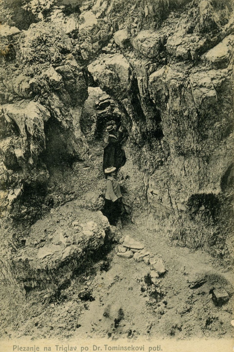
On the route according to OSM
i
Share of length tagged in OSM: surface 100%, difficulty 100%, visibility 0%. An untagged section means no data, not no obstacle.
OSM lists no special features for this route.
- Surface
- rock 914 m
Community reports
i
Unverified. User reports never change the official status.
No reports yet.
Log in Report conditions · Add a photo
Spotted a mistake? An editor checks it before anything changes.
Report incorrect data
Spotted a mistake? An editor checks it before anything changes.