Elevation profile
- Walking time
- 50 minup · 40 min down
- Distance
- 1.7 kmOut and back
- Ascent
- 174 m
- Highest point
- 789 m
About this hike
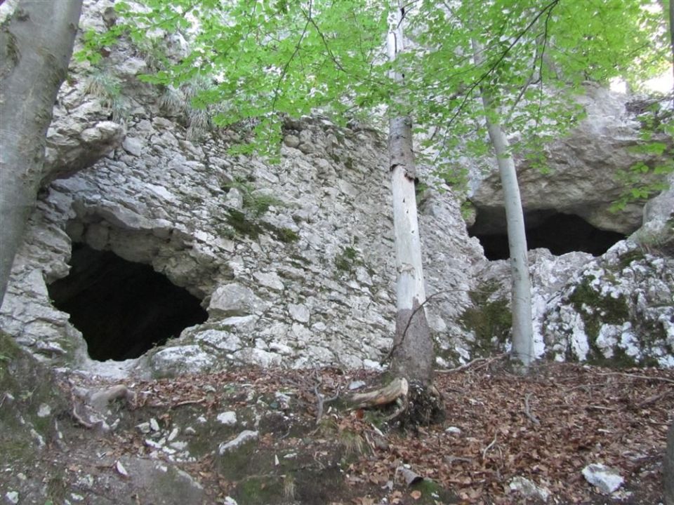
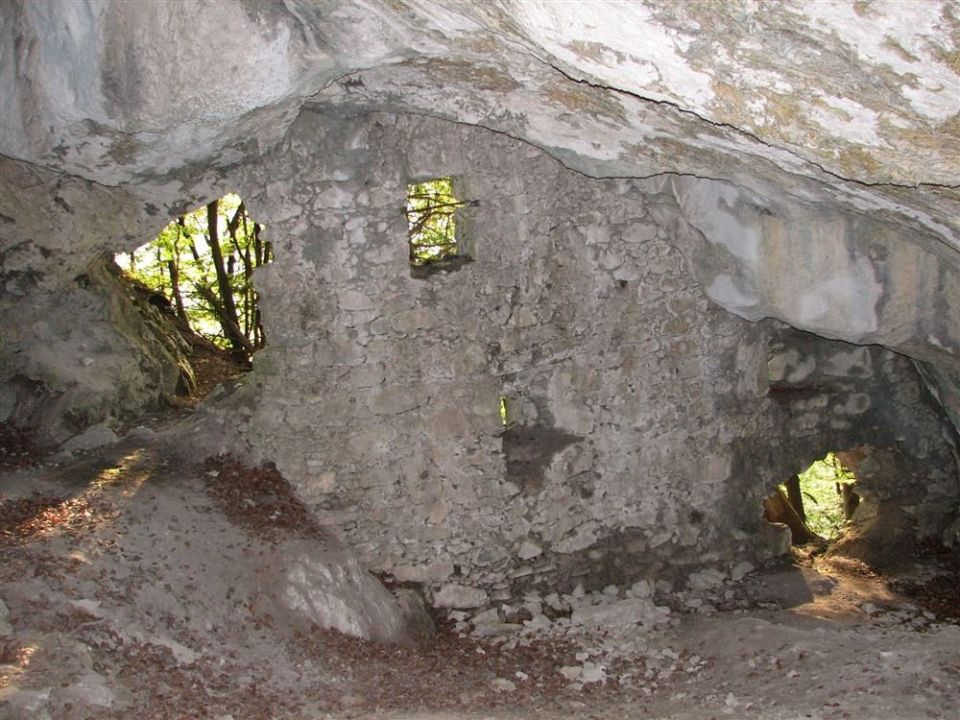
The path Do Turške jame is 1.7 km long and begins at the Završnica reservoir. Ascent is 174 m, and the altitude ranges from 631 to 789 m. It follows a forest track, crosses a stream and climbs along a narrow, steep path. The cave Turška jama v Gozdašnici lies right beside the path (809 m), with a rocky ledge above it. According to the record, children and women once hid in the cave from Turkish raids. Also along the way are the Protiturški tabor in Moste (100 m) and the summit of Gozdašnica (873 m, 100 m from the path), and Lake Završnica is 110 m away. By NaHrib's calculation the climb takes about 50 min and the descent 40 min. It is marked as an easy hiking path. There is a drinking-water point and a public toilet along the way.
Frequently asked questions
How long is the path and how long does it take?
The path is 1.7 km long. By NaHrib's calculation the climb takes about 50 min and the descent about 40 min.
Where does it start and how do I get there?
The path starts at Lake Završnica. A car park is 50 m from the start and Žirovnica railway station 1010 m.
What is there along the path?
The cave Turška jama v Gozdašnici is right beside the path, the Protiturški tabor in Moste is 100 m away, the summit of Gozdašnica (873 m) 100 m and Lake Završnica 110 m. There is a drinking-water point and a public toilet.
How demanding is it?
It is marked as an easy hiking path. Ascent is 174 m over 1.7 km, along a narrow, steep path uphill.
Photos
Difficulty
i
SAC scale from OSM, not an official rating
Easy
- DogNo data
- KidsSuitable
Community reports
i
Unverified. User reports never change the official status.
No reports yet.
Log in Report conditions · Add a photo
Spotted a mistake? An editor checks it before anything changes.
Report incorrect data
Spotted a mistake? An editor checks it before anything changes.