Elevation profile
- Walking time
- 50 mintotal
- Distance
- 2.6 kmLoop
- Ascent
- 79 m
- Highest point
- 505 m
About this hike
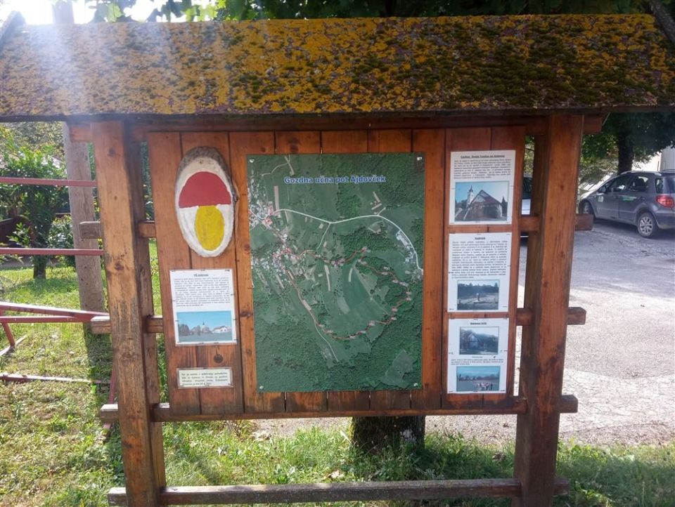
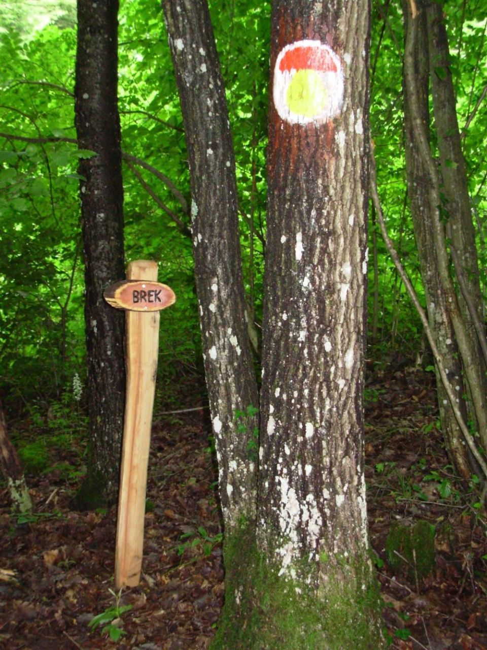
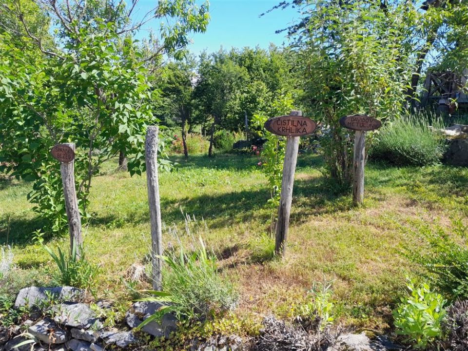
The Ajdovček forest educational trail in the Žužemberk municipality is a loop of 2.6 km. It runs mostly through forest but also across a pasture and a meadow, accompanied by waymarks and signs naming the tree species. In the village three small kozolec-style pavilions carry a map and visitor information. At the highest point, Korenov hrib (507 m, 100 m from the route), the PZS description mentions a view over Ajdovec and the wider surroundings as far as the Julian and Kamnik–Savinja Alps. The trail runs between 433 m and 505 m, with 79 m of ascent and 83 m of descent. By arrangement a private arboretum beside the path can be visited. The PZS rates it an easy forest educational trail and gives the season as March to November. NaHrib calculates about 50 minutes for the full loop.
Frequently asked questions
How long is the trail and how much time do I need?
The trail is 2.6 km and circular. NaHrib calculates about 50 minutes for the full loop.
Where can I park?
A car park is about 70 m from the start.
What is there along the trail?
Čebelnjak, Učilnica v naravi, Kraški pojavi, three map pavilions in the village and, per the PZS description, a view from Korenov hrib.
When should I visit?
The PZS gives the season as March to November.
Photos
Difficulty
i
SAC scale from OSM, not an official rating
Easy
- DogNo data
- KidsSuitable
Community reports
i
Unverified. User reports never change the official status.
No reports yet.
Log in Report conditions · Add a photo
Spotted a mistake? An editor checks it before anything changes.
Report incorrect data
Spotted a mistake? An editor checks it before anything changes.