Elevation profile
- Walking time
- 1 htotal
- Distance
- 2.8 kmLoop
- Ascent
- 111 m
- Highest point
- 701 m
About this hike
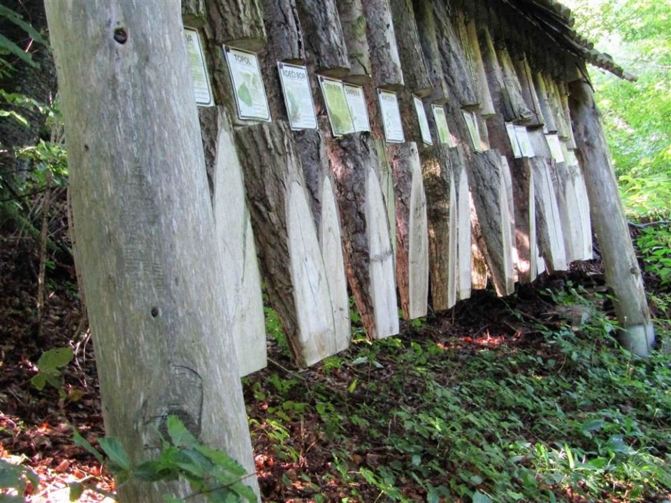
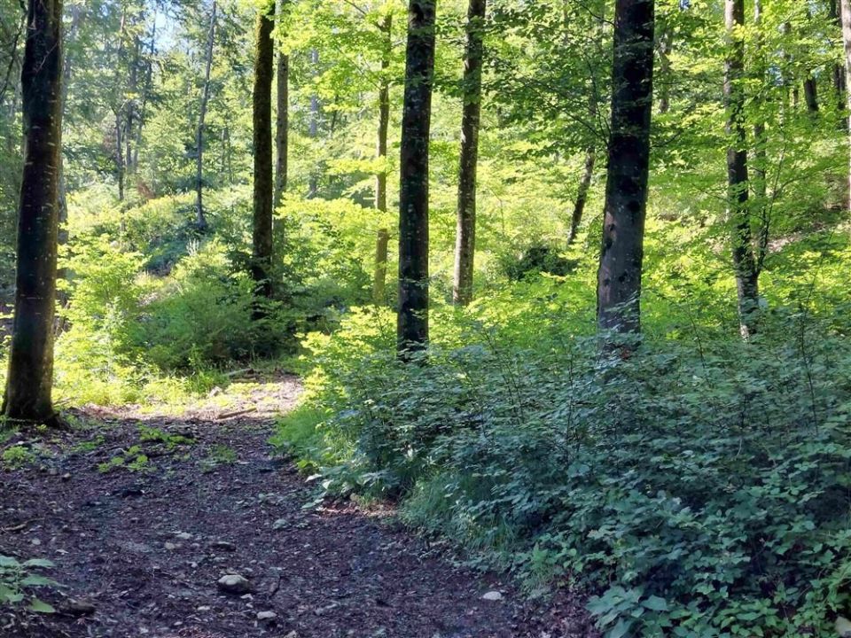
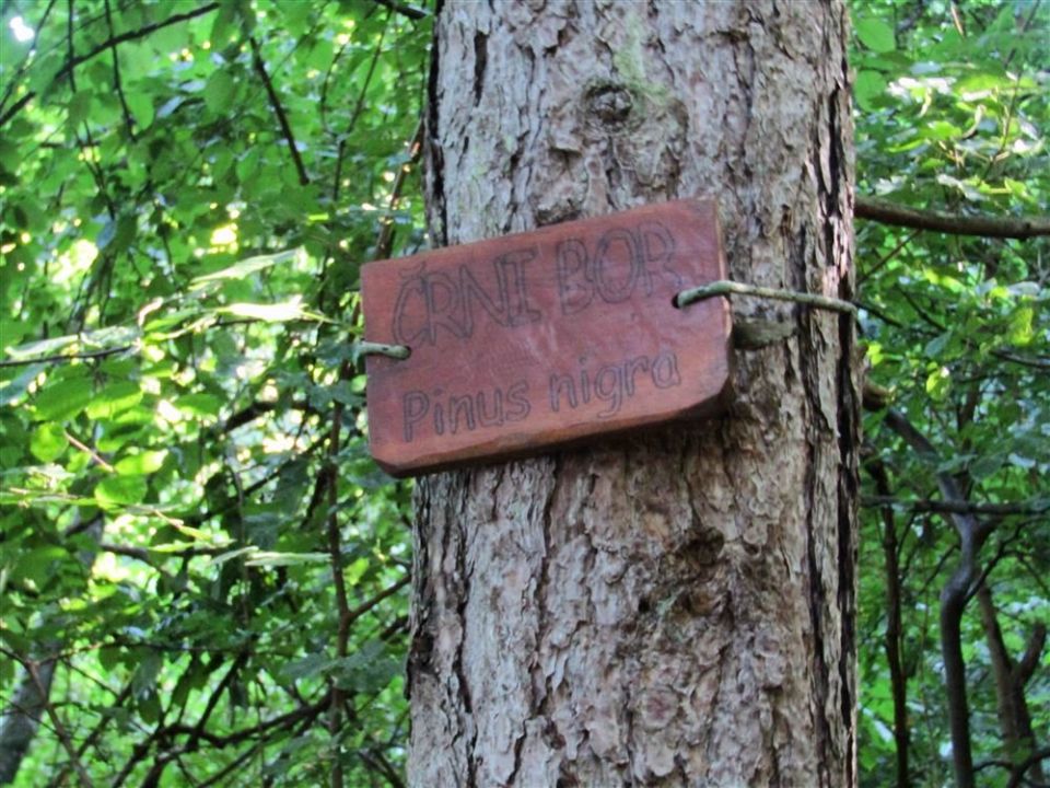
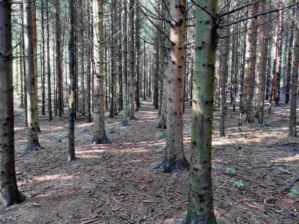
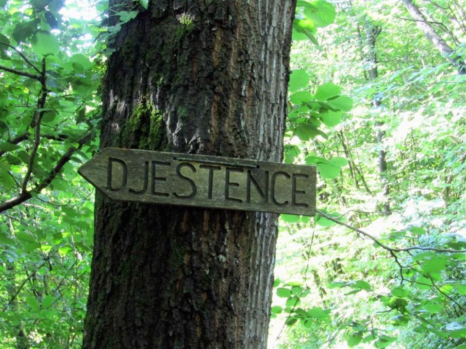
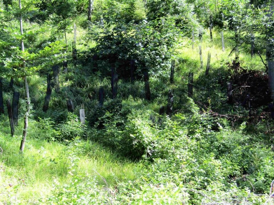
This is a 2.8 km loop with 111 m of ascent and 110 m of descent, between a low point of 600 m and a high point of 701 m. From the Curek stream it climbs behind the castle to the sawmill, then follows a path reinforced with stone walls up to Djestence, through a spruce plantation and past meadows at Jamniki, into regenerated forest and back down to the stream. Žaga and a learning point are marked along the way. PZS classes it as a very demanding forest educational trail, and NaHrib's calculation gives about 60 min for the circuit. The nearest bus stop, Senožeče, is 560 m from the start. The trail is managed by the Slovenian Forest Service.
Frequently asked questions
How long is the trail and how much time do I need?
It is a 2.8 km loop. NaHrib's calculation gives roughly 60 min for the circuit.
How demanding is it?
PZS classes it as a very demanding forest educational trail. The ascent is 111 m and the highest point is at 701 m.
How do I reach the start?
The nearest bus stop, Senožeče, is 560 m from the start.
What is along the trail?
Žaga and a learning point are marked. The route passes through a spruce plantation and by meadows at Jamniki.
Photos

Difficulty
i
SAC scale from OSM, not an official rating
Very difficult
- DogNo data
- KidsNo data
Community reports
i
Unverified. User reports never change the official status.
No reports yet.
Log in Report conditions · Add a photo
Spotted a mistake? An editor checks it before anything changes.
Report incorrect data
Spotted a mistake? An editor checks it before anything changes.