Elevation profile
- Walking time
- 1 h 5 mintotal
- Distance
- 3.2 kmLoop
- Ascent
- 118 m
- Highest point
- 423 m
About this hike
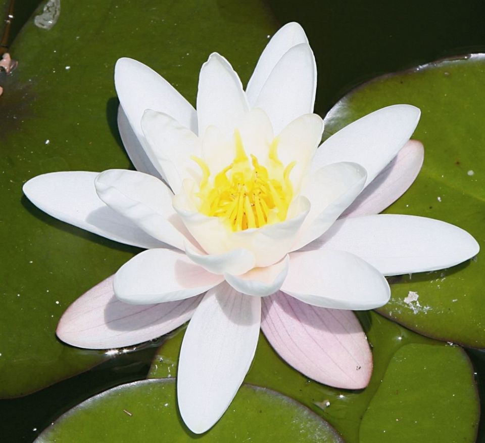
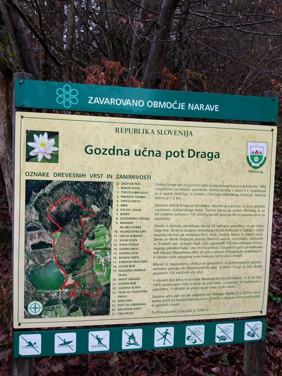
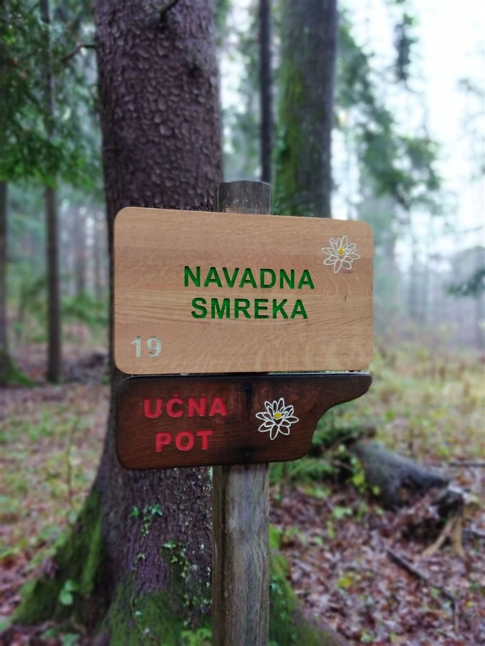
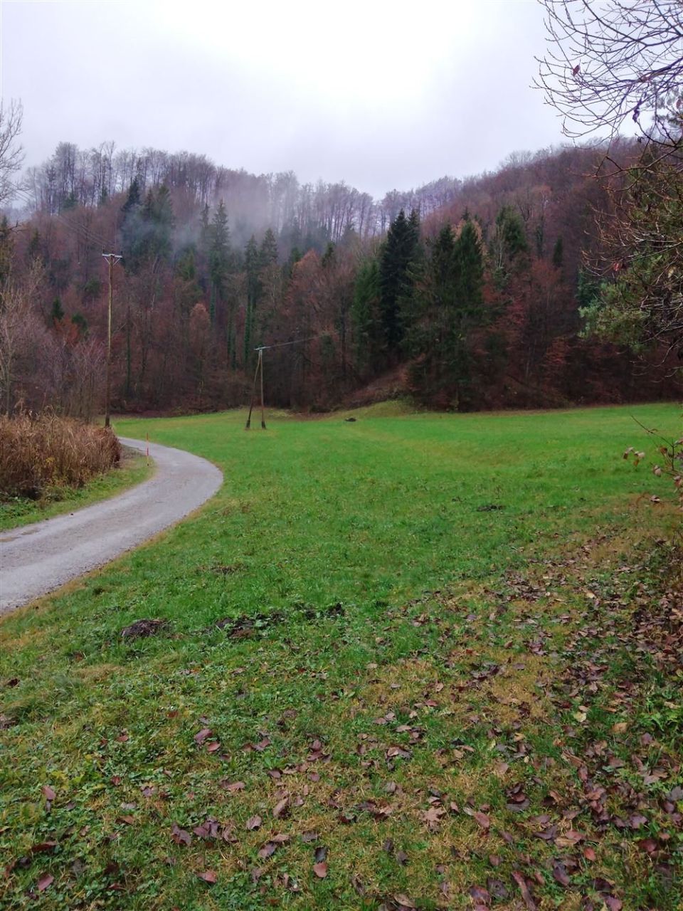
The trail is a 3.2 km loop with 118 m of ascent and 122 m of descent, between 311 and 423 m. According to PZS it starts at the hunting lodge by Veliki ribnik, follows forest skid tracks and partly forest roads, passes through the Draške rebri woods below the village of Dobravica, goes round Čelo at 415 m and comes out onto the village road by Srednji ribnik. The trail marker is a white water lily. The 27 wooden boards mostly present tree and shrub species, and the numbered points include Bukov gozd, Toploljubni gozd, Rakasta tvorba, Votlo drevo, Brek and Poljski javor. The ponds Srednji, Rezani, Veliki and Mali ribnik lie by the route. PZS gives March to November as the season, and the Slovenia Forest Service looks after the trail. The Podgozd bus stop is 600 m from the start.
Frequently asked questions
How long is Gozdna učna pot Draga?
It is a 3.2 km loop with 118 m of ascent, between 311 and 423 m.
Where does it start and how is it marked?
It starts at the hunting lodge by Veliki ribnik in the Draga valley near Ig. The marker is a white water lily.
What does the trail present?
It has 27 wooden boards, mostly on tree and shrub species, and its points include Bukov gozd, Toploljubni gozd, Rakasta tvorba and Votlo drevo.
When can I visit?
PZS gives March to November as the season. The Slovenia Forest Service looks after the trail.
Photos
Difficulty
i
SAC scale from OSM, not an official rating
Easy
- DogNo data
- KidsSuitable
Community reports
i
Unverified. User reports never change the official status.
No reports yet.
Log in Report conditions · Add a photo
Spotted a mistake? An editor checks it before anything changes.
Report incorrect data
Spotted a mistake? An editor checks it before anything changes.