Elevation profile
- Walking time
- 1 h 10 minup · 1 h 5 min down
- Distance
- 2.7 kmOut and back
- Ascent
- 205 m
- Highest point
- 551 m
About this hike
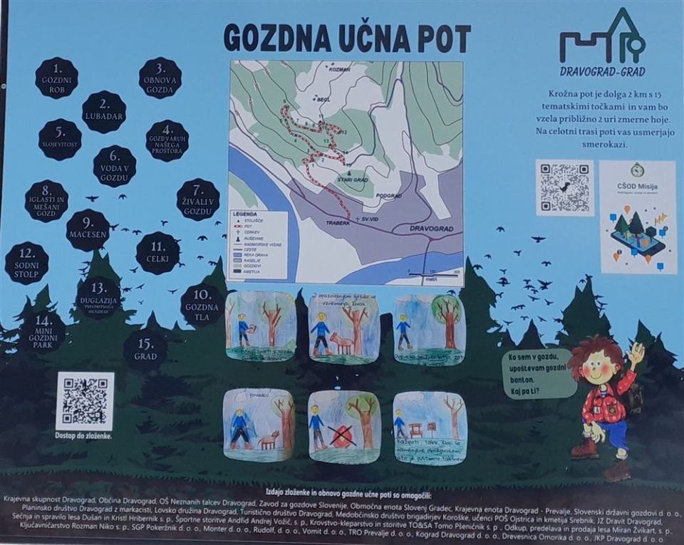
The trail is 2.7 km long and not a loop; it has 205 m of ascent and 88 m of descent, between 362 and 551 m. Marked points include Dravograd and Grajska bajta. The castle ruins (Grajske razvaline) and the ruins of the court tower lie 10 m from the route, with the church of St John the Evangelist at 70 m, the Kaplanija at 100 m and the house at Trg 4. julija 56 at 120 m. PZS classes it as an easy forest educational trail. NaHrib calculates about 70 min in one direction and 65 min in the other. The car park is 40 m from the start, the bus stop 140 m and Dravograd railway station 940 m.
Frequently asked questions
How long is Gozdna učna pot Dravograd - Grad and how much time do I need?
It is 2.7 km with 205 m of ascent. NaHrib calculates about 70 min in one direction and 65 min in the other.
What can I see along the way?
The castle ruins and the ruins of the court tower are 10 m from the route, the church of St John the Evangelist 70 m and the Kaplanija 100 m. Grajska bajta is also marked.
How do I reach the start?
The car park is 40 m from the start, the bus stop 140 m and Dravograd railway station 940 m.
Photos
Difficulty
i
SAC scale from OSM, not an official rating
Easy
- DogNo data
- KidsSuitable
Community reports
i
Unverified. User reports never change the official status.
No reports yet.
Log in Report conditions · Add a photo
Spotted a mistake? An editor checks it before anything changes.
Report incorrect data
Spotted a mistake? An editor checks it before anything changes.