Elevation profile
- Walking time
- 40 mintotal
- Distance
- 2.2 kmLoop
- Ascent
- 50 m
- Highest point
- 488 m
About this hike
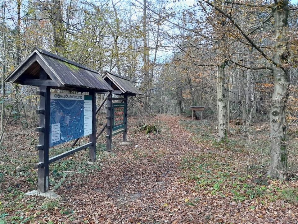
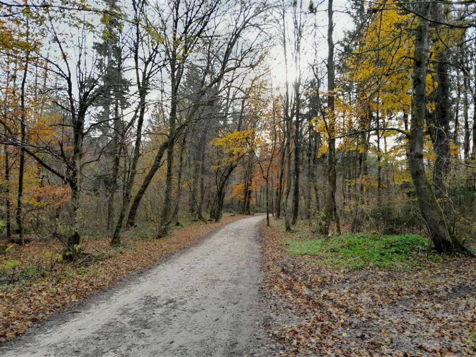
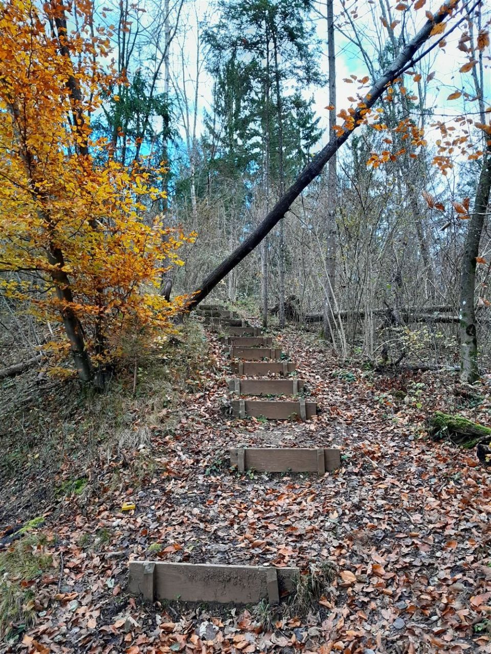
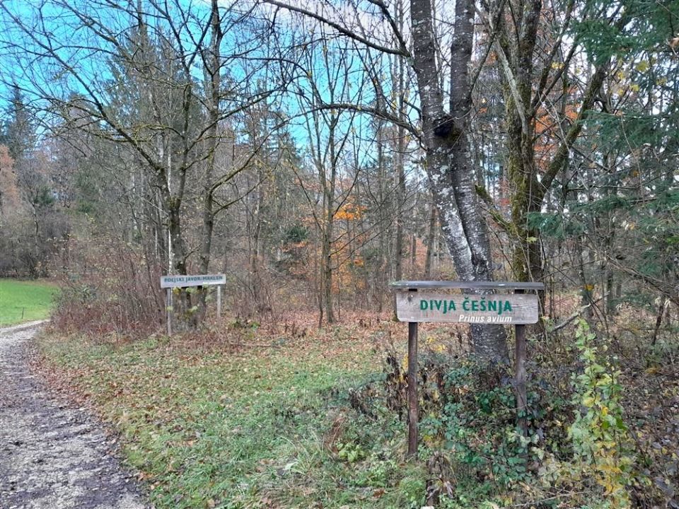
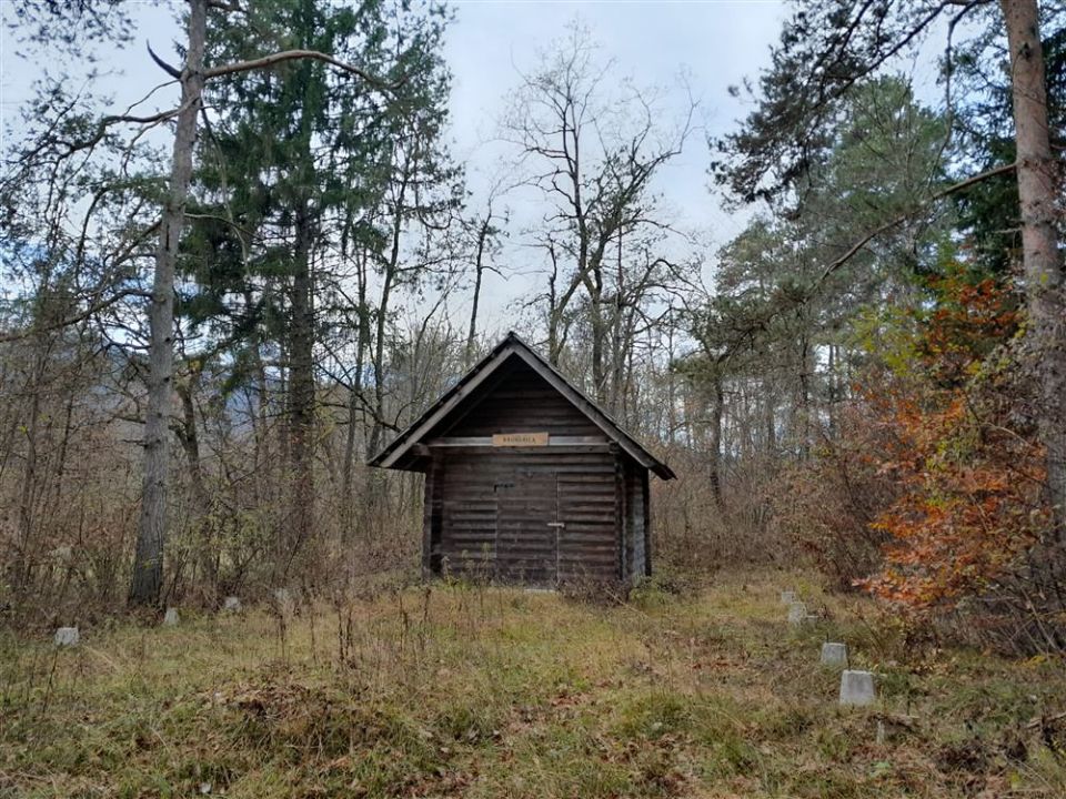
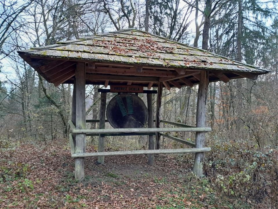
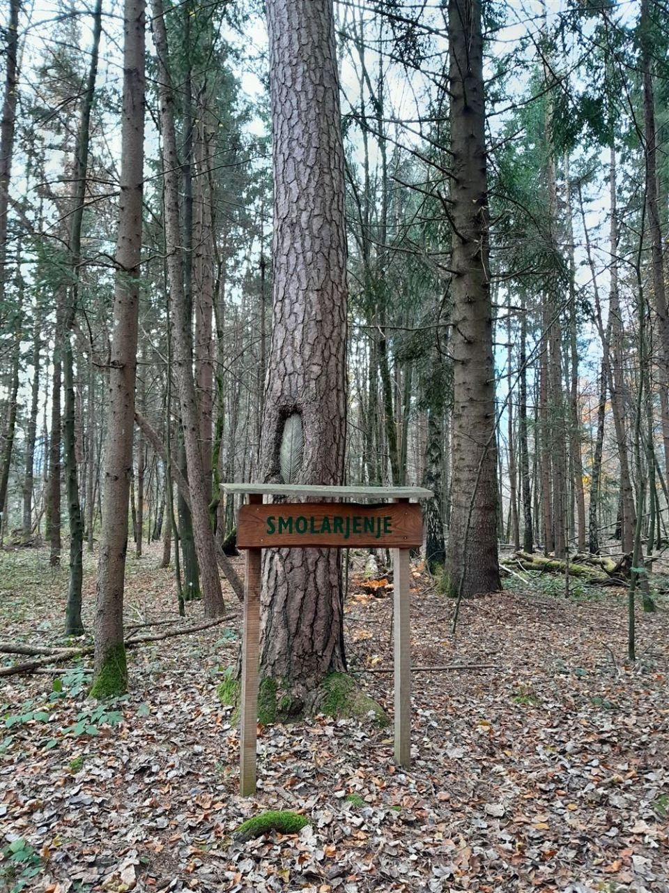
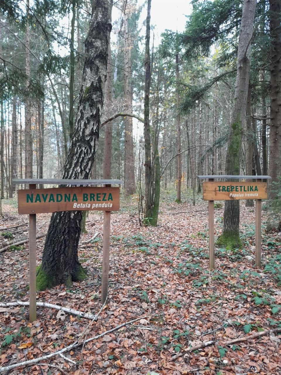
The trail is a 2.2 km loop with about 50 m of ascent and descent, between 456 and 488 m. According to PZS it opened in 1977 and was damaged by a windstorm in 1984. Since 1994 it has been managed by the Slovenia Forest Service, Bled regional unit, and in 1995 it was thoroughly renovated. In 2000 the Radovljica municipal council declared the woods along the trail a forest of special purpose. Points along the way include Gozd kot lastnina, Pravi kostanj, Gospodarski gozd, Češmin, Črni trn, Črni gaber, Iglasti gozd, Gorski brest and Obnova gozda. The trail runs through level forest. NaHrib lists Občina Radovljica as the owner and calculates about 40 min for the loop. The car park is only 10 m from the start.
Frequently asked questions
How long is Gozdna učna pot Predtrški gozd and how much time do I need?
It is a 2.2 km loop with about 50 m of ascent. NaHrib calculates about 40 min for the loop.
How old is the trail?
According to PZS it opened in 1977 and is one of the first educational trails in Slovenia. It was thoroughly renovated in 1995.
What is there along the way?
Points such as Pravi kostanj, Gospodarski gozd, Češmin, Črni trn, Črni gaber, Gorski brest and Obnova gozda.
How do I reach the start?
The car park is 10 m from the start and Globoko railway station 1,420 m.
Photos
Difficulty
i
SAC scale from OSM, not an official rating
Easy
- DogNo data
- KidsSuitable
Community reports
i
Unverified. User reports never change the official status.
No reports yet.
Log in Report conditions · Add a photo
Spotted a mistake? An editor checks it before anything changes.
Report incorrect data
Spotted a mistake? An editor checks it before anything changes.