Elevation profile
- Walking time
- 35 mintotal
- Distance
- 1.7 kmLoop
- Ascent
- 66 m
- Highest point
- 250 m
About this hike
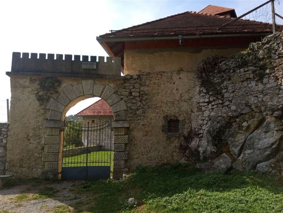
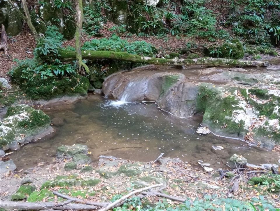
The Stari grad forest educational trail in Novo mesto is circular and 1.7 km long. Ascent and descent are 66 m each, and the altitude varies between 181 and 250 m. It is marked as an easy forest educational trail. According to its description, along the way you learn about the Lešnica stream and aquatic animals, the Stari grad and its past, and the tree species in the forest and their importance. The points include Gozdarska tabla, Gozdne živali, Potok, Potok zavod and the stations Vaje 1, Vaje 2 and Vaje 4, and Stari grad is a marked point too. Zagrad pri Otočcu - Stari grad lies 40 m from the route. By NaHrib's calculation the loop takes about 35 min, and parking is 230 m from the start.
Frequently asked questions
How long is the Stari grad forest educational trail and how much time do I need?
The trail is circular and 1.7 km long. By NaHrib's calculation the full loop takes about 35 min.
What can I learn along the way?
According to its description, you learn about the Lešnica stream, the Stari grad and its past, and the tree species in the forest and their importance.
Which points are marked?
Gozdarska tabla, Gozdne živali, Potok, Vaje 1, Potok zavod, Vaje 2, Stari grad and Vaje 4. Zagrad pri Otočcu - Stari grad is 40 m from the route.
Where do I park and how demanding is the trail?
Parking is 230 m from the start. According to maPZS it is an easy forest educational trail, with 66 m of ascent.
Photos
Difficulty
i
SAC scale from OSM, not an official rating
Easy
- DogNo data
- KidsSuitable
Community reports
i
Unverified. User reports never change the official status.
No reports yet.
Log in Report conditions · Add a photo
Spotted a mistake? An editor checks it before anything changes.
Report incorrect data
Spotted a mistake? An editor checks it before anything changes.