Elevation profile
- Walking time
- 1 h 25 minup · 1 h 25 min down
- Distance
- 4.0 kmOut and back
- Ascent
- 187 m
- Highest point
- 466 m
About this hike
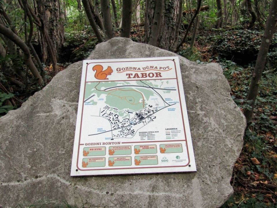
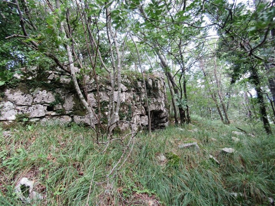
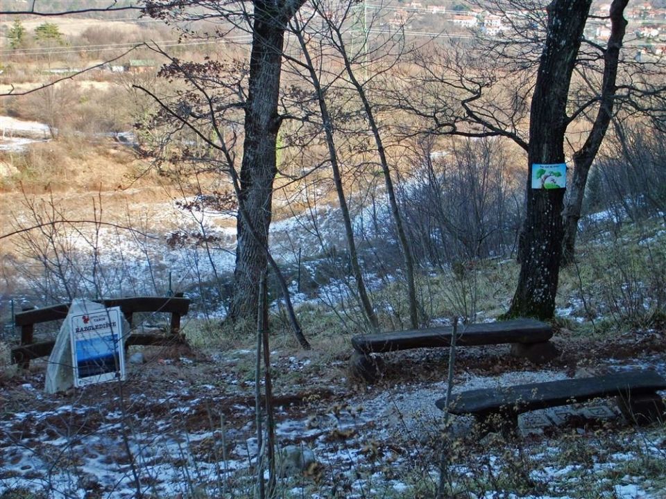
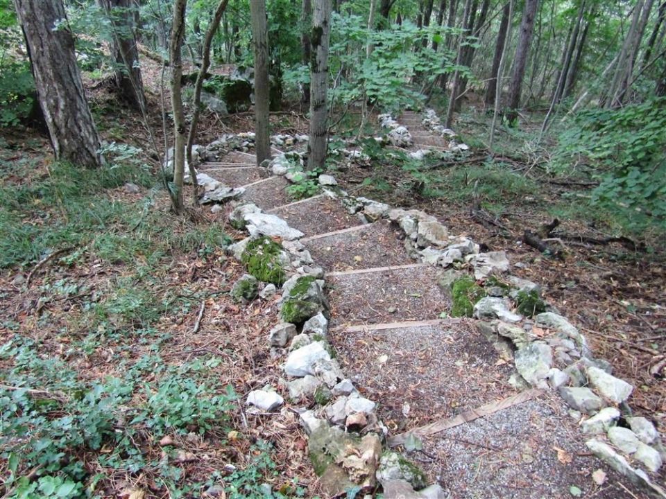
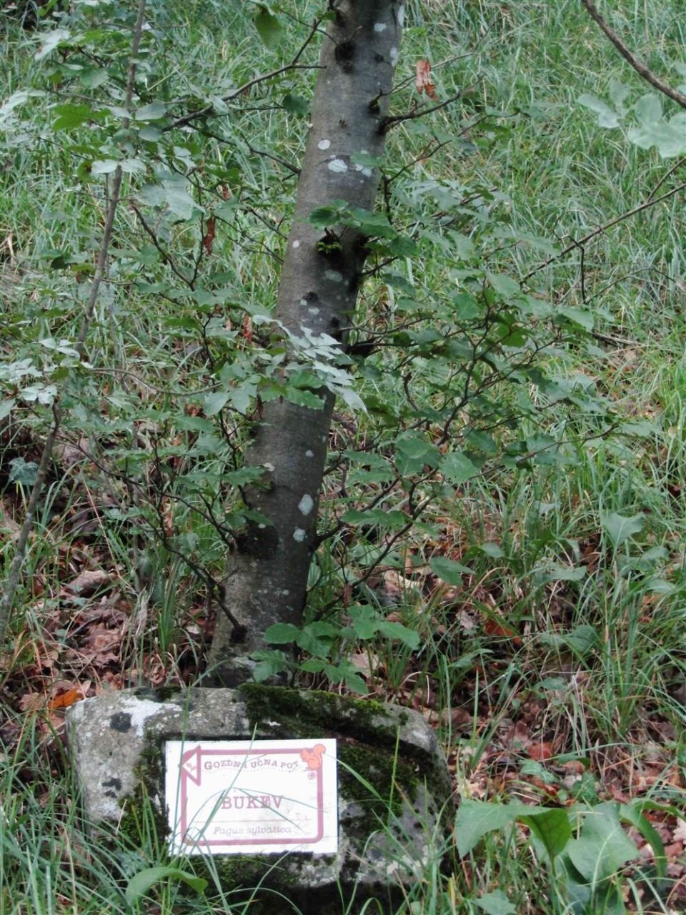
Gozdna učna pot Tabor Sežana is 4.0 km long and is not a loop. The altitude ranges from 381 m to 466 m, with 187 m of ascent and 144 m of descent. The named points are stopnice (steps), avtocesta (motorway) and kamnolom (quarry). The Razgledišče na Kosovelovi poti viewpoint (378 m) lies on the route itself, while the Tabor archaeological site and the summit of Tabor (484 m) are each 30 m away. PZS classes it as an easy forest educational trail; by NaHrib's calculation one direction takes about 1 h 25 min. A car park is 110 m from the start, the Sežana občina bus stop 260 m and Sežana railway station 910 m. The route is managed by the Slovenia Forest Service.
Frequently asked questions
How long is the trail and how much time do I need?
The trail is 4.0 km long. By NaHrib's calculation one direction takes about 1 h 25 min.
Where do I park or take public transport?
A car park is about 110 m from the start, the Sežana občina bus stop 260 m and Sežana railway station 910 m.
What can I see along the way?
The Razgledišče na Kosovelovi poti viewpoint (on the route), the Tabor archaeological site and the summit of Tabor (484 m), both 30 m from the trail.
How demanding is it?
PZS classes it as an easy forest educational trail. The ascent is 187 m and the highest point is 466 m.
Photos

Difficulty
i
SAC scale from OSM, not an official rating
Moderate
- DogNo data
- KidsNo data
Community reports
i
Unverified. User reports never change the official status.
No reports yet.
Log in Report conditions · Add a photo
Spotted a mistake? An editor checks it before anything changes.
Report incorrect data
Spotted a mistake? An editor checks it before anything changes.