Elevation profile
- Walking time
- 1 htotal
- Distance
- 2.7 kmLoop
- Ascent
- 124 m
- Highest point
- 607 m
About this hike
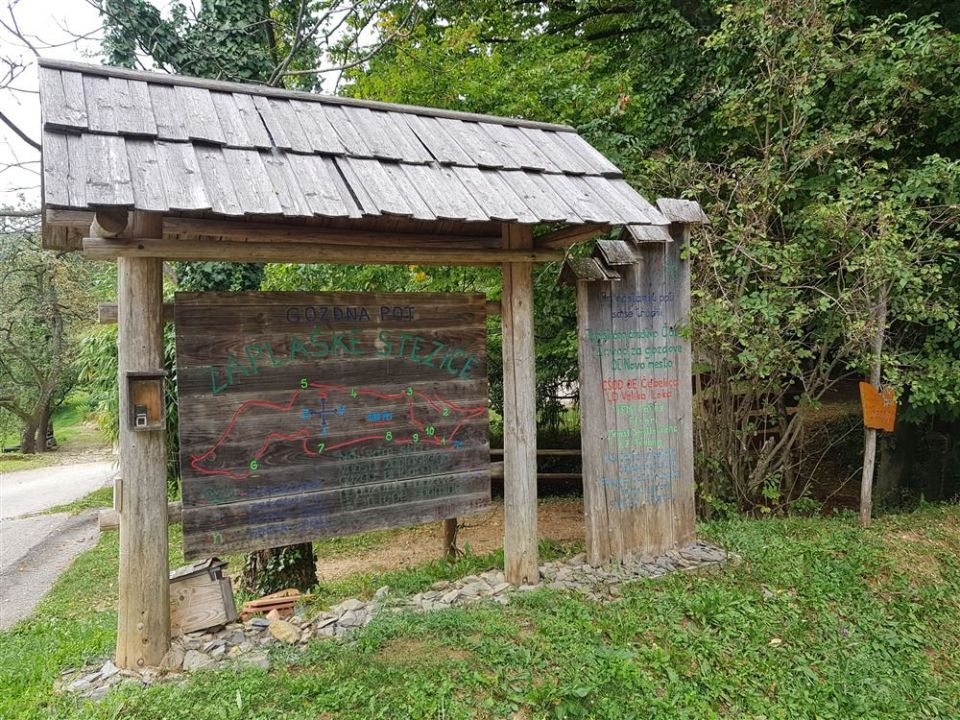
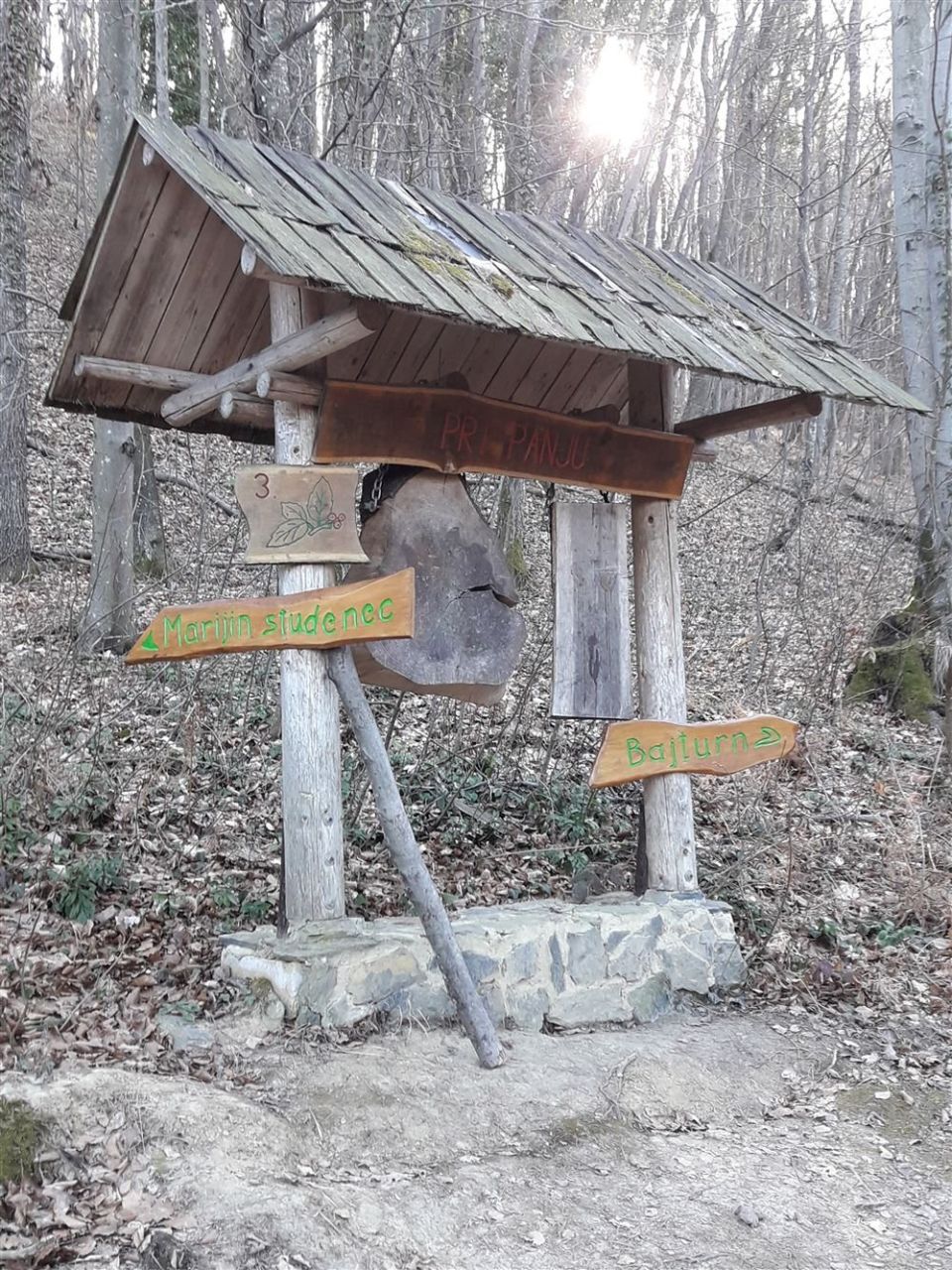
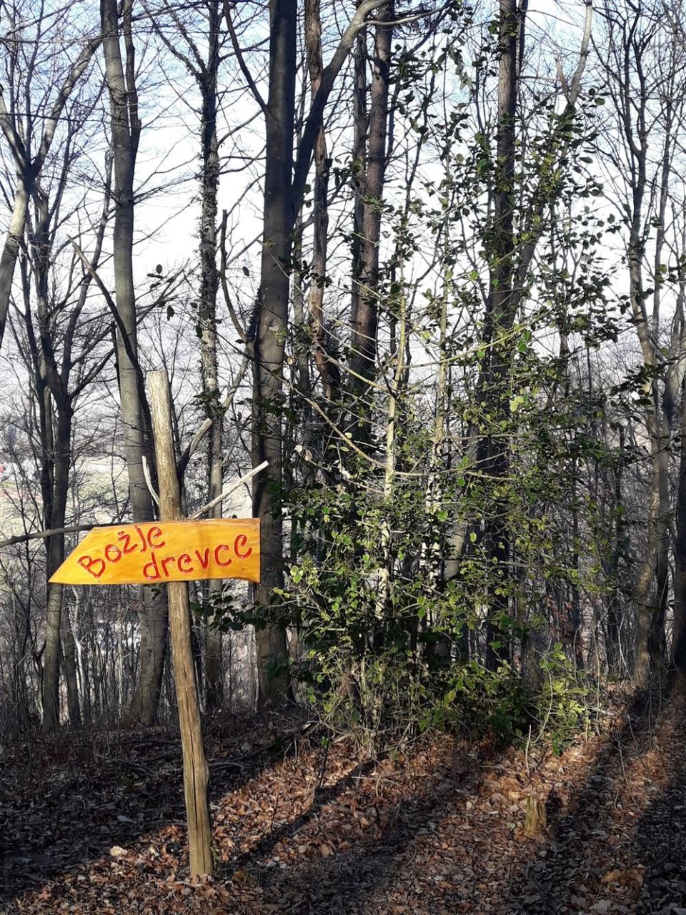
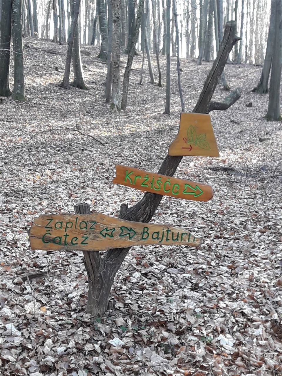
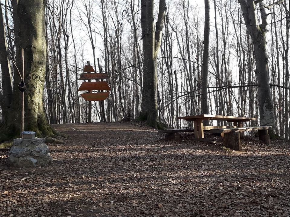
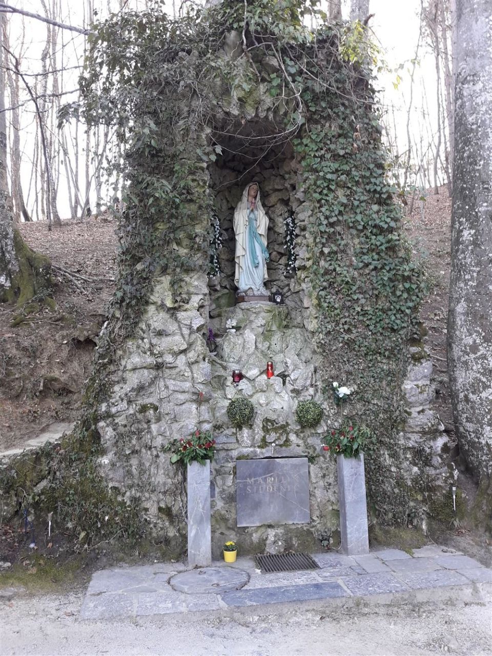
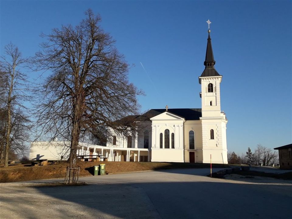
At Zaplaške stezice in the Trebnje municipality there are two circular routes that begin and end at the pilgrimage church and run together at first, parting at the point Pri panju. The shorter one leads to Marijin studenec (528 m, 50 m from the route) and takes in a pond, a forest clearing and a very varied mix of trees; the longer one goes to Bajturn (Zaplaški hrib), at 609 m the highest point in the Trebnje municipality. The trail length is 2.7 km, with about 124 m of ascent and descent between 486 m and 607 m. The church Cerkev Matere božje na Zaplazu is 90 m from the route. The PZS rates it an easy forest educational trail, and Turistično društvo Čatež looks after it. NaHrib calculates about 60 minutes for the full loop.
Frequently asked questions
How long is the trail and how much time do I need?
The trail length is 2.7 km and it is circular. NaHrib calculates about 60 minutes for the full loop.
Where do I park, or can I come by bus?
A car park is about 250 m from the start and the Čatež bus stop 540 m.
What is there along the trail?
Marijin studenec (50 m from the route), the summit of Bajturn (609 m), the highest point in the Trebnje municipality, and the church Cerkev Matere božje na Zaplazu (90 m).
Photos
Difficulty
i
SAC scale from OSM, not an official rating
Easy
- DogNo data
- KidsSuitable
Community reports
i
Unverified. User reports never change the official status.
No reports yet.
Log in Report conditions · Add a photo
Spotted a mistake? An editor checks it before anything changes.
Report incorrect data
Spotted a mistake? An editor checks it before anything changes.