Elevation profile
- Walking time
- 1 h 40 minup · 1 h 20 min down
- Distance
- 3.7 kmOut and back
- Ascent
- 342 m
- Highest point
- 829 m
About this hike
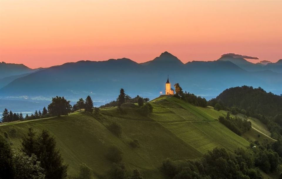
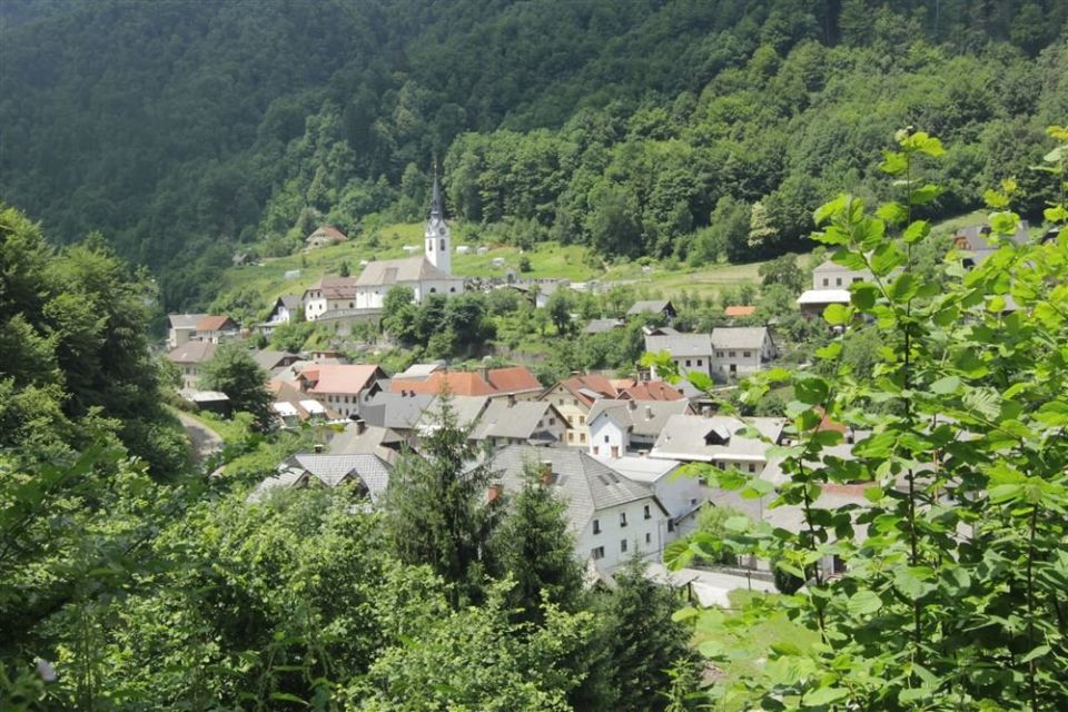
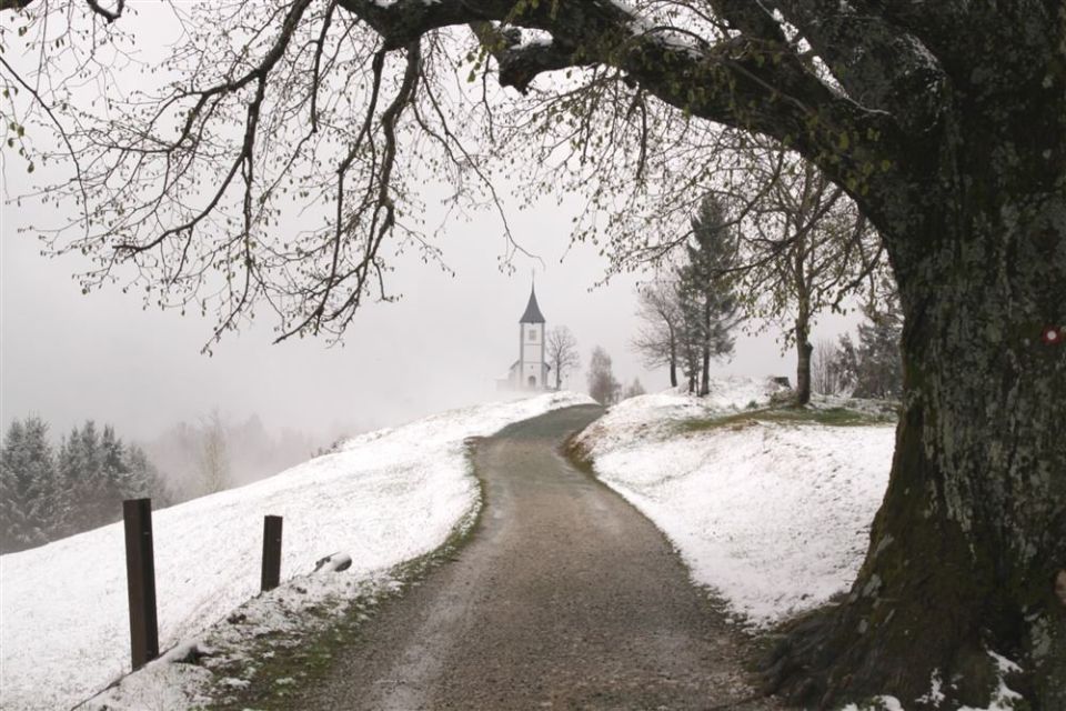
The route is 3.7 km long and not a loop; it has 342 m of ascent and only 23 m of descent, between 502 and 829 m. According to PZS it starts by a small car park in Kropa, opposite the preserved pond of the lower forge, then climbs past the church of Mary Mother of God and through forest to a junction, where you continue towards Jamnik. In Kropa the route passes the NOB memorial (10 m), Klinarjeva hiša (20 m) and the church of St Leonard (70 m); near the top are the summits Barigla (676 m) and Jamnik (831 m). The Modelarsko vzletišče Jamnik viewpoint is 20 m from the path and a twisted spruce 50 m. NaHrib calculates about 100 min uphill and about 80 min downhill. The car park is 100 m from the start and the Kropa / Rad. bus stop 240 m.
Frequently asked questions
How long is the walk from Kropa to Jamnik and how much time do I need?
It is 3.7 km with 342 m of ascent. NaHrib calculates about 100 min uphill and 80 min downhill.
Where does it start and how do I get there?
It starts in Kropa by a small car park. The car park is 100 m from the start and the Kropa / Rad. bus stop 240 m.
What can I see along the way?
In Kropa the NOB memorial, Klinarjeva hiša and the church of St Leonard; higher up the summits Barigla (676 m) and Jamnik (831 m) and the Modelarsko vzletišče Jamnik viewpoint.
How demanding is it?
PZS describes it as an undemanding walking path. Most of the height difference is climbing, 342 m from the start to the top.
Photos
Difficulty
i
SAC scale from OSM, not an official rating
Easy
- DogNo data
- KidsSuitable
Community reports
i
Unverified. User reports never change the official status.
No reports yet.
Log in Report conditions · Add a photo
Spotted a mistake? An editor checks it before anything changes.
Report incorrect data
Spotted a mistake? An editor checks it before anything changes.