Elevation profile
- Walking time
- 2 h 50 mintotal
- Distance
- 7.6 kmLoop
- Ascent
- 338 m
- Highest point
- 710 m
About this hike
The loop is 7.6 km long with 338 m of both ascent and descent, between a low point of 422 m and a high point of 710 m. Izvir Tolminke (674 m) lies 60 m from the path. Planina Srednjica, Planina Polog, Odcep na Prode, Planina pod Osojnico and Žičnica čez vodo are marked, and the boulder at Polog is 10 m from the route. PZS rates it an easy hiking trail, and NaHrib's calculation gives about 2 h 50 min for the circuit. A car park is 120 m from the start, and there are two drinking-water points along the way. PZS lists April to October as the season. Izvir Tolminke is managed by Triglav National Park.
Frequently asked questions
How long is the route and how much time do I need?
It is a 7.6 km loop. NaHrib's calculation gives about 2 h 50 min.
Where do I park?
A car park is 120 m from the start.
What can I see along the route?
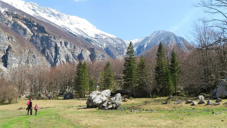
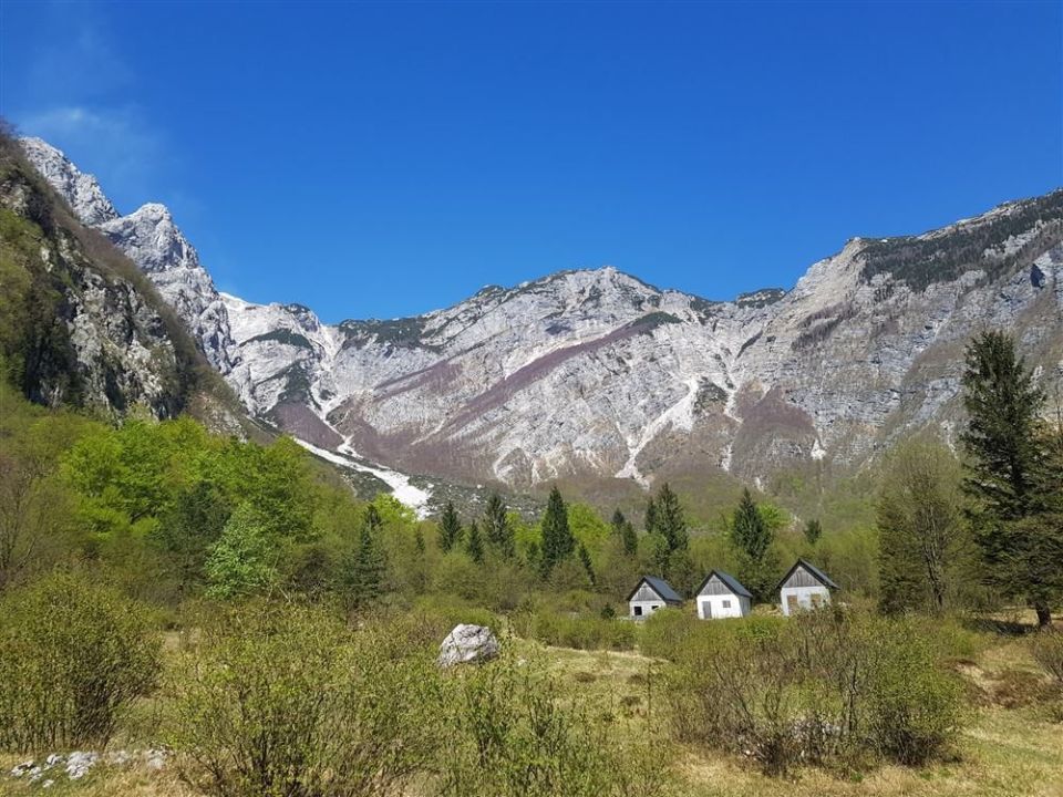
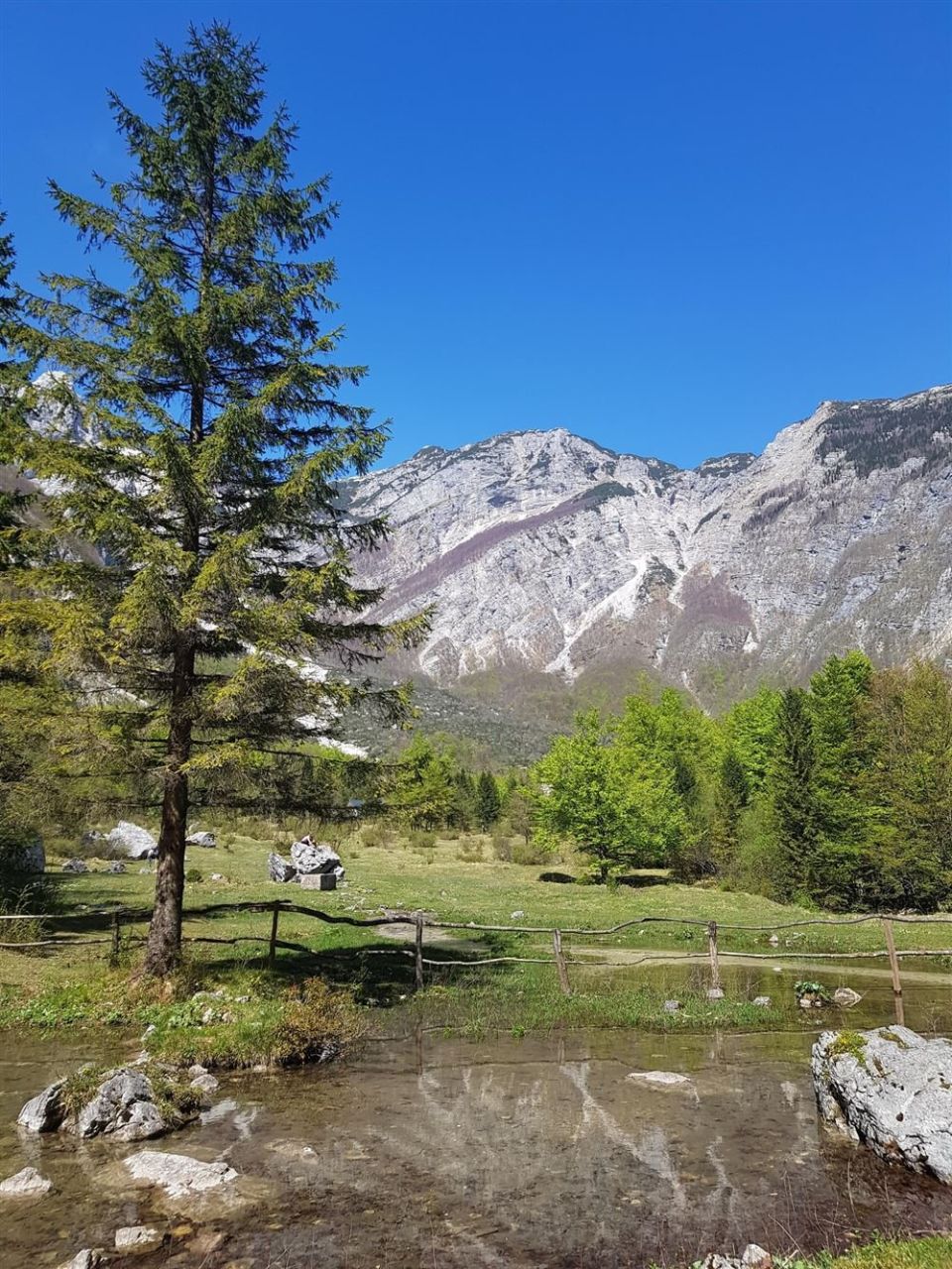
Izvir Tolminke (674 m, 60 m from the path), Planina Polog, Planina Srednjica and Planina pod Osojnico. There are also two drinking-water points.
When should I go, and how demanding is it?
PZS lists April to October as the season. It rates the route an easy hiking trail with 338 m of ascent.
Photos
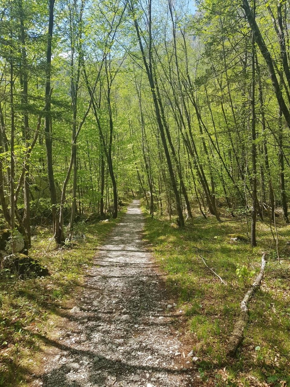
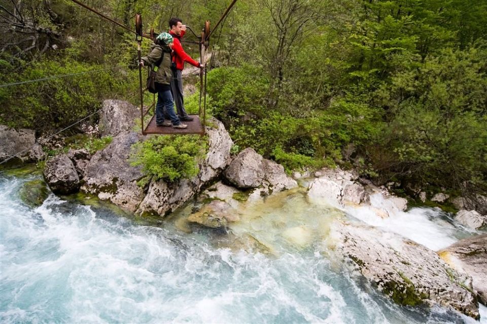
Difficulty
i
SAC scale from OSM, not an official rating
Easy
- DogNo data
- KidsSuitable
Community reports
i
Unverified. User reports never change the official status.
No reports yet.
Log in Report conditions · Add a photo
Spotted a mistake? An editor checks it before anything changes.
Report incorrect data
Spotted a mistake? An editor checks it before anything changes.