Elevation profile
- Walking time
- 4 hup · 3 h 55 min down
- Distance
- 12 kmOne-way stage (A to B)
- Ascent
- 438 m
- Highest point
- 655 m
About this hike
There are 438 m of ascent and 242 m of descent, with the terrain rising from 442 m to 655 m. The first official point is “Muzej na prostem Ravelnik”, about 1600 m in; “Kluže in utrdba Herman” follows at 4500 m and “Soteska Nemčlja” at 7500 m. The Juliana Trail stamp point “STAMP - Možnica, 533 m” is roughly 9000 m in, and “Potok Gorejca in slapovi” at 10600 m. The stage lies in the municipality of Bovec. NaHrib calculates about 4 h towards Log pod Mangartom and 3 h 55 min in the other direction. Along the route there are 11 drinking-water points and three public toilets. A car park is 40 m from the start in Bovec, and the Bovec šola bus stop is 100 m away.
Frequently asked questions
How long does Bovec – Log pod Mangartom take?
The route is 12.2 km. NaHrib calculates about 4 h towards Log pod Mangartom; this is not an official time.
Where do I park, or arrive by bus, in Bovec?
A car park is 40 m from the start, and the Bovec šola bus stop is 100 m away.
Which points lie along the route?
Among others “Muzej na prostem Ravelnik” (about 1600 m), “Kluže in utrdba Herman” (4500 m) and “Soteska Nemčlja” (7500 m).
Where is the stamp on this stage?
“STAMP - Možnica, 533 m” is roughly 9000 m from Bovec.
How many drinking-water points are there?
Yes, 11 drinking-water points and three public toilets are listed along the route.
Photos
-
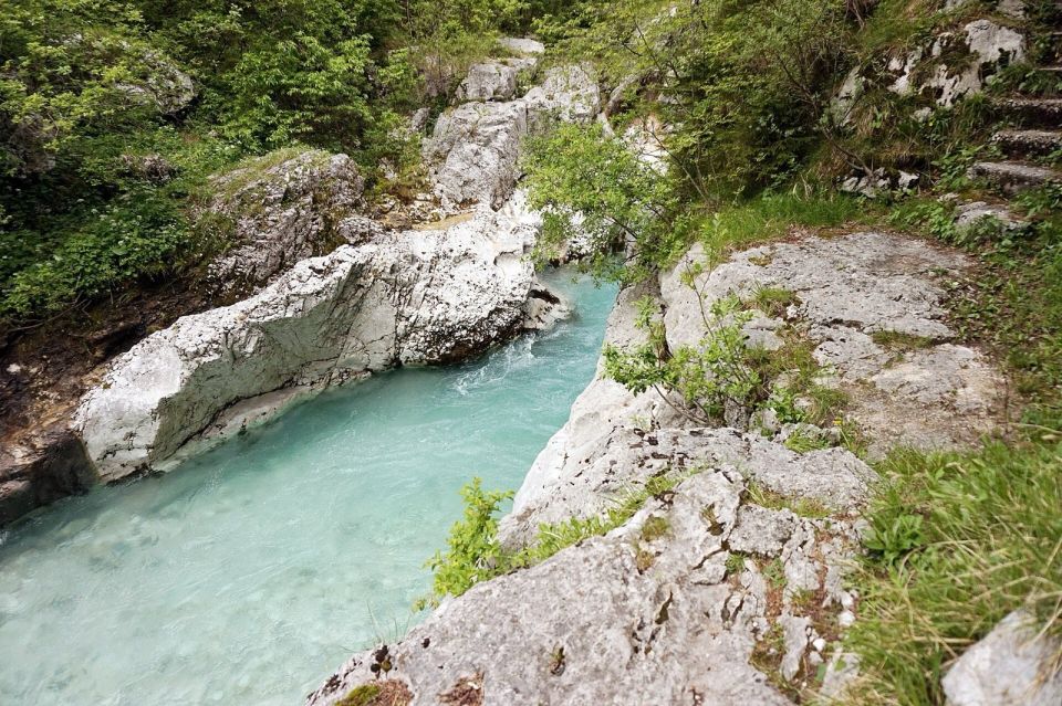
Tiia Monto · Wikimedia Commons
Difficulty
i
SAC scale from OSM, not an official rating
No data
- DogNo data
- KidsNo data
On the way
- Muzej na prostem Ravelnik Attraction · 461 m
- Vojaško pokopališče v Bovcu Attraction · 441 m
- Cerkev sv. Lenarta Attraction · 511 m
- Kluže in utrdba Herman Attraction · 531 m
- Soteska Koritnice Attraction · 534 m
- Soteska Nemčlja Attraction · 648 m
- STAMP - Možnica, 533 m Attraction · 605 m
- Potok Gorejca in slapovi Waterfall · 669 m
- Potok Predelica in slapovi Attraction · 628 m
- Vojaško pokopališče v Logu pod Mangartom Attraction · 642 m
- Center doživetij pod Mangartom Attraction · 656 m
Community reports
i
Unverified. User reports never change the official status.
No reports yet.
Log in Report conditions · Add a photo
Spotted a mistake? An editor checks it before anything changes.
Report incorrect data
Spotted a mistake? An editor checks it before anything changes.