Elevation profile
- Walking time
- 6 h 15 minup · 6 h 25 min down
- Distance
- 16 kmOne-way stage (A to B)
- Ascent
- 739 m
- Highest point
- 591 m
About this hike
The stage is 16.3 km long, with 739 m of ascent and 878 m of descent. The highest point is 591 m and the lowest 166 m. The waterfall lies at 473 m and the church at 183 m. Among the official points is also the Juliana Trail stamp point “STAMP - Senica, 658 m”, about 12500 m in. NaHrib calculates roughly 6 h 15 min towards Most na Soči and 6 h 25 min back towards Grahovo; these are not official times. Five drinking-water points are listed along the route. The stage belongs to the municipality of Tolmin. A car park is 80 m from the start in Grahovo, and Grahovo railway station is 960 m away.
Frequently asked questions
How long from Grahovo to Most na Soči?
The route is 16.3 km. NaHrib calculates about 6 h 15 min in that direction and 6 h 25 min in the other; these are not official times.
Where can I park, or arrive by train, at Grahovo?
A car park is 80 m from the start, and Grahovo railway station is 960 m away.
Where is the Sopota waterfall?
“Slap Sopota” is about 7000 m from the start of the stage, at an elevation of 473 m.
Where is the stamp point on this stage?
“STAMP - Senica, 658 m” is about 12500 m from Grahovo.
Is there drinking water on the way?
Yes, five drinking-water points are listed along the route.
Photos
-
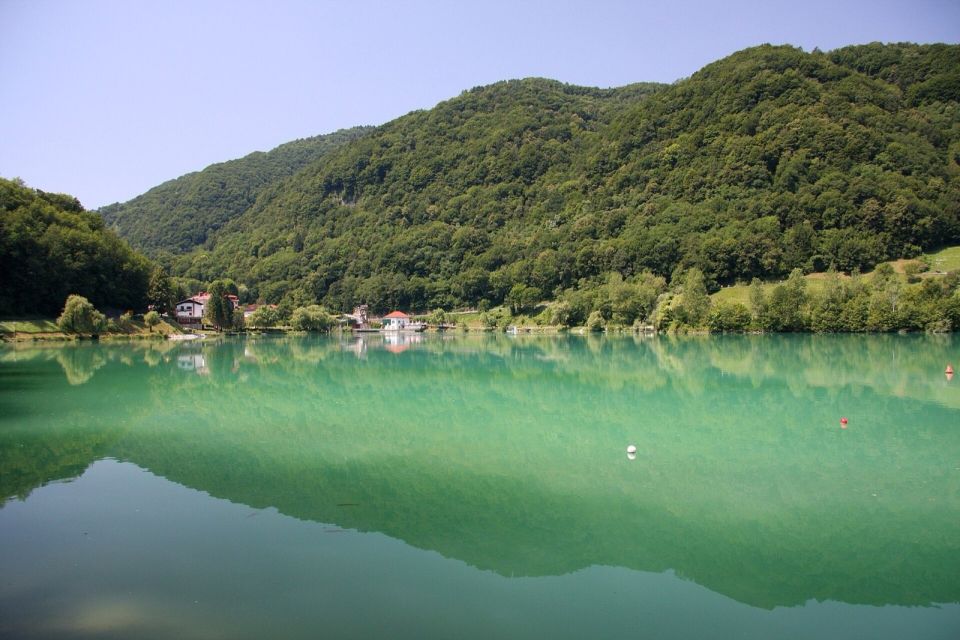
Yerpo · Wikimedia Commons
Difficulty
i
SAC scale from OSM, not an official rating
No data
- DogNo data
- KidsNo data
On the way
- Slap Sopota Waterfall · 473 m
- STAMP - Senica, 658 m Attraction · 578 m
- Cerkev sv. Lucije Attraction · 183 m
Community reports
i
Unverified. User reports never change the official status.
No reports yet.
Log in Report conditions · Add a photo
Spotted a mistake? An editor checks it before anything changes.
Report incorrect data
Spotted a mistake? An editor checks it before anything changes.