Elevation profile
- Walking time
- 2 h 25 minup · 2 h 25 min down
- Distance
- 7.6 kmOne-way stage (A to B)
- Ascent
- 194 m
- Highest point
- 317 m
About this hike
The walk begins beside “Jezero pri Mostu na Soči”, and “Kulturnozgodovinska pot Most na Soči” follows after 400 m. The Juliana Trail stamp point “STAMP - Volčan bridge, 162 m” is roughly 6000 m in, and the finish is in Tolmin, on Trg trgovcev. The lake lies at 168 m and the stamp point at 167 m; the start is in the municipality of Tolmin, and the stage's lowest point is 154 m. NaHrib calculates about 2 h 25 min in either direction, which is not an official time. One drinking-water point is listed along the route. A car park is 20 m from the start, the Most na Soči bus stop 180 m and the railway station 1,520 m.
Frequently asked questions
How long does Most na Soči – Tolmin take?
The route is 7.6 km, and NaHrib calculates about 2 h 25 min in each direction; this is not an official time.
How do I reach the start in Most na Soči?
A car park is 20 m from the start, the Most na Soči bus stop 180 m and the railway station 1,520 m.
What is at the beginning of the stage?
“Jezero pri Mostu na Soči” is at the start, followed after 400 m by “Kulturnozgodovinska pot Most na Soči”.
Where does it end, and where is the stamp?
It ends in Tolmin, on Trg trgovcev. The stamp point “STAMP - Volčan bridge, 162 m” is roughly 6000 m in.
Photos
-
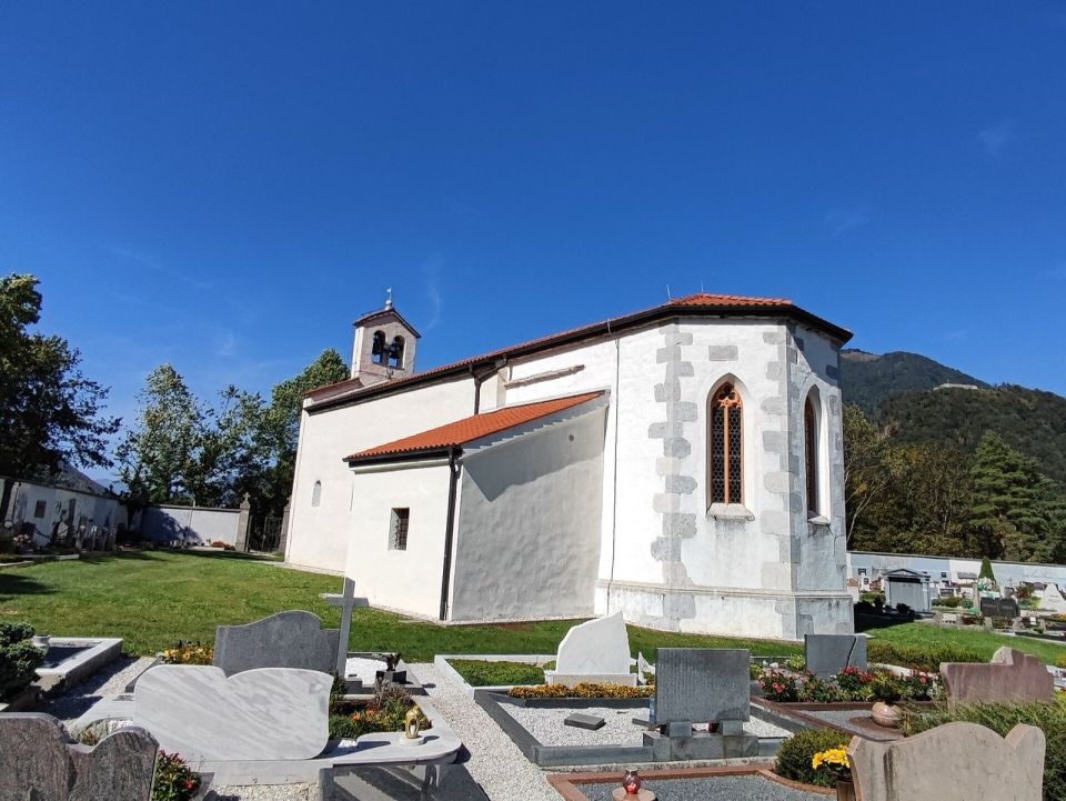
Ajznponar · Wikimedia Commons -
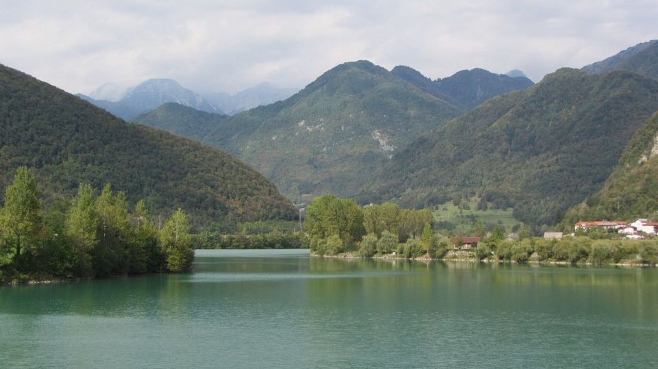
Stephen Colebourne from London, UK · Wikimedia Commons
Difficulty
i
SAC scale from OSM, not an official rating
No data
- DogNo data
- KidsNo data
On the way
- Jezero pri Mostu na Soči Lake · 168 m
- Kulturnozgodovinska pot Most na Soči Attraction · 173 m
- STAMP - Volčan bridge, 162 m Attraction · 167 m
Community reports
i
Unverified. User reports never change the official status.
No reports yet.
Log in Report conditions · Add a photo
Spotted a mistake? An editor checks it before anything changes.
Report incorrect data
Spotted a mistake? An editor checks it before anything changes.