Elevation profile
- Walking time
- 4 h 35 minup · 4 h 35 min down
- Distance
- 16 kmOne-way stage (A to B)
- Ascent
- 192 m
- Highest point
- 243 m
About this hike
The first half-kilometre out of Tolmin packs in several official points: “TIC Tolmin” and the Juliana Trail stamp point “STAMP - Volčan bridge (TIC TOLMIN), 162 m” are at 400 m, and “Tolminski muzej” at 500 m. The second stamp point, “STAMP - Sv. Lovrenc, 267 m”, is roughly 12000 m in. The lowest point is 159 m. NaHrib calculates about 4 h 35 min towards Kobarid, and the same back, which is not an official time. Along the route there are two drinking-water points and three public toilets. A car park is 40 m from the start in Tolmin, and the Tolmin Š 1 bus stop is 510 m away.
Frequently asked questions
How long does it take to walk from Tolmin to Kobarid?
The route is 16.4 km. NaHrib calculates about 4 h 35 min in either direction; this is not an official time.
Where do I park, or arrive by bus, in Tolmin?
A car park is 40 m from the start, and the Tolmin Š 1 bus stop is 510 m away.
Where do I collect stamps on Tolmin – Kobarid?
There are two: “STAMP - Volčan bridge (TIC TOLMIN), 162 m” at 400 m and “STAMP - Sv. Lovrenc, 267 m” roughly 12000 m in.
Are there water and toilets on the way?
The route has two drinking-water points and three public toilets.
Photos
-
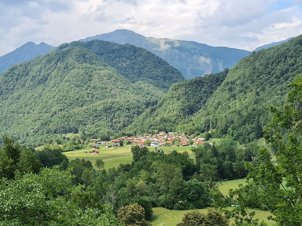
TadejM · Wikimedia Commons -
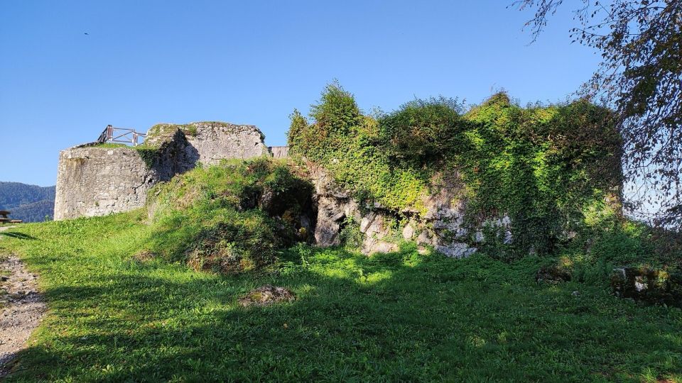
Ajznponar · Wikimedia Commons
Difficulty
i
SAC scale from OSM, not an official rating
No data
- DogNo data
- KidsNo data
On the way
- Tolminski muzej Attraction · 195 m
- TIC Tolmin Attraction · 194 m
- STAMP - Volčan bridge (TIC TOLMIN), 162 m Attraction · 195 m
- STAMP - Sv. Lovrenc, 267 m Attraction · 248 m
Community reports
i
Unverified. User reports never change the official status.
No reports yet.
Log in Report conditions · Add a photo
Spotted a mistake? An editor checks it before anything changes.
Report incorrect data
Spotted a mistake? An editor checks it before anything changes.