Elevation profile
- Walking time
- 3 h 45 mintotal
- Distance
- 12 kmLoop
- Ascent
- 301 m
- Highest point
- 778 m
About this hike
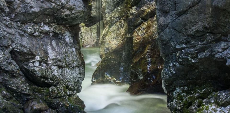
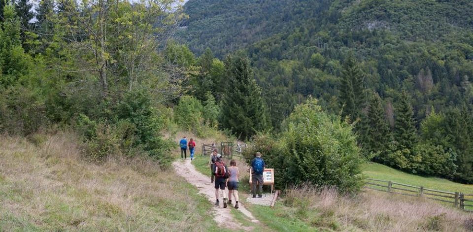
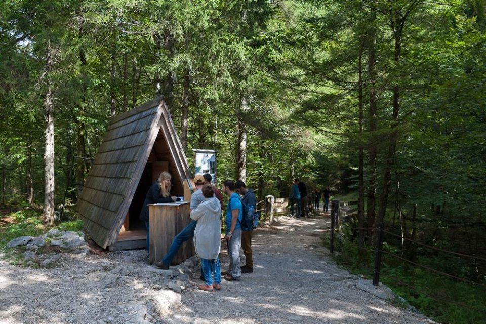
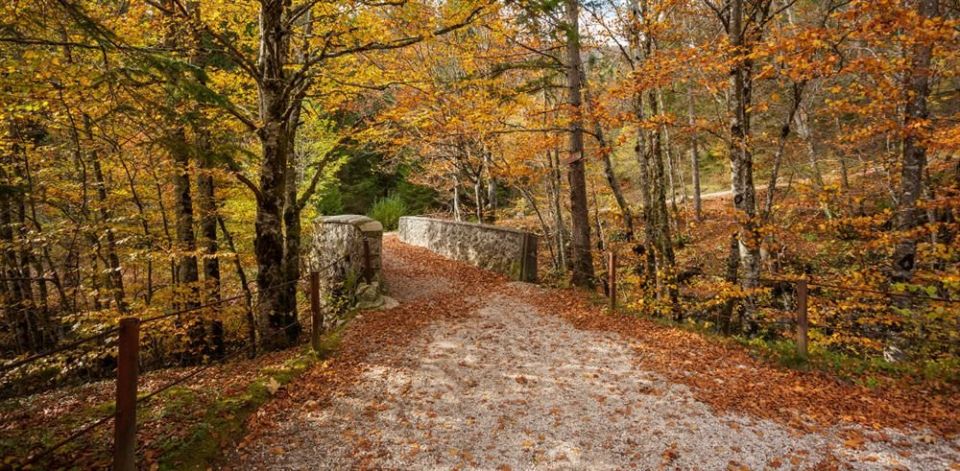
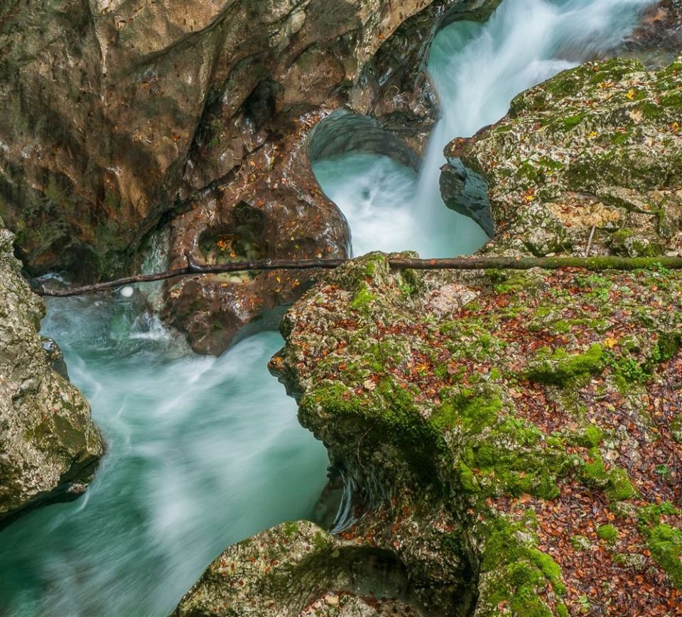
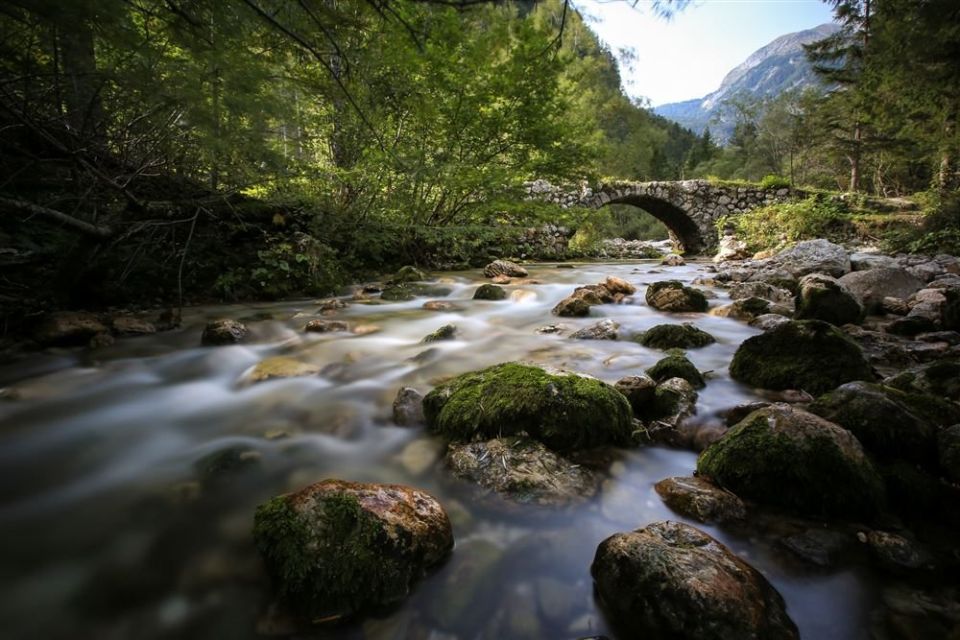
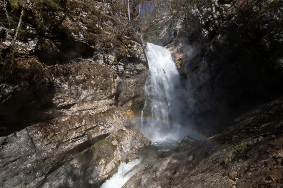
This loop in Bohinj is 11.7 km long with 301 m of ascent, between 542 and 778 m. It starts in Stara Fužina, crosses the Mostnica by a bridge, follows the road along the right bank past Zois's manor and the remains of the ironworks to the Devil's Bridge above the narrow gorge. Marked points include Ukčev most, Beraški most, Slap Mostnice, Češenjski most and Planinska koča na Vojah. The Mostnica waterfall and the Mostnica Gorge viewpoint are 10 m from the route, and the hut is 10 m away. There are three drinking-water points and five toilets. NaHrib's calculation gives about 3 h 45 min; PZS lists the season as April to November. A car park and the Stara Fužina bus stop are both 20 m from the start.
Frequently asked questions
How long is the Mostnica Gorge route and how long does it take?
It is an 11.7 km loop. NaHrib's calculation gives about 3 h 45 min.
What can I see along the way?
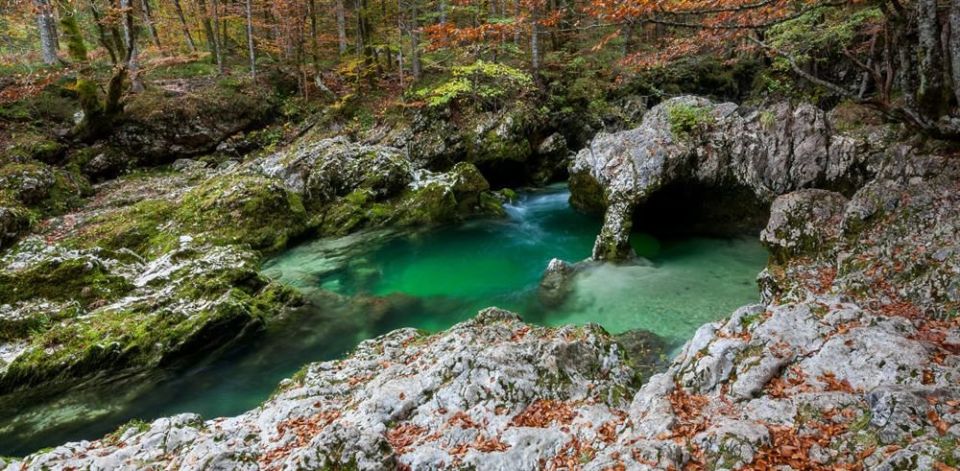
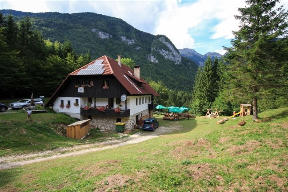
The Mostnica waterfall (10 m from the route), the Mostnica Gorge viewpoint (10 m), Planinska koča na Vojah (10 m), Koča pri slapu Mostnice (30 m) and the bridges Ukčev most, Beraški most and Češenjski most.
When can I visit and who looks after the route?
PZS lists the season as April to November. The route is looked after by Triglav National Park.
Photos
Difficulty
i
SAC scale from OSM, not an official rating
Easy
- DogNo data
- KidsNo data
Community reports
i
Unverified. User reports never change the official status.
No reports yet.
Log in Report conditions · Add a photo
Spotted a mistake? An editor checks it before anything changes.
Report incorrect data
Spotted a mistake? An editor checks it before anything changes.