Elevation profile
- Walking time
- 1 h 10 minup · 1 h 10 min down
- Distance
- 3.9 kmOut and back
- Ascent
- 63 m
- Highest point
- 449 m
About this hike
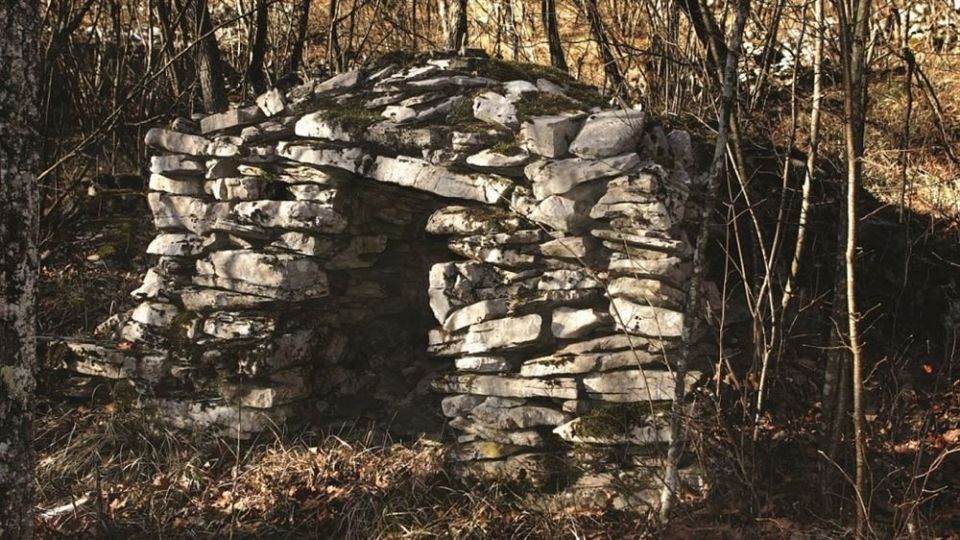
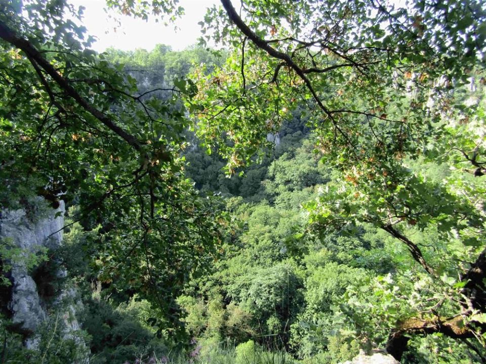
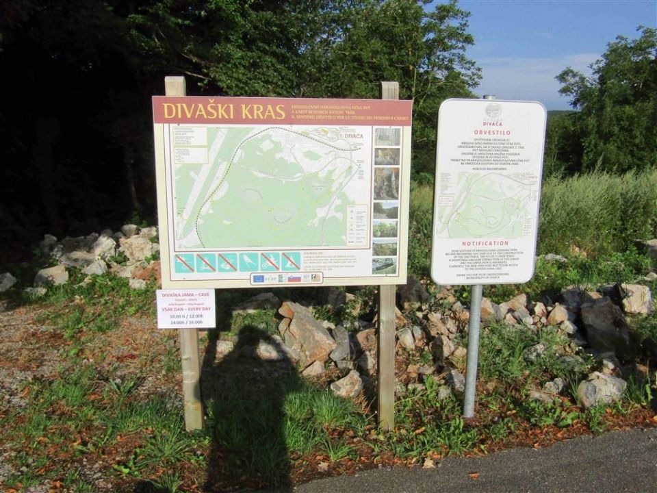
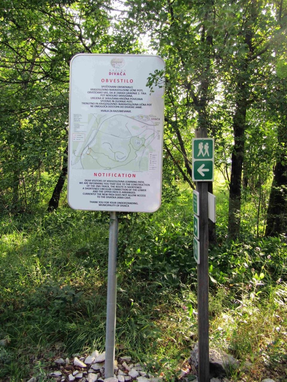
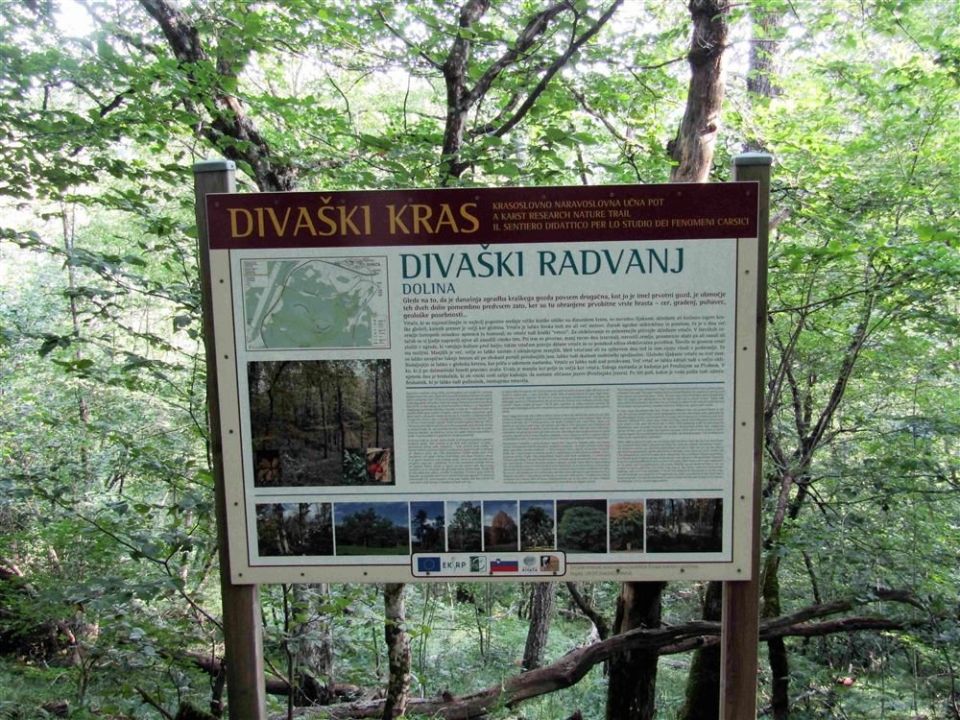
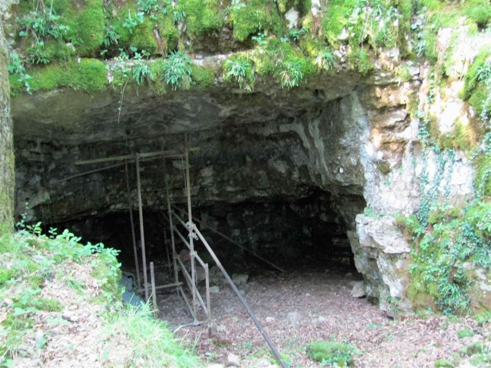
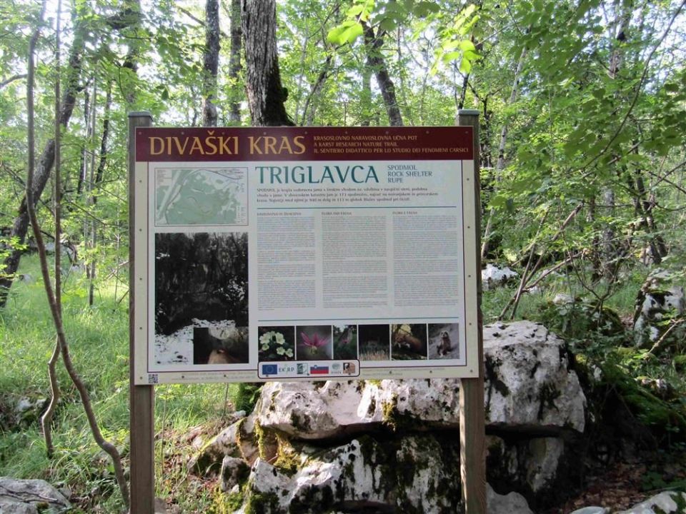
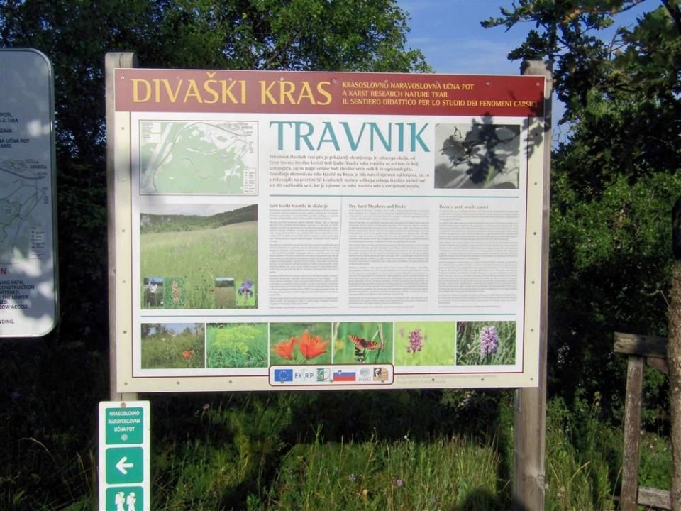
According to PZS, Risnik was formed when the roof of a former cave chamber collapsed; the Divaški kras trail goes around it and leads on to the Divača cave. It measures 3.9 km and is not a circuit, with 63 m of ascent, 62 m of descent and a highest point of 449 m. PZS states that it can be started at several points; the stops include Risnik, the rock shelter Mala Triglavca and a meadow, while information boards explain karst features and tree species. Along the way are Brezno pri Risniku (433 m), Mala Triglavca (436 m), Pečina Triglavca (445 m, 50 m from the route) and the archaeological site Mala Triglavca. NaHrib's calculation gives roughly 1 h 10 min in each direction. The trail is managed by Zavod za gozdove Slovenije.
Frequently asked questions
How long is the trail and how much time do I need?
The trail is 3.9 km long with 63 m of ascent. NaHrib's calculation gives roughly 1 h 10 min in each direction.
Where can I park and how do I get there by train?
Parking is 110 m from the start and Divača railway station is 460 m away. PZS states that the trail can be started at several points.
What is there along the trail?
Brezno pri Risniku, Mala Triglavca and Pečina Triglavca (50 m from the route) lie on the way, and the archaeological site Mala Triglavca is 20 m away. Information boards explain karst features and tree species.
Who looks after the trail?
The trail is managed by Zavod za gozdove Slovenije.
Photos
Difficulty
i
SAC scale from OSM, not an official rating
No data
- DogNo data
- KidsSuitable
Community reports
i
Unverified. User reports never change the official status.
No reports yet.
Log in Report conditions · Add a photo
Spotted a mistake? An editor checks it before anything changes.
Report incorrect data
Spotted a mistake? An editor checks it before anything changes.