Elevation profile
- Walking time
- 1 h 30 mintotal
- Distance
- 4.2 kmLoop
- Ascent
- 179 m
- Highest point
- 917 m
About this hike
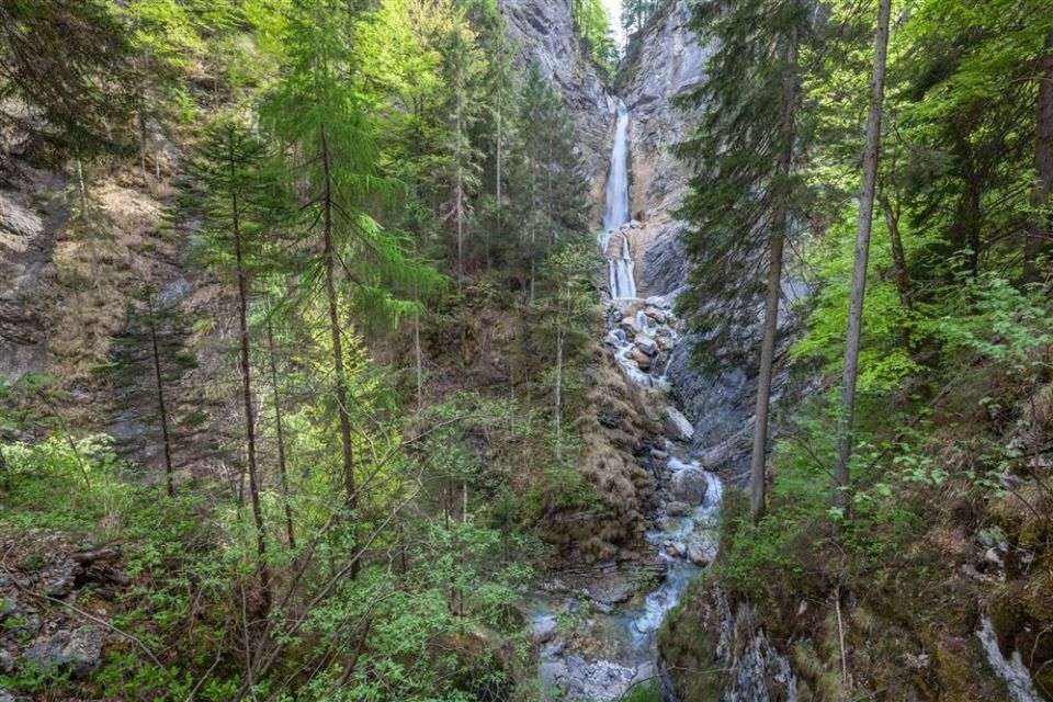
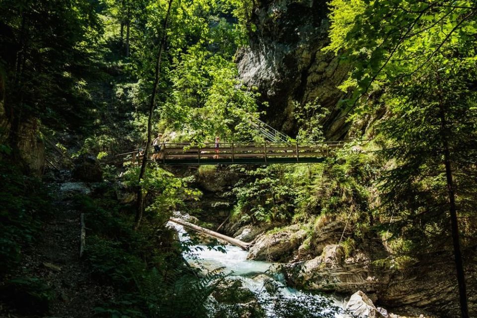
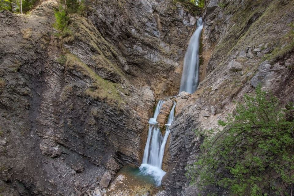
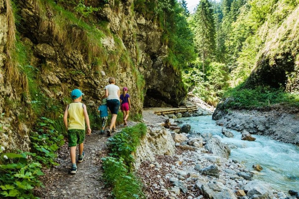
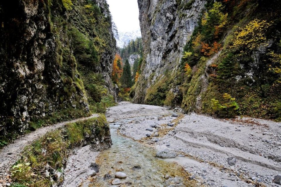
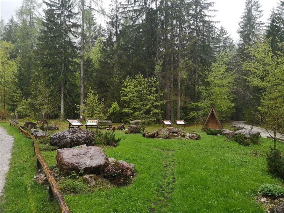
The loop is 4.2 km long with 179 m of ascent and 175 m of descent, between a low point of 747 m and a high point of 917 m. It begins at the crossing with the cycle path in Gozd Martuljek, where a national park information board stands, and then reaches the Martuljek stream before entering the Martuljek gorge, which is exposed to falling rocks; passing through it is at your own risk. Spodnji Martuljkov slap (833 m) lies 40 m from the route and Lipovčeva koča (920 m) 100 m. PZS calls it an easy path with steeper sections, and NaHrib's calculation gives about 1 h 30 min. PZS lists May to September as the season. The route is managed by Triglav National Park. The gorge is exposed to falling rocks, and passing through it is at your own risk.
Frequently asked questions
How long is the route and how much time do I need?
It is a 4.2 km loop. NaHrib's calculation gives about 1 h 30 min.
Where do I park, and is there public transport?
A car park is 120 m from the start; the bus stop Gozd Martuljek Zgornje Rute is 410 m away.
What can I see along the route?
Spodnji Martuljkov slap (40 m from the route), Lipovčeva koča (100 m) and Spomenik Miranu Cizlju (80 m). There are park information boards at the start and a drinking-water point.
When should I go, and how demanding is it?
PZS lists May to September as the season. It is an easy path with steeper sections; the gorge is exposed to falling rocks and passage is at your own risk.
Photos
Difficulty
i
SAC scale from OSM, not an official rating
Moderate
- DogNo data
- KidsNo data
Community reports
i
Unverified. User reports never change the official status.
No reports yet.
Log in Report conditions · Add a photo
Spotted a mistake? An editor checks it before anything changes.
Report incorrect data
Spotted a mistake? An editor checks it before anything changes.