Elevation profile
- Walking time
- 2 h 25 mintotal
- Distance
- 7.4 kmLoop
- Ascent
- 205 m
- Highest point
- 1,317 m
About this hike
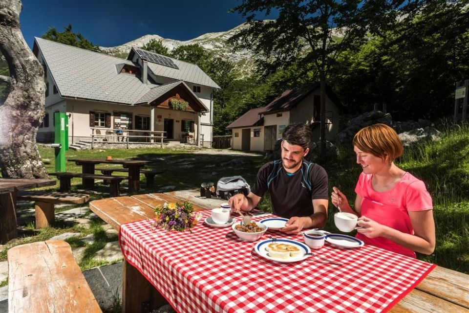
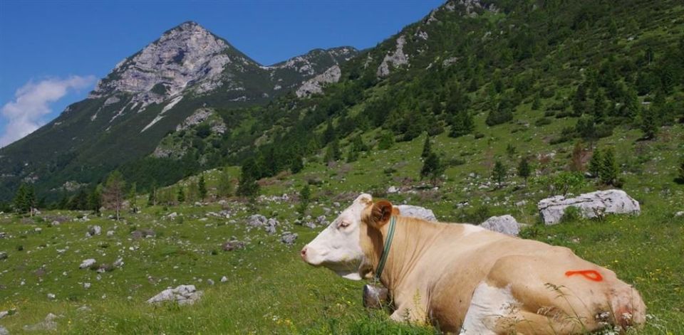
The route begins at the car park before the Podkuk (Kuk) alp and follows a gravel road to Podkuk, where cattle graze in summer and cheese and other dairy products can be bought. Past the stables and cheese dairy the road starts to climb gently; at Močila a path to Žabijski Kuk branches off to the right, while this route continues through forest, almost flat, to the Razor alp. The loop is 7.4 km, with 205 m of ascent and 207 m of descent between 1,139 m and 1,317 m. Koča na planini Razor is 10 m from the route, the small lake Kal (1,302 m) 130 m and the summit of Vrh nad Sopotom (1,249 m) 120 m. The PZS describes it as an easy hiking trail and gives the season as April to November; PD Tolmin manages it. NaHrib calculates about 145 minutes for the full loop.
Frequently asked questions
How long is the route to the Razor alp and how much time do I need?
The route is 7.4 km and circular. NaHrib calculates about 145 minutes for the full loop.
Where does it start and where do I park?
It starts at the car park before the Podkuk alp; the car park is about 20 m from the start.
What is there along the route?
The Podkuk alp, where cattle graze in summer and cheese can be bought, Koča na planini Razor (10 m from the route) and the small lake Kal (130 m).
When should I visit?
The PZS gives the season as April to November. The route is managed by PD Tolmin.
Photos
Difficulty
i
SAC scale from OSM, not an official rating
Easy
- DogNo data
- KidsSuitable
Community reports
i
Unverified. User reports never change the official status.
No reports yet.
Log in Report conditions · Add a photo
Spotted a mistake? An editor checks it before anything changes.
Report incorrect data
Spotted a mistake? An editor checks it before anything changes.