Elevation profile
- Walking time
- 40 mintotal
- Distance
- 1.8 kmLoop
- Ascent
- 94 m
- Highest point
- 525 m
About this hike
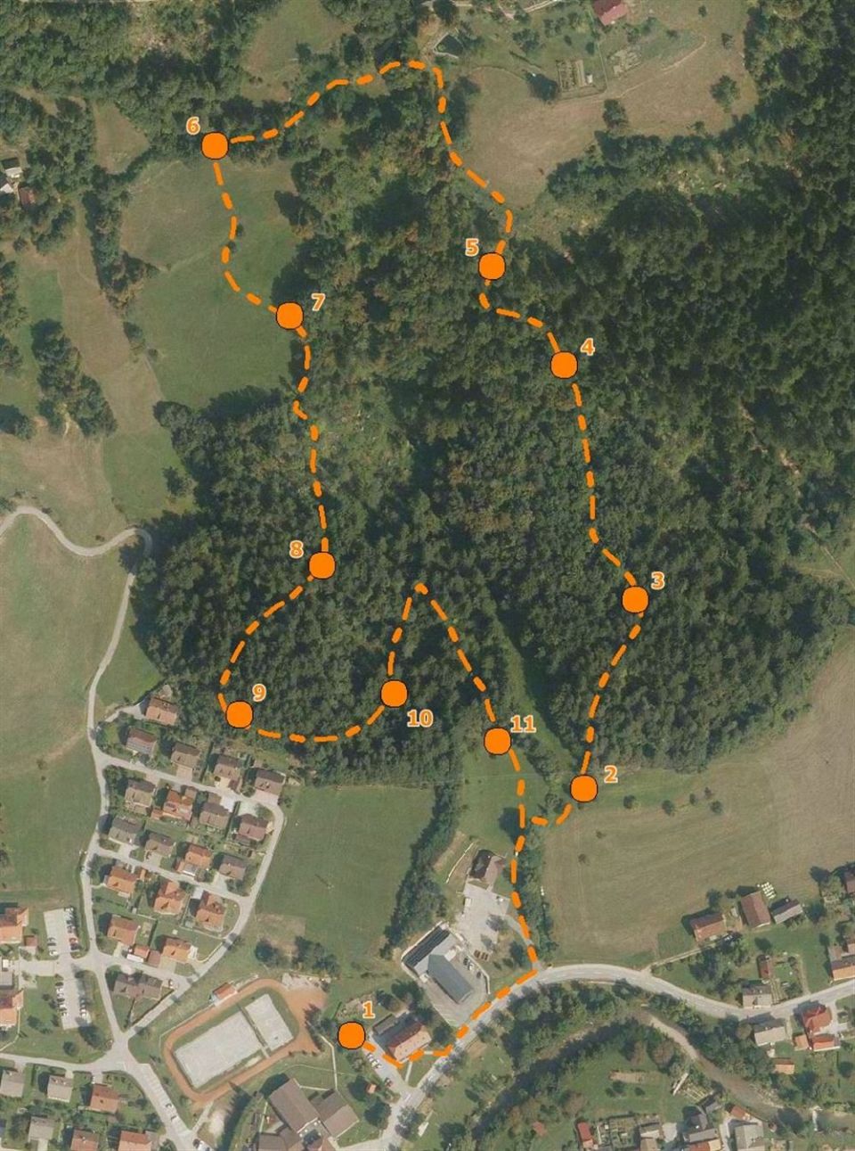
The trail is a 1.8 km loop with 94 m of ascent and descent. Its lowest point is at 429 m and its highest at 525 m. The stops are numbered Tičjak 1 to Tičjak 14. According to PZS, the trail explains the general and conservation importance of forests, while additional panels at the stops present prehistoric sanctuaries, the tičnice. It runs through an area that was once part of a hillfort community. The Slovenia Forest Service looks after it, and PZS rates it as easy, adding that part of the path stays very muddy for a long time after rain. NaHrib calculates about 40 min for the full loop. The car park is 100 m from the start. After rain expect mud that lingers.
Frequently asked questions
How long is the Tičjak nature trail and how much time do I need?
It is a 1.8 km loop with 94 m of ascent. NaHrib calculates about 40 min for the full loop.
What does the trail present?
The stops Tičjak 1 to Tičjak 14 explain the importance of forests, and additional panels present prehistoric sanctuaries, the tičnice.
Where do I park and how demanding is it?
The car park is 100 m from the start. PZS rates it as easy and warns that part of the path is very muddy for a long time after rain.
Photos
Difficulty
i
SAC scale from OSM, not an official rating
Easy
- DogNo data
- KidsSuitable
Community reports
i
Unverified. User reports never change the official status.
No reports yet.
Log in Report conditions · Add a photo
Spotted a mistake? An editor checks it before anything changes.
Report incorrect data
Spotted a mistake? An editor checks it before anything changes.