Elevation profile
- Walking time
- 1 h 35 minup · 1 h 35 min down
- Distance
- 4.5 kmOut and back
- Ascent
- 228 m
- Highest point
- 875 m
About this hike
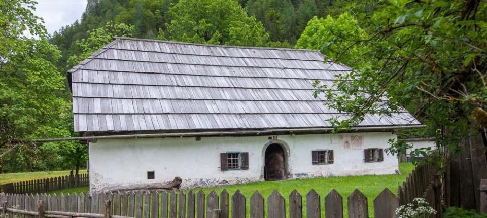
The path is 4.5 km long and not a loop. The ascent is 228 m and the descent 111 m, with the lowest point at 656 m and the highest at 875 m. It first follows the Triglavska Bistrica trail, then turns towards the lake Kreda above Mojstrana (712 m, 20 m from the path), where the description places the first and highest climb, and continues to the road into the Radovna valley. The destination is Pocarjeva domačija, an ethnological museum in Zgornja Radovna. Kosmačev preval (845 m) is 10 m from the route. PZS rates it an easy tourist trail, and NaHrib's calculation gives about 95 min in each direction. A car park is 20 m from the start and the Slovenski planinski muzej bus stop 10 m. The path is managed by Triglav National Park.
Frequently asked questions
How long is the path and how much time do I need?
The path is 4.5 km long. NaHrib's calculation gives about 95 min in each direction.
Where can I park, and is there public transport?
A car park is 20 m from the start and the Slovenski planinski muzej bus stop is 10 m away.
What is there along the path?
The lake Kreda (20 m from the path), Kosmačev preval (845 m) and Pocarjeva domačija, an ethnological museum in Zgornja Radovna.
How demanding is it?
PZS rates it an easy tourist trail. The ascent is 228 m and the highest point is at 875 m.
Photos
Difficulty
i
SAC scale from OSM, not an official rating
Easy
- DogNo data
- KidsSuitable
Community reports
i
Unverified. User reports never change the official status.
No reports yet.
Log in Report conditions · Add a photo
Spotted a mistake? An editor checks it before anything changes.
Report incorrect data
Spotted a mistake? An editor checks it before anything changes.