Elevation profile
- Walking time
- 2 h 55 mintotal
- Distance
- 11 kmLoop
- Ascent
- 23 m
- Highest point
- 541 m
About this hike
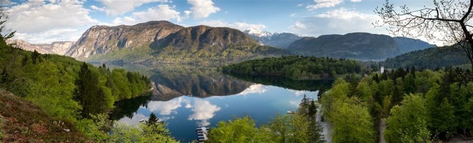
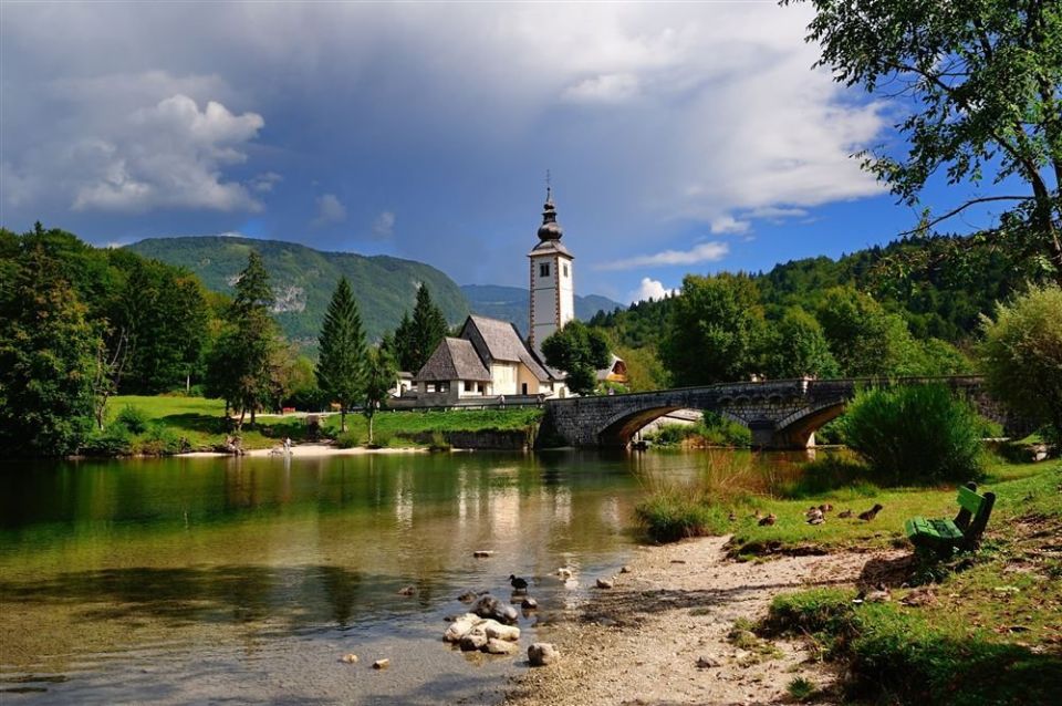
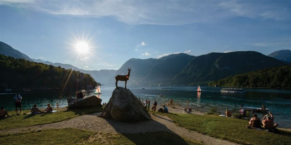
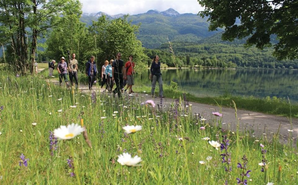
The walk around Lake Bohinj is a loop of 11.3 km, and the altitude varies only between 527 m and 541 m; the ascent is 23 m and the descent 26 m. Part of it follows a gravel footpath on the southern shore. The named points include Ribčev Laz, Sv. Duh, Ukanc (Zlatorog), Ribogojnica and Sveti Janez. The viewpoints are Most čez Savico (10 m from the trail) and Bohinjsko jezero (20 m). Along the way there are 4 drinking-water points and 11 toilets. PZS classes it as an easy walking trail; by NaHrib's calculation it takes about 2 h 55 min. The car park Ribčev Laz – pred pošto is 50 m from the start and the Bohinj jezero bus stop 40 m. PZS lists March to November as the season.
Frequently asked questions
How long is the trail and how much time do I need?
It is a loop of 11.3 km. By NaHrib's calculation the loop takes about 2 h 55 min.
Where do I park or take the bus?
The car park Ribčev Laz – pred pošto is about 50 m from the start and the Bohinj jezero bus stop 40 m.
What is there along the way?
The viewpoints Most čez Savico (10 m from the route) and Bohinjsko jezero (20 m), plus 4 drinking-water points and 11 toilets.
When is the best time to visit?
PZS lists March to November as the season. It classes the trail as an easy walking trail.
Photos
Difficulty
i
SAC scale from OSM, not an official rating
Easy
- DogNo data
- KidsNo data
Community reports
i
Unverified. User reports never change the official status.
No reports yet.
Log in Report conditions · Add a photo
Spotted a mistake? An editor checks it before anything changes.
Report incorrect data
Spotted a mistake? An editor checks it before anything changes.