Elevation profile
- Walking time
- 25 minup · 25 min down
- Distance
- 1.3 kmOut and back
- Ascent
- 25 m
- Highest point
- 530 m
About this hike
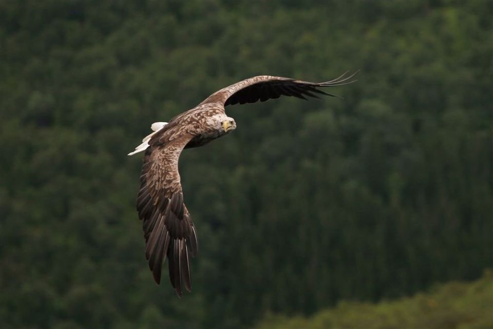
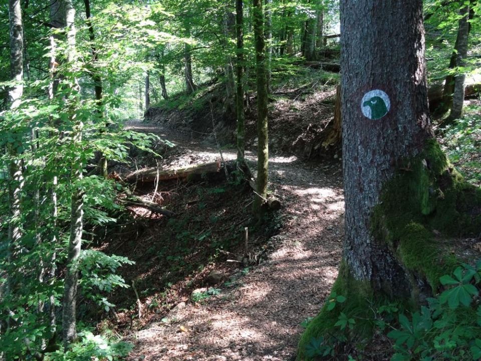
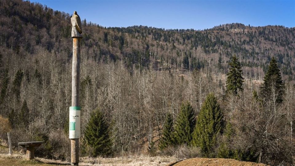
The Orlova pot in Kočevska Reka (municipality of Kočevje) is 1.3 km long and marked with an eagle's head. It is not a loop: it starts and ends in different places, with 35 m of descent and 25 m of ascent, and its highest point is at 530 m. According to map data, the whole route follows a footpath. Zavod Kočevsko reports bird-watching hides by the lake, and maPZS names Zavod za gozdove Slovenije as the manager of the route. NaHrib's calculation gives about 25 min one way and the same back. The car park is 500 m from the start.
Frequently asked questions
How long is the route and how much time do I need?
The route is 1.3 km long. NaHrib calculates about 25 min one way and the same back.
Where do I park?
The car park is 500 m from the start.
What is along the route?
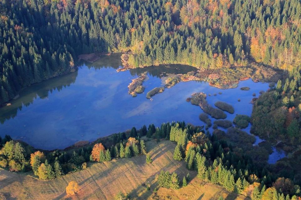
Zavod Kočevsko reports bird-watching hides by Lake Reško. The route is marked with an eagle's head.
Photos
Difficulty
i
SAC scale from OSM, not an official rating
No data
- DogNo data
- KidsSuitable
Community reports
i
Unverified. User reports never change the official status.
No reports yet.
Log in Report conditions · Add a photo
Spotted a mistake? An editor checks it before anything changes.
Report incorrect data
Spotted a mistake? An editor checks it before anything changes.