Elevation profile
- Walking time
- 2 h 25 mintotal
- Distance
- 8.6 kmLoop
- Ascent
- 93 m
- Highest point
- 493 m
About this hike
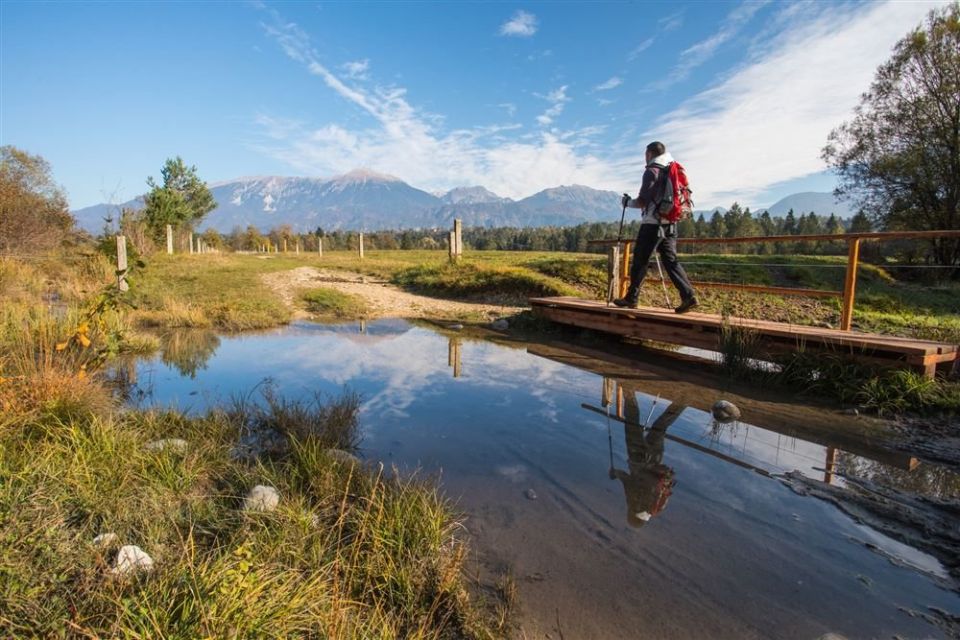
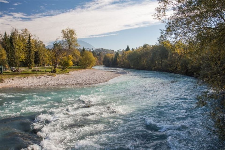
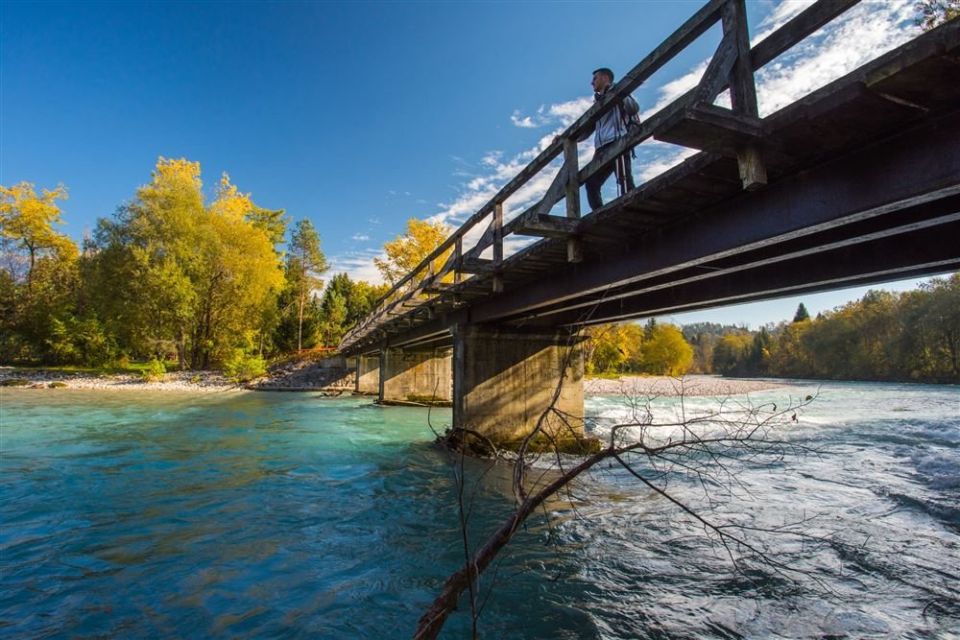
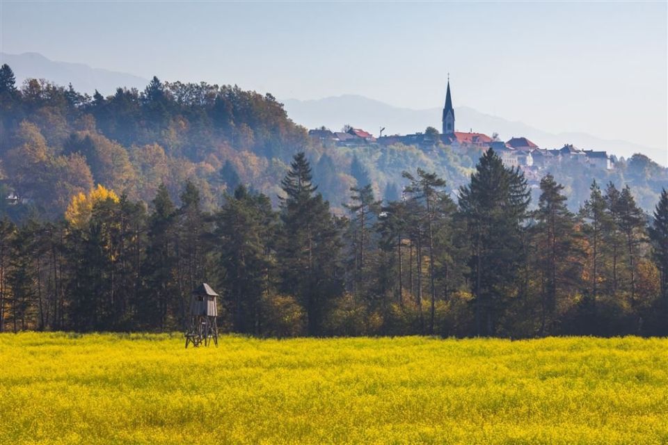
Pot treh mostov is a loop of 8.6 km with about 93 m of ascent and 95 m of descent, between 411 and 493 m above sea level. According to PZS you begin at a roundabout just before the former gates of medieval Radovljica, cross the park towards the monument to Anton Tomaž Linhart and pass Art Nouveau villas. Houses on Linhartov trg and Gorenjska cesta lie along the route, as do several lime trees, among them the five limes and a horse chestnut in front of the church of St Peter. Šobčev Bajer is 100 m off the route. Triglav National Park looks after the trail, and NaHrib records three drinking-water points and three toilets along it. TIC Radovljica, the tourist information centre, is one of the named points on the route.
Frequently asked questions
Where does Pot treh mostov start and how do I get there?
It starts at a roundabout just before the former gates of Radovljica. A car park is 40 m away, Radovljica railway station 120 m and the bus stop 270 m.
How long is the route?
It is an 8.6 km loop with 93 m of ascent. PZS classes it as an easy walking trail.
What can I see along the way?
The Anton Tomaž Linhart monument, Art Nouveau villas, several lime trees and a horse chestnut on Gorenjska cesta, and TIC Radovljica. Šobčev Bajer is 100 m from the route.
Is there drinking water and are there toilets?
Yes, NaHrib records three drinking-water points and three toilets along the route.
Photos
Difficulty
i
SAC scale from OSM, not an official rating
Easy
- DogNo data
- KidsSuitable
Community reports
i
Unverified. User reports never change the official status.
No reports yet.
Log in Report conditions · Add a photo
Spotted a mistake? An editor checks it before anything changes.
Report incorrect data
Spotted a mistake? An editor checks it before anything changes.