Elevation profile
- Walking time
- 3 h 25 minup · 3 h 10 min down
- Distance
- 11 kmOut and back
- Ascent
- 395 m
- Highest point
- 1,028 m
About this hike
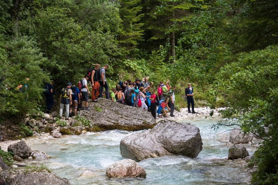
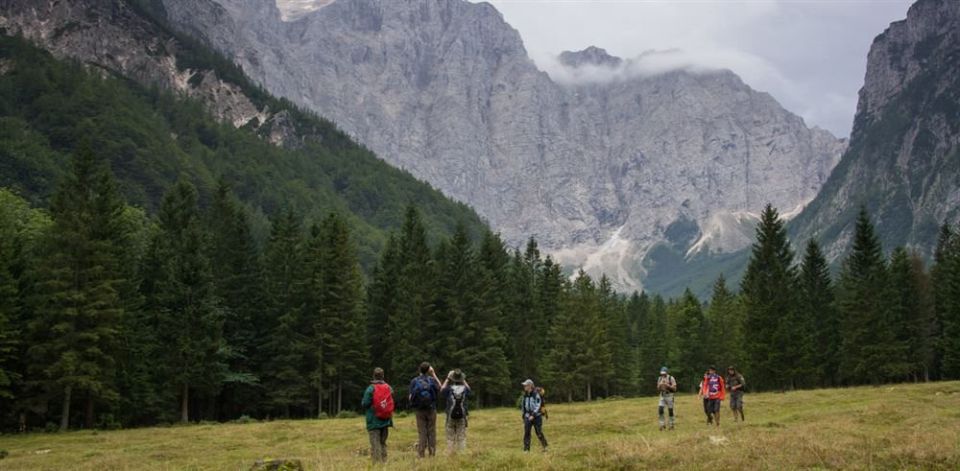
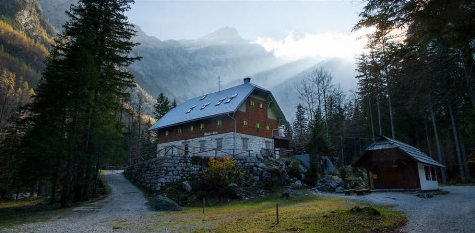
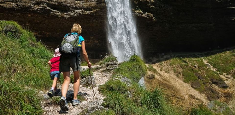
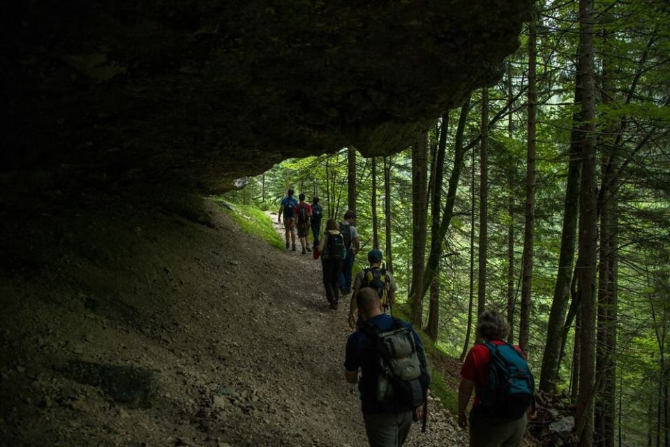
The path is technically undemanding but long: 11.0 km, 395 m of ascent and 29 m of descent, between 656 m and 1,028 m. It follows the Triglavska Bistrica past the lake Kreda (30 m from the path, 857 m) and Koča pri Peričniku (10 m away); in the Vrata area Aljažev dom v Vratih, Šlajmerjev dom v Vratih and the chapel of Sts Cyril and Methodius lie by the route. NaHrib's calculation gives about 205 min up and about 190 min back. There are two public toilets and one drinking-water point on the way. Triglav National Park looks after the path, and the Alpine Association of Slovenia lists June to September.
Frequently asked questions
How long is the path and how much time do I need?
The path is 11.0 km one way. NaHrib's calculation gives about 205 min up and about 190 min back.
Where does it start and how do I get there?
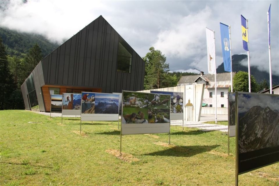
It starts at the Slovenian Alpine Museum in Mojstrana. The Slovenski planinski muzej bus stop is 10 m from the start and parking 20 m.
What can I see along the way?
Lake Kreda, Koča pri Peričniku, Aljažev dom v Vratih and Šlajmerjev dom v Vratih lie by the route. There are two public toilets on the way.
When is the best time to go?
The Alpine Association of Slovenia lists June to September. Triglav National Park looks after the path.
Photos
Difficulty
i
SAC scale from OSM, not an official rating
Easy
- DogNo data
- KidsNo data
Community reports
i
Unverified. User reports never change the official status.
No reports yet.
Log in Report conditions · Add a photo
Spotted a mistake? An editor checks it before anything changes.
Report incorrect data
Spotted a mistake? An editor checks it before anything changes.