Elevation profile
- Walking time
- 25 mintotal
- Distance
- 1.6 kmLoop
- Ascent
- 5 m
- Highest point
- 336 m
About this hike
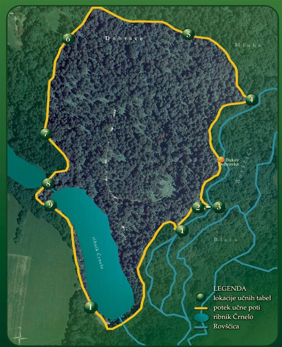
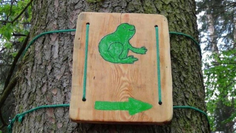
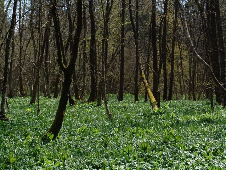
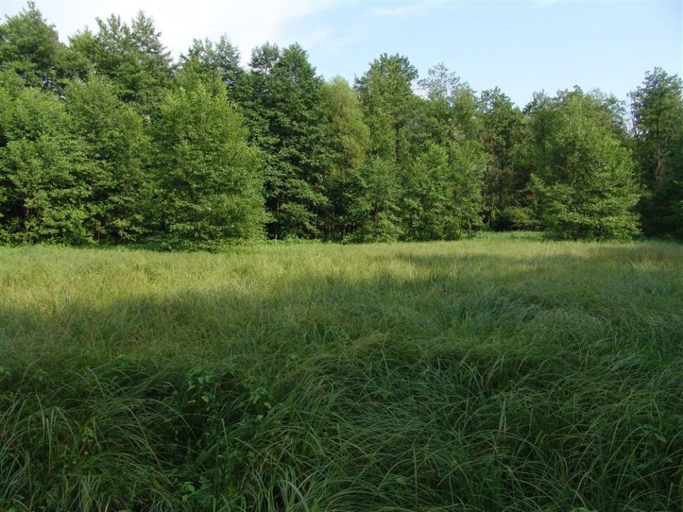
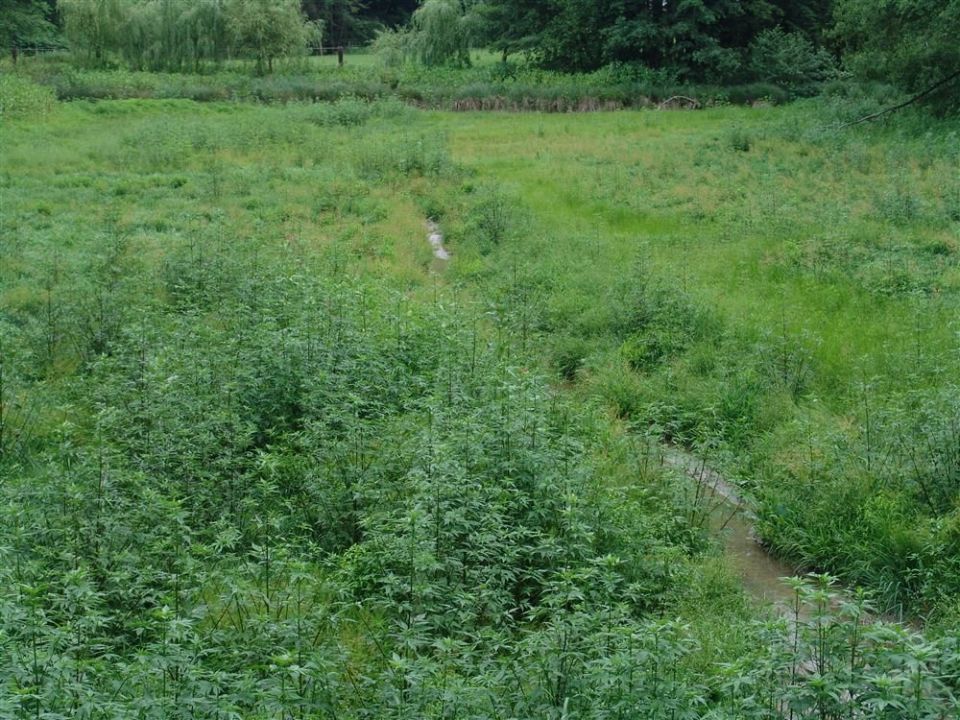
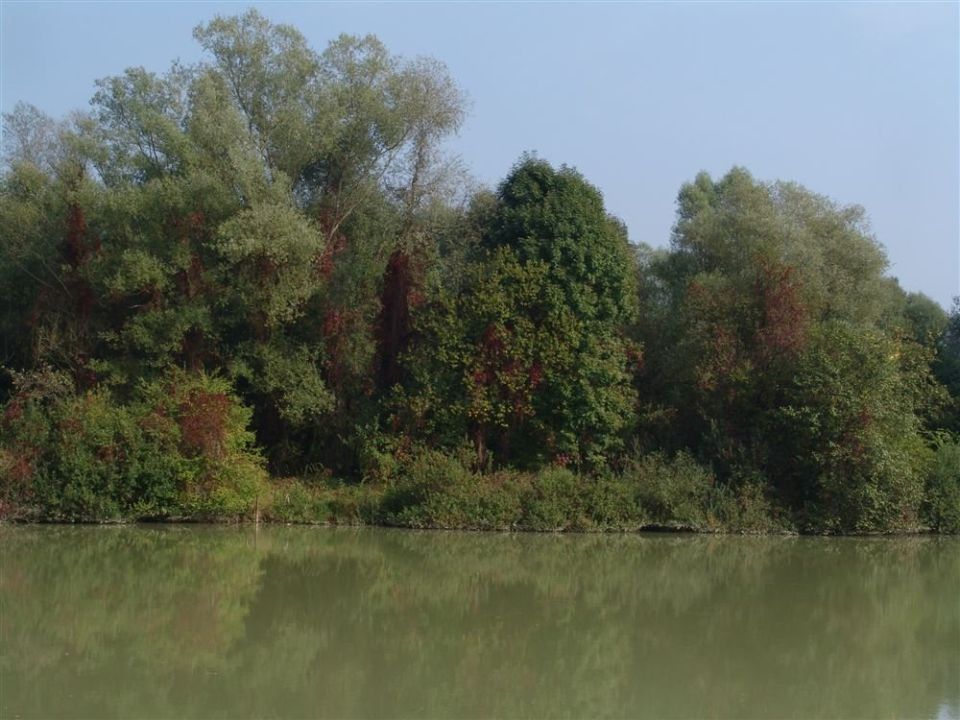
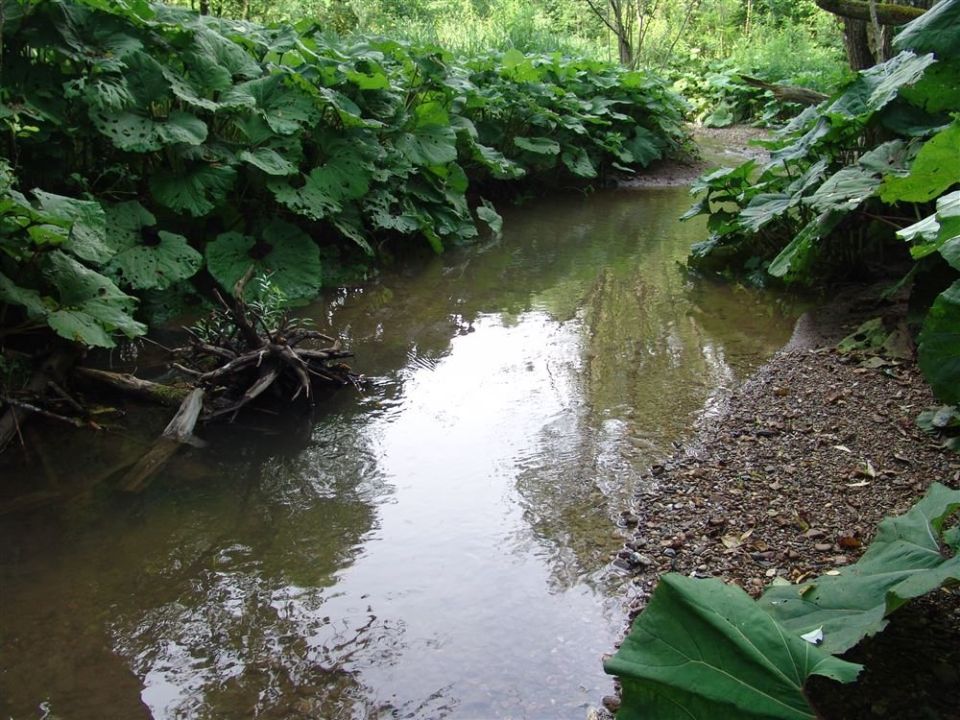
According to the municipal newsletter Domžalec, Domžale municipality officially opened the path on 8 May 2013 by the pond Črnelo near Radomlje. Along it are 10 stops with boards on plants, animals and trees; a 2013 presentation mentions a flooded black alder forest where observers counted at least 60 bird species, and a beech about 100 years old. The loop has 5 m of ascent and 5 m of descent, and its highest point is at 336 m. The pond Črnelo (325 m) is 30 m from the route. A car park is 300 m from the start and Jarše-Mengeš railway station 2,420 m.
Frequently asked questions
How many stops does the Blata–Mlake path have, and where does it run?
According to Domžalec it has 10 stops and follows a forest road and paths through the Rovščica wetland and around the pond Črnelo. The loop is 1.6 km long.
When did the path open?
According to the municipal newsletter Domžalec, Domžale municipality officially opened it on 8 May 2013 by the pond Črnelo near Radomlje.
Where do I park, or how do I arrive by train?
A car park is 300 m from the start and Jarše-Mengeš railway station 2,420 m.
Photos
Difficulty
i
SAC scale from OSM, not an official rating
No data
- DogNo data
- KidsSuitable
Community reports
i
Unverified. User reports never change the official status.
No reports yet.
Log in Report conditions · Add a photo
Spotted a mistake? An editor checks it before anything changes.
Report incorrect data
Spotted a mistake? An editor checks it before anything changes.