Elevation profile
- Walking time
- 55 mintotal
- Distance
- 2.0 kmLoop
- Ascent
- 126 m
- Highest point
- 1,186 m
About this hike
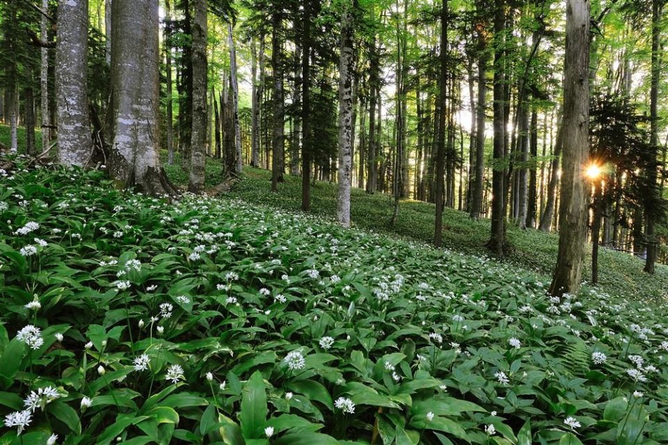
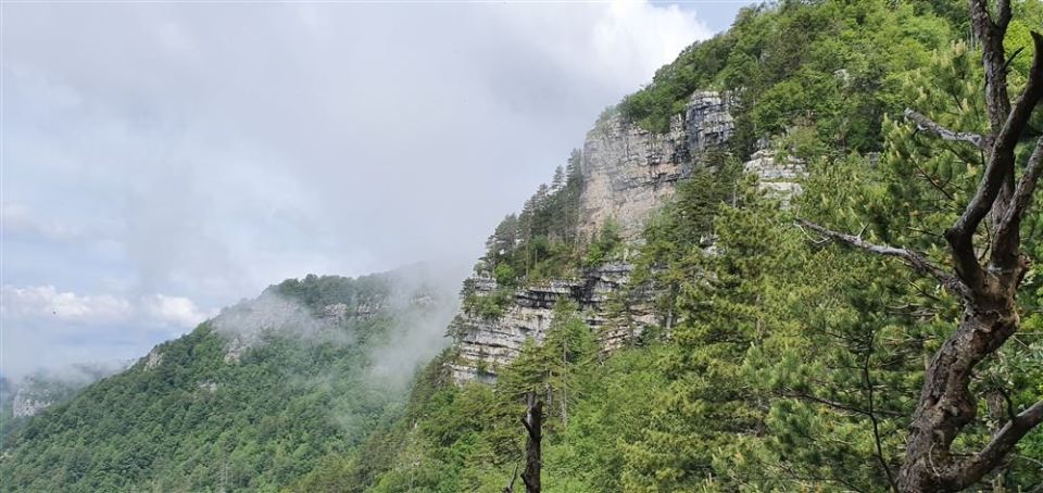
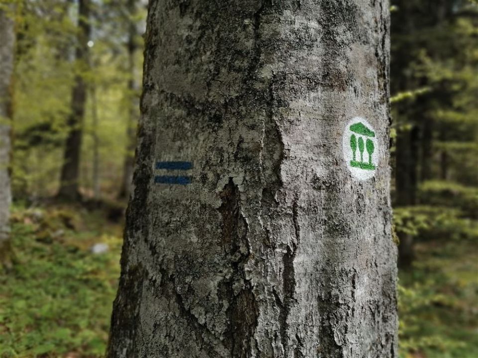
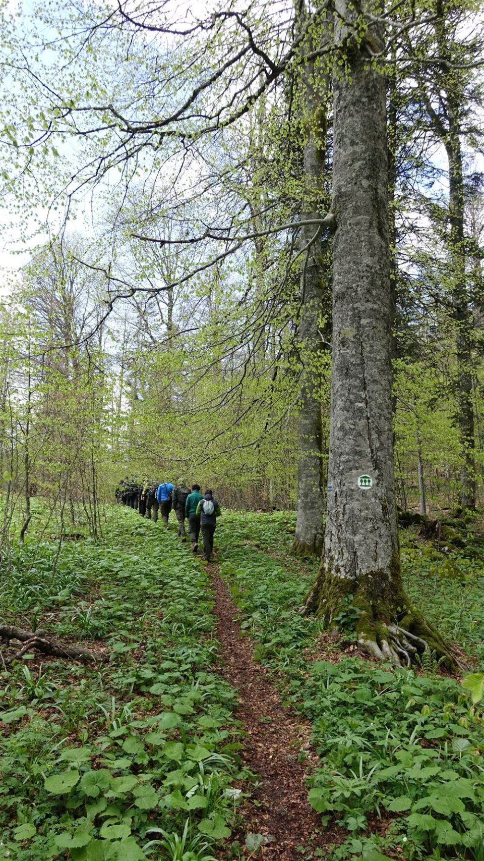
The path is a 2.0 km loop with 126 m of ascent and 122 m of descent between 1060 and 1,186 m. According to PZS, the start is marked by three information boards on the Pragozd Krokar forest reserve, the UNESCO beech forests and the path itself. From the car park to the top of Cerk it coincides with the marked mountain path to Cerk, and there the description mentions a view over the extensive forests of Kočevska and the virgin forest below the summit. Named points are Razcep poti and Razgledišče, and the summit of Cerk (1,190 m) lies on the route. PZS classes it as a moderately demanding forest educational trail because of roughly 126 m of climbing over a short distance, while most of it is level. NaHrib calculates about 55 min for the loop. The Slovenia Forest Service looks after it.
Frequently asked questions
How long is Pragozdna pot Krokar and how much time do I need?
It is a 2.0 km loop with 126 m of ascent. NaHrib calculates about 55 min for the loop.
How demanding is it?
PZS classes it as moderately demanding. There is roughly 126 m of climbing over a short distance towards Cerk, while most of the path is described as level and technically undemanding.
What is there along the way?
Three information boards at the start explain the Krokar virgin forest and the UNESCO beech forests. The summit of Cerk (1,190 m) and Razgledišče are on the route.
Who looks after the path?
The Slovenia Forest Service.
Photos
Difficulty
i
SAC scale from OSM, not an official rating
Moderate
- DogNo data
- KidsNo data
Community reports
i
Unverified. User reports never change the official status.
No reports yet.
Log in Report conditions · Add a photo
Spotted a mistake? An editor checks it before anything changes.
Report incorrect data
Spotted a mistake? An editor checks it before anything changes.