Elevation profile
- Walking time
- 40 minup · 40 min down
- Distance
- 872 mOut and back
- Ascent
- 98 m
- Highest point
- 843 m
About this hike
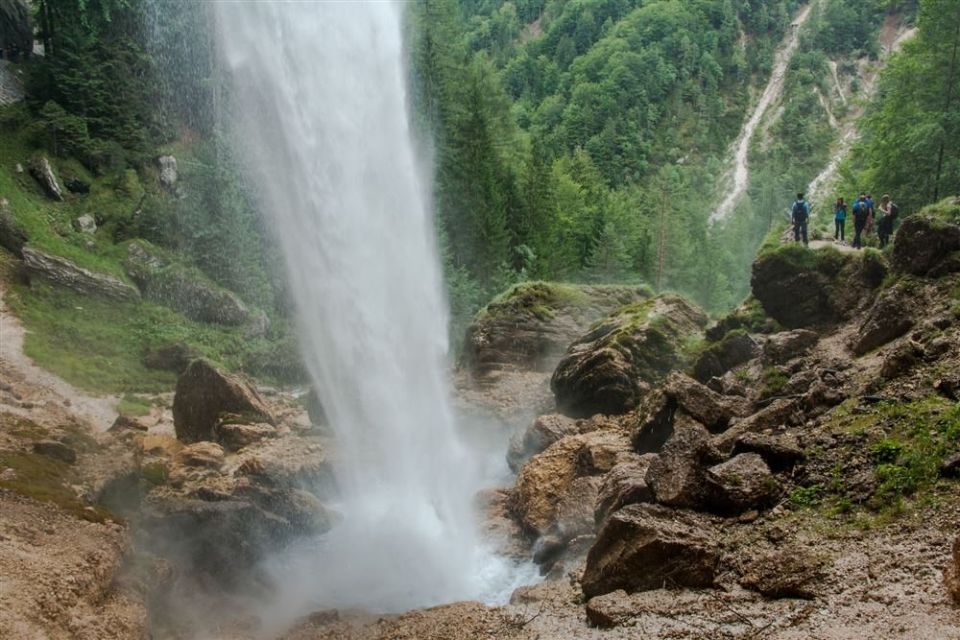
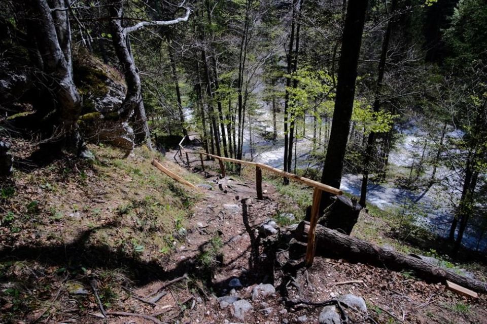
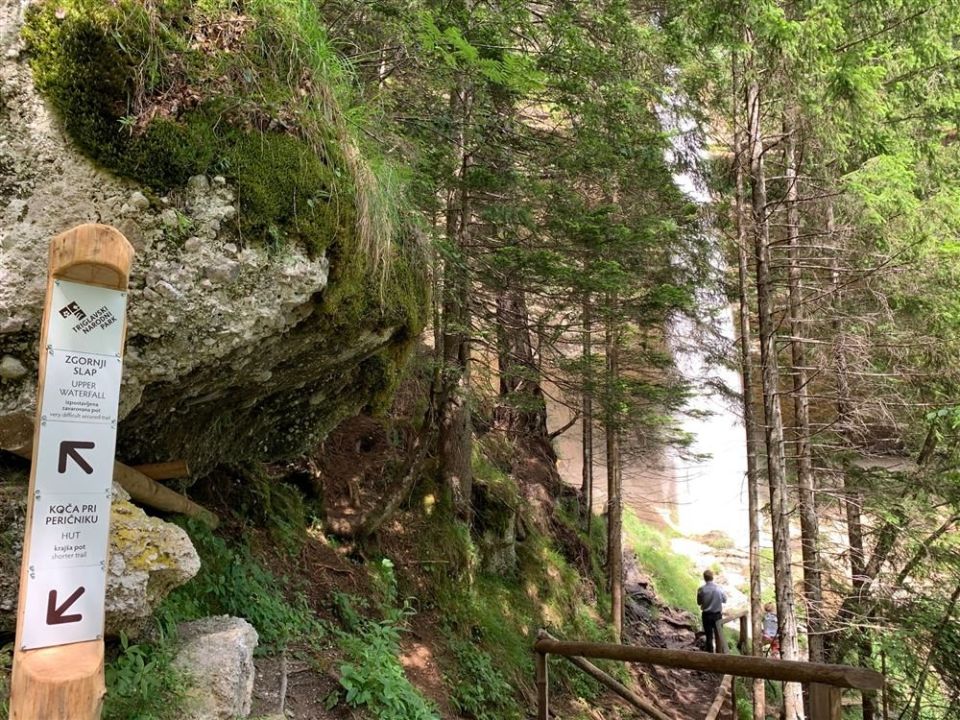
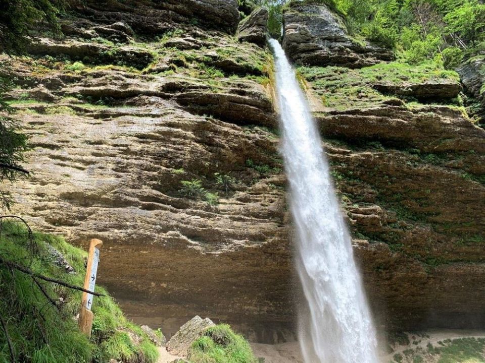
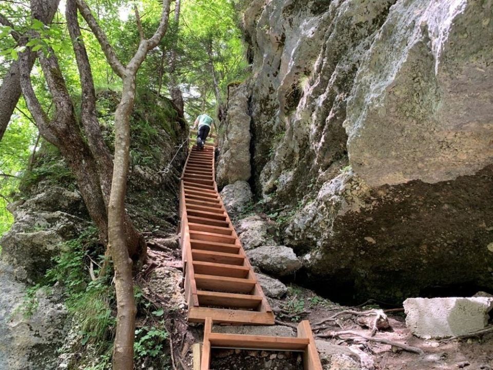
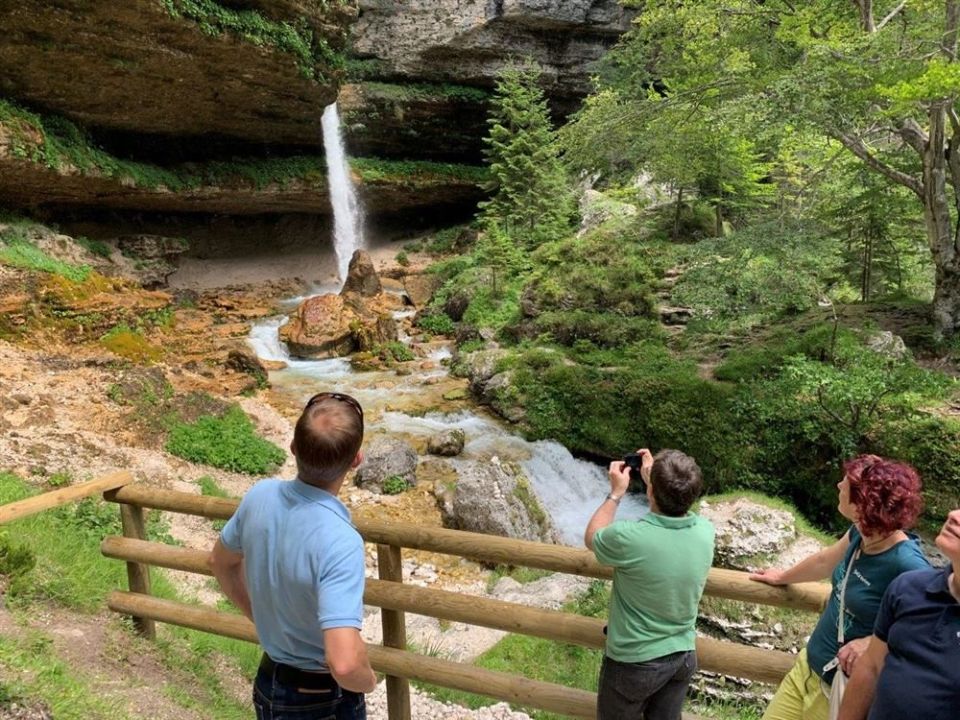
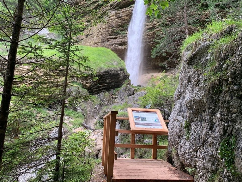
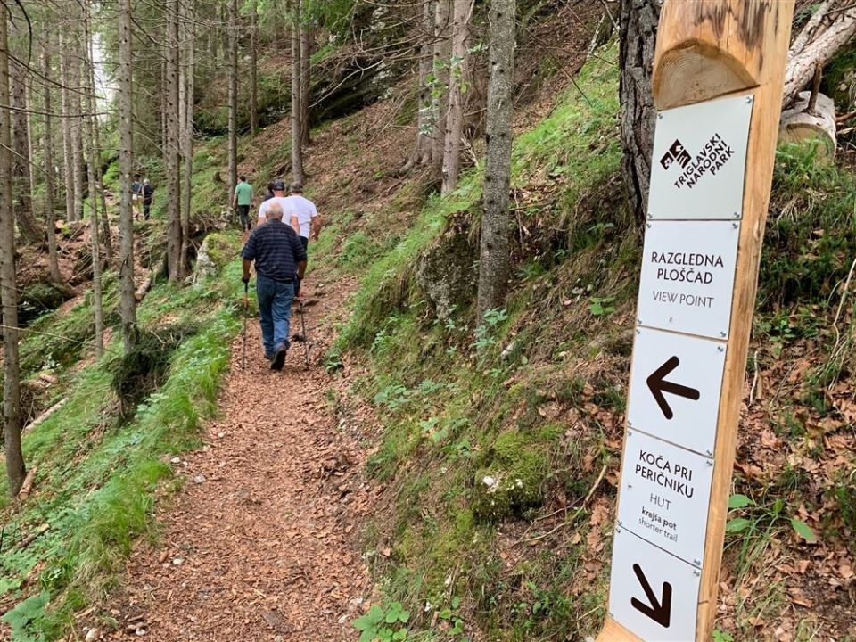
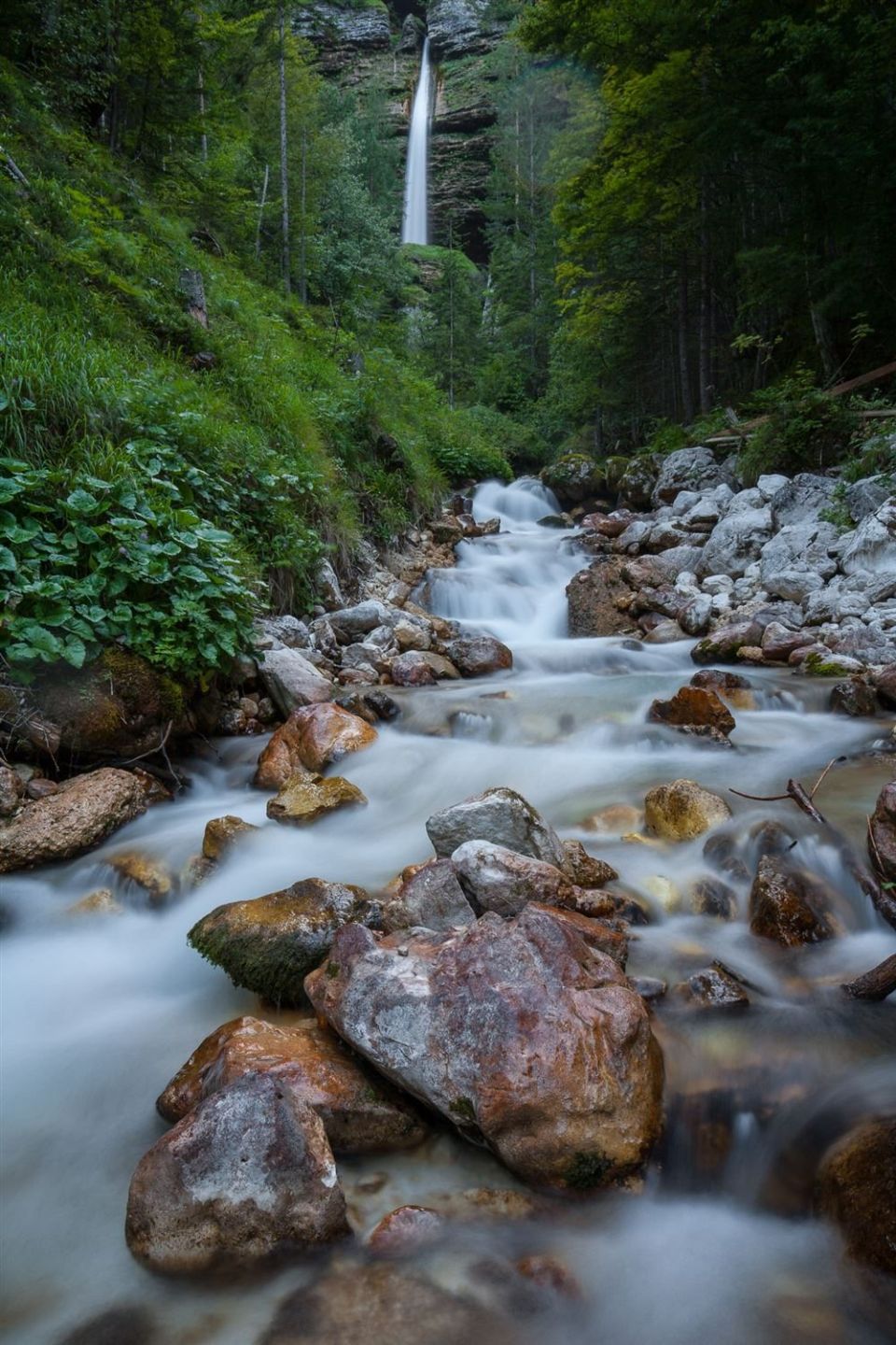
The trail starts and ends by Koča pri Peričniku (753 m, 10 m from the path) next to the Triglav National Park information board. It runs between 756 m and 843 m, with 98 m of ascent and 102 m of descent. The lower Peričnik fall lies right on the route at 834 m, while the Zgornji Peričnikov slap is 40 m away at 859 m. According to the Alpine Association of Slovenia, the section behind the lower fall is dangerous and needs extra care, and steep steps lead up to the upper fall, with a drop at the top. It is an easy hiking trail with steep sections; NaHrib's calculation gives about 40 min each way. You can lengthen the walk by starting in Mojstrana and following the Triglavska Bistrica path.
Frequently asked questions
How long is the trail and how much time do I need?
The trail is 0.9 km long. NaHrib's calculation gives about 40 min in each direction.
How do I get to the start?
The Peričnik bus stop is just 10 m from the start at Koča pri Peričniku.
What is there to see, and where is care needed?
The lower Peričnik fall is on the route and the Zgornji Peričnikov slap is 40 m away. The Alpine Association says the section behind the lower fall is dangerous, and steep steps with a drop at the top lead to the upper fall.
When can I go?
The Alpine Association of Slovenia lists May to September. Triglav National Park looks after the trail.
Photos
Difficulty
i
SAC scale from OSM, not an official rating
Moderate
- DogNo data
- KidsSuitable
Community reports
i
Unverified. User reports never change the official status.
No reports yet.
Log in Report conditions · Add a photo
Spotted a mistake? An editor checks it before anything changes.
Report incorrect data
Spotted a mistake? An editor checks it before anything changes.