Elevation profile
- Walking time
- 6 h 5 mintotal
- Distance
- 14 kmLoop
- Ascent
- 807 m
- Highest point
- 1,305 m
Before you go
-
Long ascentover 800 m
Plan enough time, water and rest.
About this hike
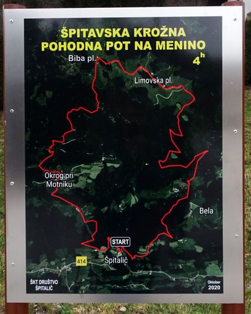
The route has 807 m of ascent and 803 m of descent and begins 20 m from the Špitalič/Motniku bus stop in the municipality of Kamnik. It passes Špitalijski bajer (70 m from the route) on its way to Dom na Bibi, which is 20 m from it. Also beside the route are the summit of Požega (110 m), Kozji hrbet (60 m) and Glisnik (140 m). Other named points include Požega, Koča na Bibi planini, Kriva veja, Vrh drč and Zgornji Okrog. The route is a path from beginning to end. The local community looks after it, and the PZS register lists it as an easy tourist path. NaHrib calculates about 6 h 5 min for the whole loop.
Frequently asked questions
How long is the route and how much time do I need?
The loop is 13.8 km long with 807 m of ascent. NaHrib calculates about 6 h 5 min for the whole route.
Where does it start and how do I get there?
It starts 20 m from the Špitalič/Motniku bus stop.
What can I see along the way?
Špitalijski bajer (70 m from the route), Dom na Bibi (20 m), the summit of Požega (110 m), Kozji hrbet (60 m) and Glisnik (140 m).
How demanding is it and who looks after it?
The PZS register lists it as an easy tourist path and NaHrib rates it as easy, though it has 807 m of ascent. The local community looks after it.
Photos
Difficulty
i
SAC scale from OSM, not an official rating
Easy
- DogNo data
- KidsNo data
Community reports
i
Unverified. User reports never change the official status.
No reports yet.
Log in Report conditions · Add a photo
Spotted a mistake? An editor checks it before anything changes.
Report incorrect data
Spotted a mistake? An editor checks it before anything changes.