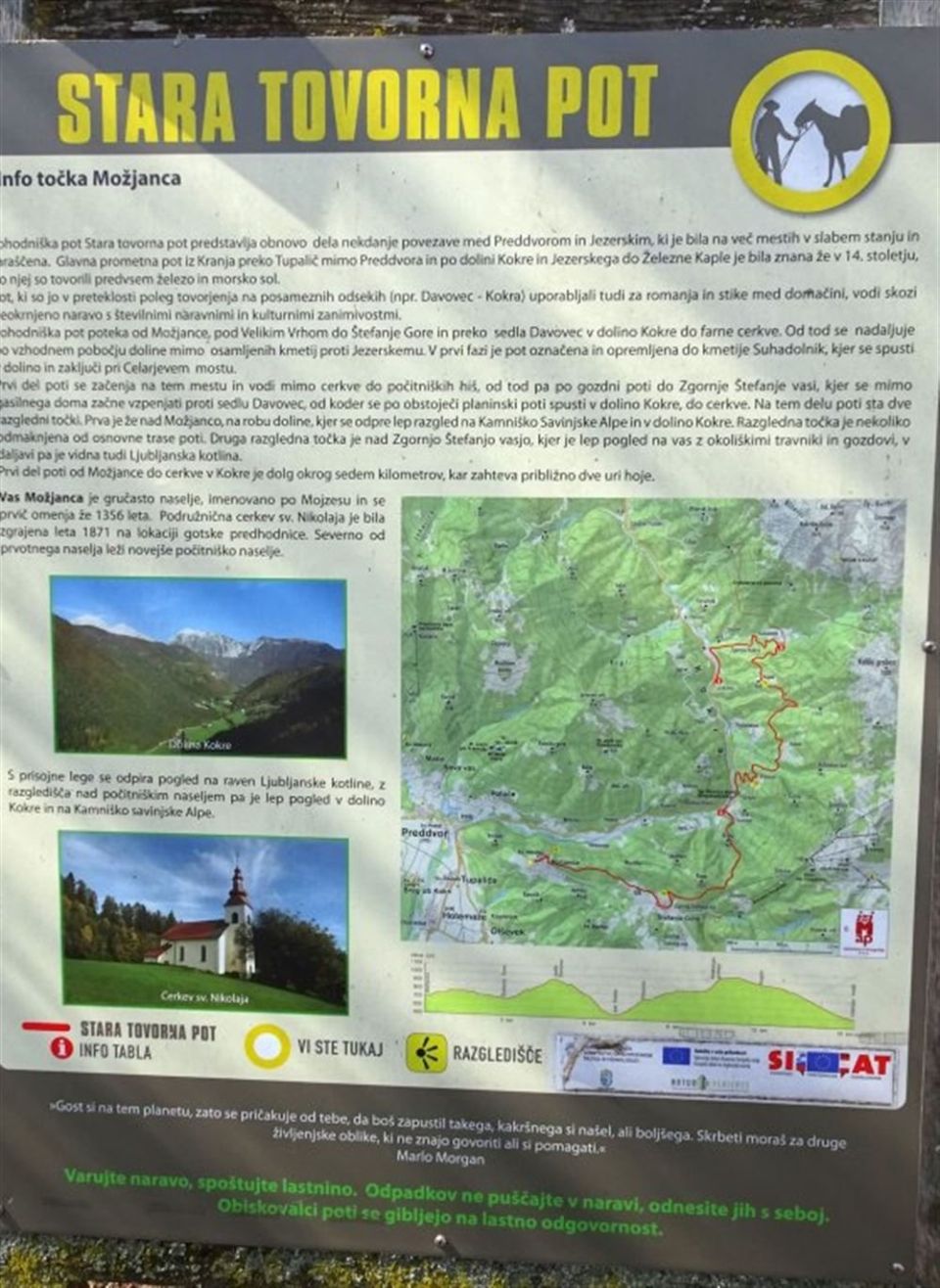
Elevation profile
- Walking time
- 7 h 20 minup · 7 h 10 min down
- Distance
- 16 kmOut and back
- Ascent
- 1,031 m
- Highest point
- 1,042 m
Before you go
-
Long ascentover 800 m
Plan enough time, water and rest.
About this hike
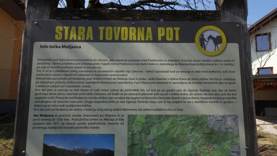
Stara tovorna pot in the municipality of Preddvor is 16.4 km long. Ascent is 1,031 m and descent 925 m, with the altitude between 527 and 1,042 m. The local community looks after it, and it is classed as an easy tourist trail. Named points include Celarjev most, Suhadolnikov potok, Neškarjev graben, Sedlo Davovec and Možjanca. Davovec saddle (932 m) lies directly on the route and the peak Kogel (964 m) 30 m from it. Along the way are the church of the Immaculate Virgin Mary at Kokra, the church of St Nicholas at Možjanca and the archaeological area east of the village of Možjanca. Two drinking-water points and two toilets lie along the route. NaHrib calculates roughly 440 minutes uphill and 430 minutes downhill.
Frequently asked questions
How long is Stara tovorna pot and how much time does it take?
The trail is 16.4 km long. NaHrib calculates roughly 440 minutes uphill and about 430 minutes downhill.
How do I reach the start by public transport?
The Kokra kamnolom bus stop is about 150 m from the start.
What is there along the route?
Davovec saddle (932 m) lies directly on the route and the peak Kogel (964 m) 30 m away. The church at Kokra, the church of St Nicholas at Možjanca and the archaeological area east of Možjanca are also along the way.
How demanding is it?
It is classed as an easy tourist trail, but ascent is 1,031 m and the altitude ranges between 527 and 1,042 m.
Photos
Difficulty
i
SAC scale from OSM, not an official rating
Easystrenuous
- DogNo data
- KidsNo data
Community reports
i
Unverified. User reports never change the official status.
No reports yet.
Log in Report conditions · Add a photo
Spotted a mistake? An editor checks it before anything changes.
Report incorrect data
Spotted a mistake? An editor checks it before anything changes.