Elevation profile
- Walking time
- 40 minup · 40 min down
- Distance
- 2.3 kmOut and back
- Ascent
- 57 m
- Highest point
- 304 m
About this hike
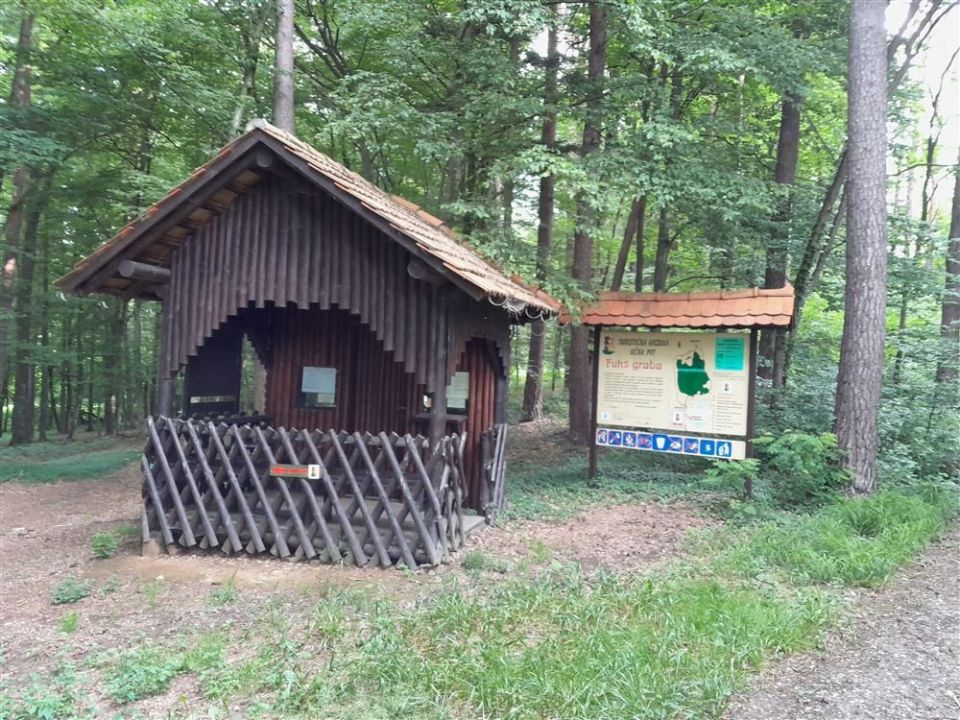
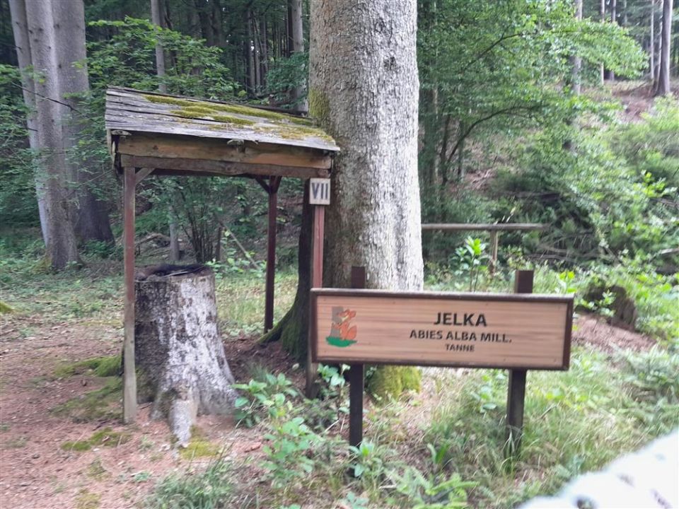
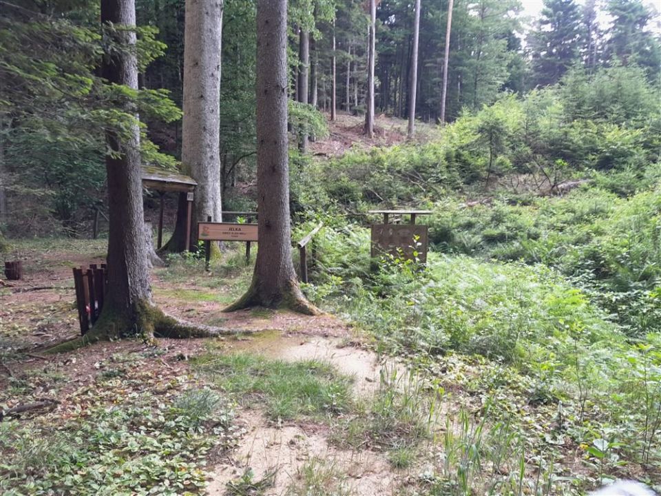
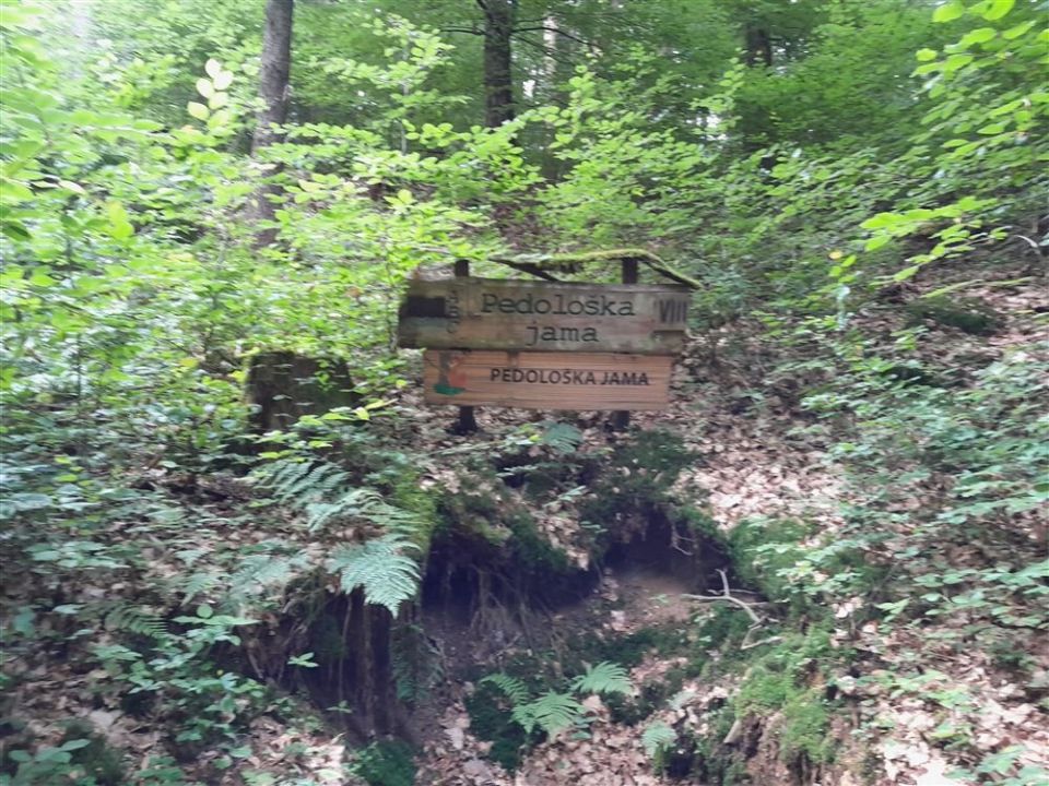
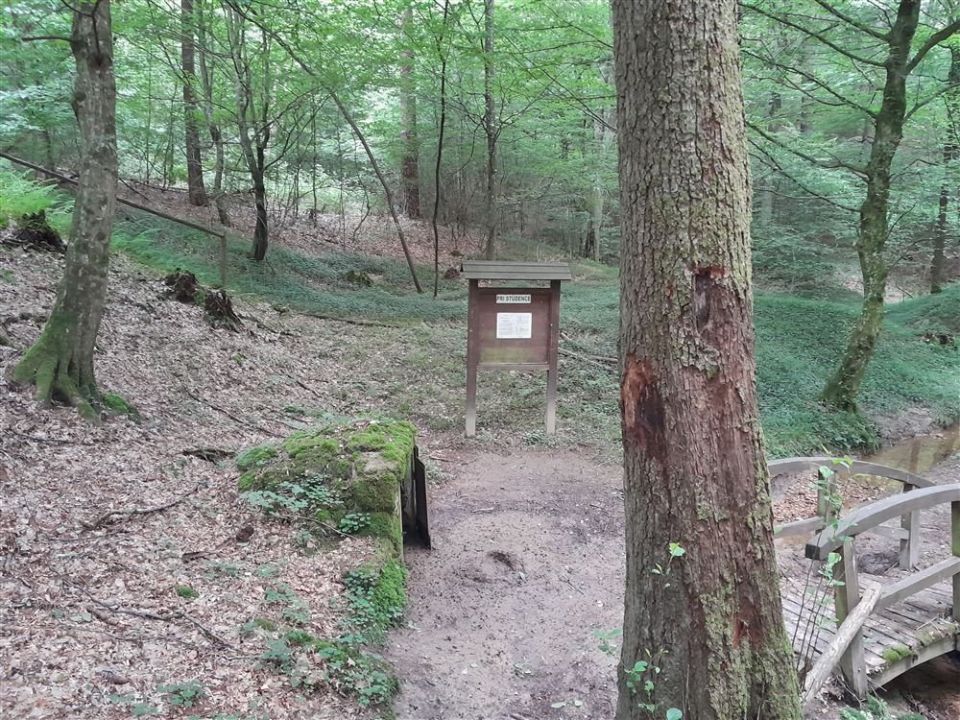
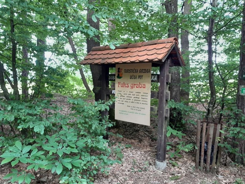
The tourist forest educational trail Fuks graba is 2.3 km long and is not a loop. It starts at the information hut, descends into a small valley to a stream, then continues with short climbs and descents to a spring, where it rises steeply to a plateau and ends on a well-trodden forest path beside an asphalt local road. The learning stops are Drevesne vrste, Obnova gozda, Rast drevesa in ptice v gozdu, Pedološka jama and Gozd, potok, voda. The altitude is between 240 m and 304 m, with 57 m of ascent and 5 m of descent. The trail is described as easy and undemanding, and by NaHrib's calculation one direction takes about 40 min. PZS gives January to December as the season.
Frequently asked questions
How long is the trail and how much time do I need?
The trail is 2.3 km long. By NaHrib's calculation one direction takes about 40 min.
Where does it start and end?
It starts at the information hut and ends beside an asphalt local road.
Which learning stops are along the trail?
Drevesne vrste, Obnova gozda, Rast drevesa in ptice v gozdu, Pedološka jama and Gozd, potok, voda.
How demanding is it?
It is described as an easy, undemanding trail. The ascent is 57 m and the highest point is 304 m.
Photos
Difficulty
i
SAC scale from OSM, not an official rating
Easy
- DogNo data
- KidsSuitable
Community reports
i
Unverified. User reports never change the official status.
No reports yet.
Log in Report conditions · Add a photo
Spotted a mistake? An editor checks it before anything changes.
Report incorrect data
Spotted a mistake? An editor checks it before anything changes.