Elevation profile
- Walking time
- 2 h 30 mintotal
- Distance
- 7.6 kmLoop
- Ascent
- 210 m
- Highest point
- 1,350 m
About this hike
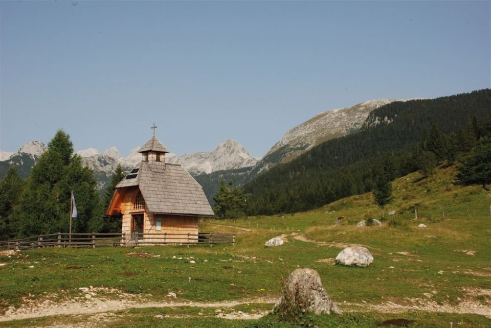
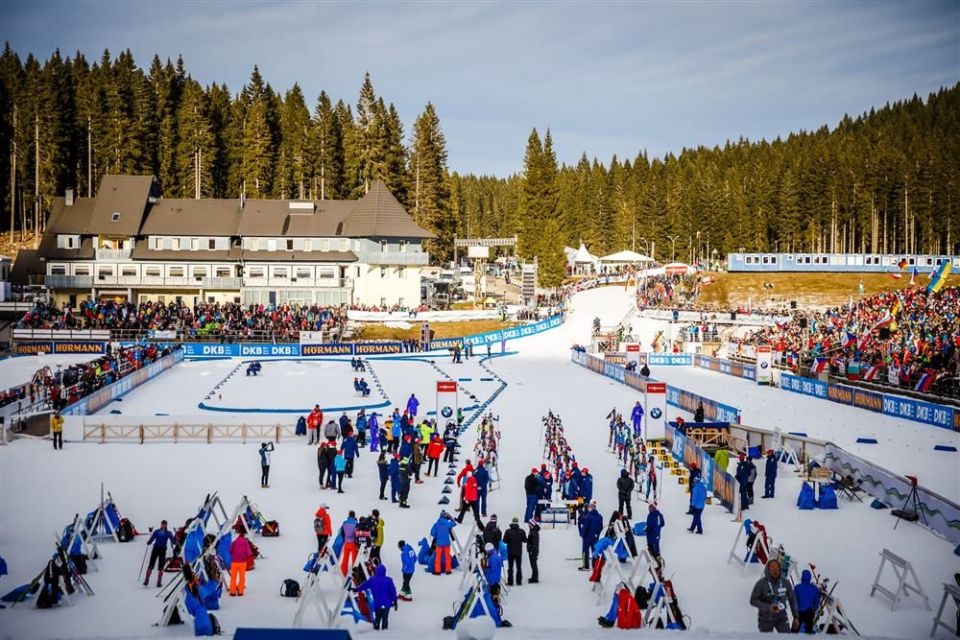
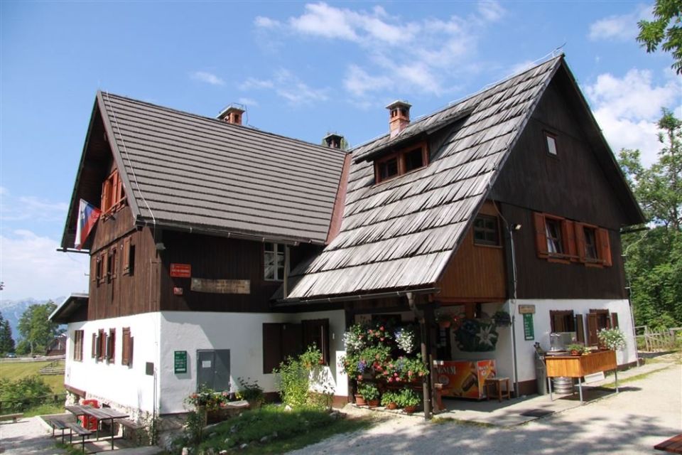
The path leads from the car park at Rudno polje along an asphalt road past the biathlon centre, then along a gravel forest road and a cart track to the pastures at Razpotje. At the bridge over the Ribnica gorge it turns towards Uskovnica and reaches the mountain hut Planinska koča na Uskovnici (1,154 m, 10 m from the path). The loop is 7.6 km long, with 210 m of ascent and 213 m of descent, between 1,148 m and 1,350 m altitude. There is one drinking-water point by the hut. By NaHrib's calculation the full circuit takes about 2 h 30 min. It is classed as an easy tourist path, is managed by Triglav National Park and lies in the municipality of Bohinj.
Frequently asked questions
How long is the path from Rudno polje to Uskovnica and how long does it take?
It is a 7.6 km loop with 210 m of ascent. By NaHrib's calculation the full circuit takes about 2 h 30 min.
Where can I park and how do I arrive by bus?
The car park Rudno polje - Športni center Triglav Pokljuka is 30 m from the start, and the Pokljuka Rudno polje bus stop is 20 m away.
What is there along the route?
The hut Planinska koča na Uskovnici (1,154 m) is 10 m from the path, with a drinking-water point beside it. The path passes the biathlon centre and the Ribnica gorge.
How demanding is the path and who manages it?
It is classed as an easy tourist path. Triglav National Park manages it.
Photos
Difficulty
i
SAC scale from OSM, not an official rating
Easy
- DogNo data
- KidsSuitable
Community reports
i
Unverified. User reports never change the official status.
No reports yet.
Log in Report conditions · Add a photo
Spotted a mistake? An editor checks it before anything changes.
Report incorrect data
Spotted a mistake? An editor checks it before anything changes.