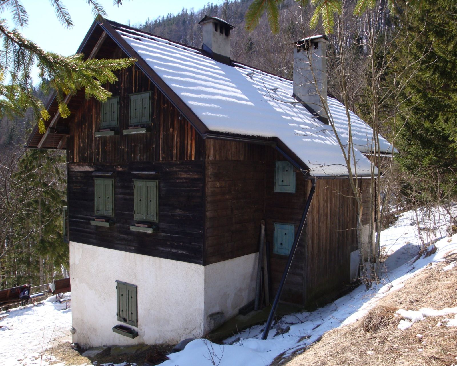
Mich973, CC BY-SA 3.0
Dom Čemšenik
Planinski dom Čemšenik stands at the end of the Čemšeniški potok valley in the settlement of Kokra, among the slopes of Baba, Potoška gora, Javorov vrh and Slaparjeva gora.
How to get here 3
i
NaHrib hikes are prepared by our editors. Official approaches are computed on the GURS register of mountain trails (quickest way from a start with parking), ascent from the GURS 12.5 m elevation model, time per DIN 33466. They are not reviewed hikes – check difficulty and conditions before you go.
GURS ZK GJI · GURS DMV 12,5 m (CC BY 4.0)
-
Official mountain trail · computed
Pod Čemšenikom
Start with parking
1 h 25 min 2.4 km 332 m
-
Official mountain trail · computed
Podagar
Start with parking
3 h 20 min 4.3 km 599 m
-
Official mountain trail · computed
Pod Sv. Lovrencom
Start with parking
5 h 50 min 10 km 886 m
Official approaches are computed on the GURS trail register; time per DIN 33466 without breaks. Check difficulty and conditions before you go. No listed closure does not mean the trail is open or safe.
About this place
Planinski dom Čemšenik lies at the end of the Čemšeniški potok valley, in the settlement of Kokra. The valley runs east–west and is enclosed by the slopes of Baba, Potoška gora, Javorov vrh and Slaparjeva gora. The hut is in the Kamnik–Savinja Alps; its address is Kokra 13. For current information about visiting, contact the hut in advance by calling +386 40 201 898 or emailing katarina.drzanic@gmail.com.
Frequently asked questions
Where is Planinski dom Čemšenik?
At the end of the Čemšeniški potok valley, in the settlement of Kokra, at Kokra 13.
Which slopes surround the valley?
Baba, Potoška gora, Javorov vrh and Slaparjeva gora.
How can I check current visitor information?
Call +386 40 201 898 or email katarina.drzanic@gmail.com.
Photos
-
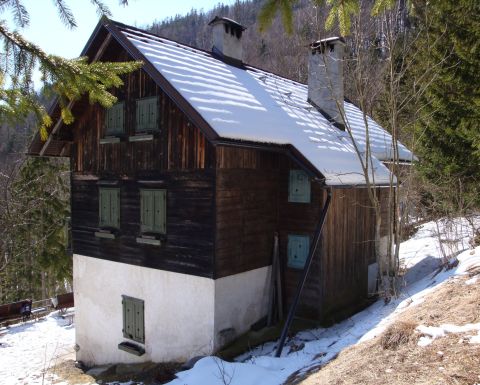 Planinski dom Čemšenik, photographed on 14 March 2010; the pale ground floor and timber upper facade with green shutters are visible. Photo: wikipedia user Mich973, »Dom na Čemšeniku.jpg«, photograph by the author, Wikimedia Commons, CC BY-SA 3.0. wikipedia user Mich973, »Dom na Čemšeniku.jpg«, fotografija avtorja, Wikimedia Commons, CC BY-SA 3.0. · CC BY-SA 3.0
Community reports
i
Unverified. User reports never change the official status.
No reports yet.
Log in Check-in · Report conditions · Add a photo
Nearby
- Baba Peak · 1,119 m · 0.6 km
- Mali vrh Peak · 888 m · 0.7 km
- Slaparjeva gora Peak · 1,237 m · 0.9 km
- Izvir pod Javorovim vrhom Spring · 1,335 m · 1.1 km
- Potoška gora Peak · 1,283 m · 1.1 km
- Javorov vrh Peak · 1,434 m · 1.1 km
- Hude stene Peak · 1,208 m · 1.3 km
- Razgledna točka nad Sv. Jakobom Viewpoint · 1,071 m · 1.6 km
- Škrbina Peak · 1,142 m · 1.8 km
Spotted a mistake or run this place?
Report incorrect data
Spotted a mistake? An editor checks it before anything changes.
Claim this listing
Do you run this hut or place? Send a request and we will verify it by email or phone.