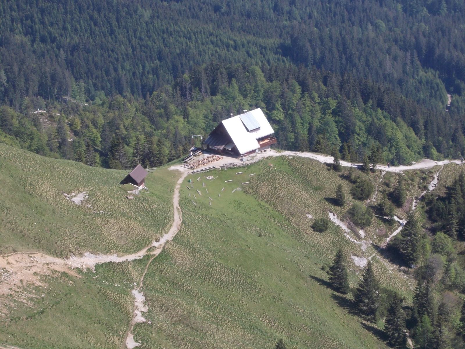
Janezdrilc, CC0 1.0
Koča na Golici
Koča na Golici stands on the southern slope of Golica in the Karawanks, on the site of the former lower hut.
How to get here 3
i
NaHrib hikes are prepared by our editors. Official approaches are computed on the GURS register of mountain trails (quickest way from a start with parking), ascent from the GURS 12.5 m elevation model, time per DIN 33466. They are not reviewed hikes – check difficulty and conditions before you go.
GURS ZK GJI · GURS DMV 12,5 m (CC BY 4.0)
-
Official mountain trail · computed
Planina pod Golico
Start with parking
2 h 30 min 3.8 km 602 m
-
Official mountain trail · computed
Pristava
Start with parking
2 h 50 min 6.7 km 586 m
-
Official mountain trail · computed
Jesenice, Ukova
Start with parking
5 h 25 min 11 km 1,108 m
Official approaches are computed on the GURS trail register; time per DIN 33466 without breaks. Check difficulty and conditions before you go. No listed closure does not mean the trail is open or safe.
About this place
Koča na Golici stands on the site of the former lower hut on the southern slope of Golica in the Karawanks. Before the Second World War, there were two mountain huts on Golica; both were burned during the war. The hiking map published by the Municipality of Jesenice shows the hut area on a route past daffodil meadows characteristic of Golica’s slopes. Planinsko društvo Jesenice publishes a phone number and email for information about the hut. Check current opening hours and food options with the association before setting out.
Frequently asked questions
Where is Koča na Golici?
On Golica’s southern slope in the Karawanks, on the site of the former lower hut.
Where can I check opening hours and the current offer?
Contact Planinsko društvo Jesenice by phone or email.
Photos
-
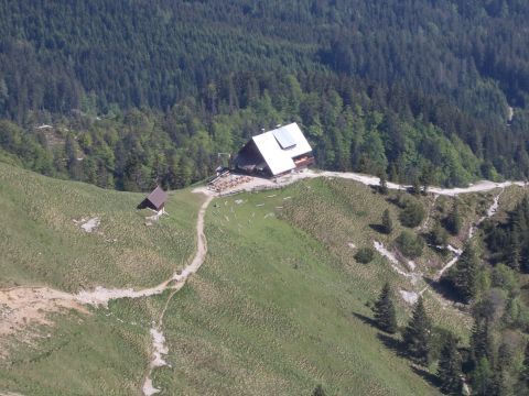 Koča na Golici, photographed on 28 May 2015. Photo: Janezdrilc, Wikimedia Commons, CC0 1.0. Janezdrilc, “Koča na Golici.JPG”, Wikimedia Commons, CC0 1.0 (https://creativecommons.org/publicdomain/zero/1.0/). · CC0 1.0
Community reports
i
Unverified. User reports never change the official status.
No reports yet.
Log in Check-in · Report conditions · Add a photo
Nearby
- Krvavka Peak · 1,784 m · 0.5 km
- Golica Peak · 1,834 m · 0.8 km
- Mala Golica Peak · 1,646 m · 0.9 km
- Brdo Peak · 1,192 m · 1.0 km
- Planina Možine Alpine pasture · 1,352 m · 1.1 km
- Slap Bašar Waterfall · 1,038 m · 1.5 km
- Peredlj Peak · 1,027 m · 1.8 km
Spotted a mistake or run this place?
Report incorrect data
Spotted a mistake? An editor checks it before anything changes.
Claim this listing
Do you run this hut or place? Send a request and we will verify it by email or phone.