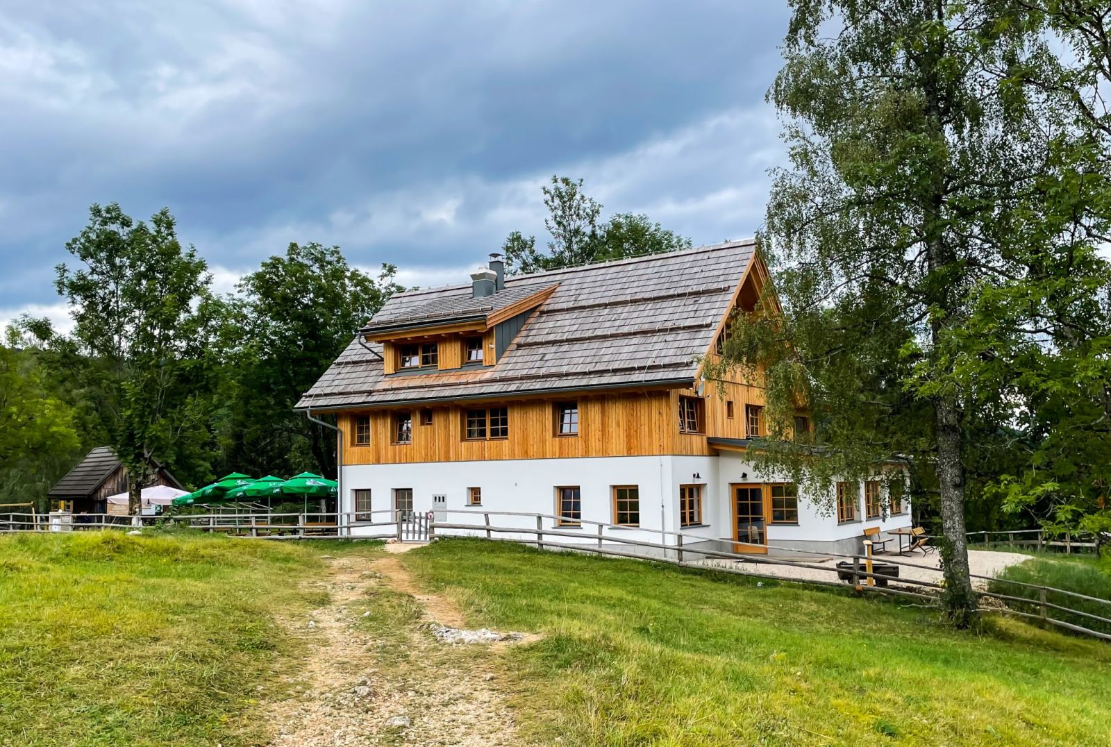
Jernej Furman, CC BY 2.0
Planinska koča na Uskovnici
The mountain hut Planinska koča na Uskovnici stands on the lower part of the broad Uskovnica pasture, on the south-eastern edge of Pokljuka above the Upper Bohinj Valley and the Voje Valley.
About this place
The mountain hut Planinska koča na Uskovnici stands on the lower part of the pasture of the same name, in the south-eastern part of the Pokljuka plateau above Gornja Bohinjska dolina and the Voje Valley. Nearby are shepherds’ huts converted into holiday cottages. Planinsko društvo Bohinj–Srednja vas built the hut and opened it on 10 July 1955; it was enlarged and renovated in 1965. A wastewater treatment plant was installed by the building in 2010, and reconstruction and energy-efficiency works took place in 2021. The operator’s website provides information about the hut and separate price lists for food and rooms. For current offerings, availability and opening status, contact the hut or the association office; published prices and schedules may change.
Frequently asked questions
Where is Planinska koča na Uskovnici?
On the lower part of the Uskovnica pasture, in the south-eastern part of the Pokljuka plateau above Gornja Bohinjska dolina and the Voje Valley.
When did the hut open and when was it renovated?
It opened on 10 July 1955, was enlarged and renovated in 1965, and underwent reconstruction and energy-efficiency works in 2021.
Where can I check the offer and current opening information?
The operator publishes information about the hut and separate price lists for food and rooms. For current details, call the hut on +386 31 341 814 or use its official website.
Photos
-
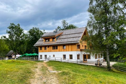 The wooden upper part and white ground-floor level of the hut on the Uskovnica pasture. Photo: Jernej Furman, 13 August 2022, Wikimedia Commons, CC BY 2.0. Jernej Furman, “Chalet Uskovnica Slovenia (52577794833).jpg”, Wikimedia Commons, CC BY 2.0 (https://creativecommons.org/licenses/by/2.0/). · CC BY 2.0
Official mountain trails
i
Official mountain trails from the GURS register that start or end here. Check difficulty and conditions before you go.
GURS, Zbirni kataster GJI (CC BY 4.0)
- towards Mlaka 292 m
Community reports
i
Unverified. User reports never change the official status.
No reports yet.
Log in Check-in · Report conditions · Add a photo
Nearby
- Planinska koča na Uskovnici | Parking Parking · 1,155 m · 0.0 km
- Planina Uskovnica Alpine pasture · 1,160 m · 0.2 km
- Rjavec Peak · 1,149 m · 0.4 km
- Planina Praprotnica Alpine pasture · 1,192 m · 0.9 km
- Planina Šeh Alpine pasture · 1,052 m · 1.7 km
- Planina na Šeh Alpine pasture · 1,081 m · 1.8 km
- Zgornji slap Ribnice Waterfall · 680 m · 1.8 km
- Spodnji slap Ribnice Waterfall · 660 m · 1.9 km
- Izvir Krope Spring · 681 m · 2.0 km
Spotted a mistake or run this place?
Report incorrect data
Spotted a mistake? An editor checks it before anything changes.
Claim this listing
Do you run this hut or place? Send a request and we will verify it by email or phone.